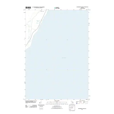
2011 Map of Henderson Lakes
USGS Topo · Published 2011About this map
Lake Michigan dominates the eastern shoreline of this coastal Michigan region, where the land meets the water along the Bay de Noc. The interior landscape is defined by the winding paths of the Bark River and South Ford River, which drain toward the Great Lake. Travelers and local residents utilize the m35 corridor as it parallels the shoreline, providing a primary connection through this Delta County township. Near the northern boundary, the South Ford River Cemetery serves as a significant landmark for those researching family history in Ford River Township. Small inland water bodies, specifically the Henderson Lakes, are clustered near the coast, reflecting the glaciated topography of the Upper Peninsula. This 2011 survey captures the balance between the open expanse of the lake and the wooded, riverine environments that characterize the local geography.
Find a feature on this map
6 named features on this map. Tap any name to fly to it.
Don’t see what you’re looking for? This feature index may not catch every label — zoom into the map to look around manually.
Map Details
Editions of this 2011 Henderson Lakes Map
This is the sole edition of this map. No revisions or reprints were ever made.
Other maps of this area

1932 · Bark River NE
USGS Topo · 1:31,680

1954 · Escanaba
USGS Topo · 1:250,000

1957 · Escanaba
USGS Topo · 1:250,000

1958 · Escanaba
USGS Topo · 1:250,000

1958 · Escanaba
USGS Topo · 1:62,500

1960 · Ellison Bay
USGS Topo · 1:62,500

1963 · Bark River
USGS Topo · 1:62,500

1963 · Cedar River
USGS Topo · 1:62,500

1981 · Marinette
USGS Topo · 1:100,000

1982 · Escanaba
USGS Topo · 1:100,000