2000s (21st Century) Maps of Escanaba Township, Michigan
Explore 25 historic maps of Escanaba Township from the 2000s (21st Century). These maps offer a rare glimpse into what life looked like during the 2000s — showing old roads, neighborhoods, homes, and landmarks that have changed or disappeared over time.
Whether you're researching your family's past, planning a metal detecting trip, or studying how Escanaba Township's landscape evolved across the 2000s, these high-resolution maps are a powerful tool for exploring the history of this region.
- Focus on a specific era: All maps on this page are from the 2000s, giving you a focused view of this time period.
- See what’s changed: Compare century-old streets, trails, and buildings to today's modern landscape using overlays and satellite layers.
- Research with precision: Use these maps for genealogy, historical research, land use analysis, or educational projects.
- View, download, or print: Maps are fully viewable online in high resolution, and can be downloaded or printed for your own records.
Start exploring Escanaba Township's history through authentic maps from the 2000s. This is your window into the past.
Escanaba Township, MI maps
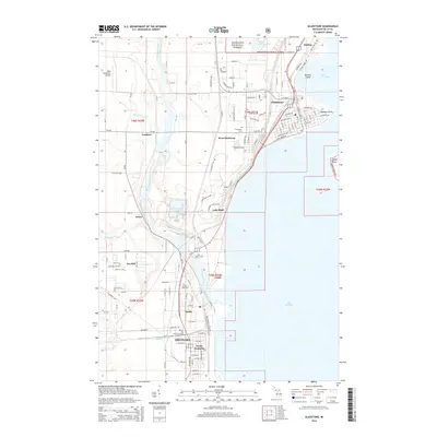
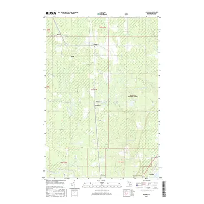
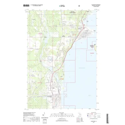
(25)- 2011 Map of Gladstone, 2011 Print
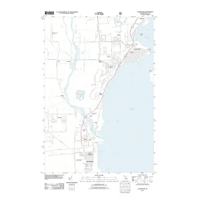 2011 Gladstone2011 Print · USGSCovers Escanaba Township, including Escanaba, Gladstone, and other nearby areas
 - 2011 Map of Perkins, 2011 Print
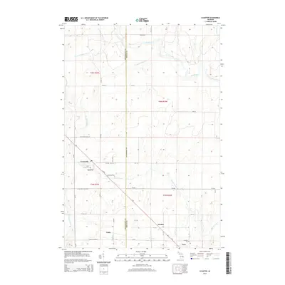
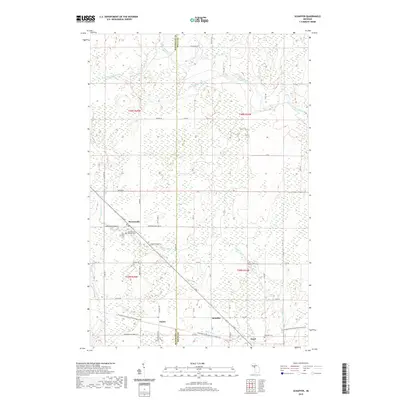
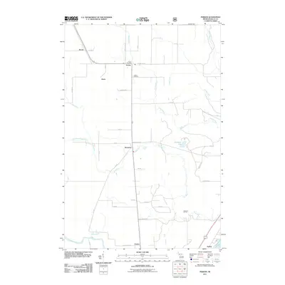 2011 Perkins2011 Print · USGSCovers Escanaba Township, including Brampton, Beaver, and other nearby areas
 - 2011 Map of Schaffer, 2011 Print
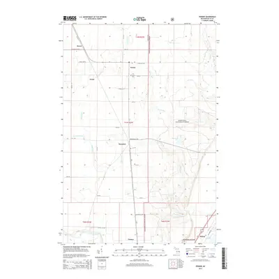
 2011 Schaffer2011 Print · USGSCovers Escanaba Township, including Ford River Township, Harris Township, and other nearby areas
 - 2011 Map of Chandler, 2011 Print
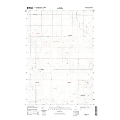
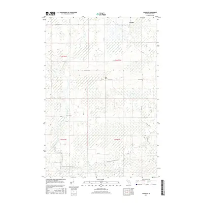
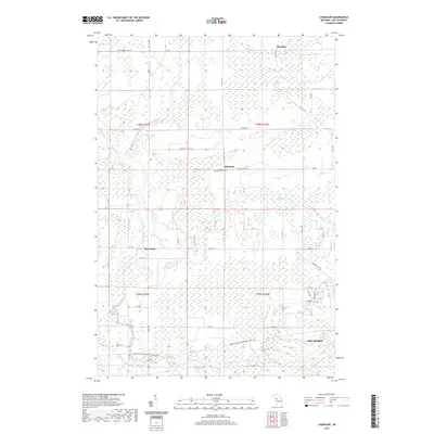
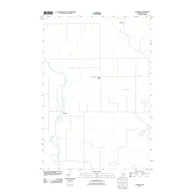 2011 Chandler2011 Print · USGSCovers Escanaba Township, including Escanaba, Ford River Township, and other nearby areas
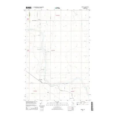
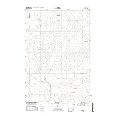
 - 2011 Map of Cornell, 2011 Print
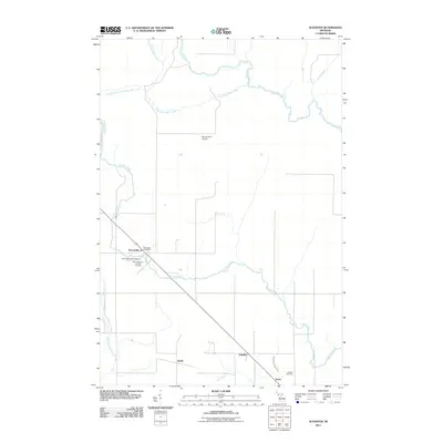
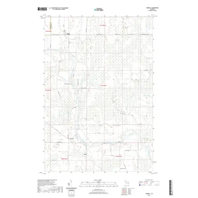
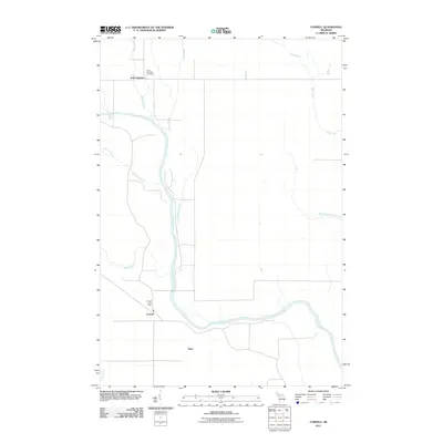 2011 Cornell2011 Print · USGSCovers Escanaba Township, including Cornell, Saint Nicholas, and other nearby areas
 - 2014 Map of Cornell, 2014 Print
 2014 Cornell2014 Print · USGSCovers Escanaba Township, including Cornell, Saint Nicholas, and other nearby areas
 - 2014 Map of Schaffer, 2014 Print
 2014 Schaffer2014 Print · USGSCovers Escanaba Township, including Ford River Township, Harris Township, and other nearby areas
 - 2014 Map of Perkins, 2014 Print
 2014 Perkins2014 Print · USGSCovers Escanaba Township, including Brampton, Beaver, and other nearby areas
 - 2014 Map of Chandler, 2014 Print
 2014 Chandler2014 Print · USGSCovers Escanaba Township, including Escanaba, Ford River Township, and other nearby areas
 - 2014 Map of Gladstone, 2014 Print
 2014 Gladstone2014 Print · USGSCovers Escanaba Township, including Escanaba, Gladstone, and other nearby areas
 - 2017 Map of Gladstone, 2017 Print
 2017 Gladstone2017 Print · USGSCovers Escanaba Township, including Escanaba, Gladstone, and other nearby areas
 - 2017 Map of Chandler, 2017 Print
 2017 Chandler2017 Print · USGSCovers Escanaba Township, including Escanaba, Ford River Township, and other nearby areas
 - 2017 Map of Perkins, 2017 Print
 2017 Perkins2017 Print · USGSCovers Escanaba Township, including Brampton, Beaver, and other nearby areas
 - 2017 Map of Cornell, 2017 Print
 2017 Cornell2017 Print · USGSCovers Escanaba Township, including Cornell, Saint Nicholas, and other nearby areas
 - 2017 Map of Schaffer, 2017 Print
 2017 Schaffer2017 Print · USGSCovers Escanaba Township, including Ford River Township, Harris Township, and other nearby areas
 - 2019 Map of Perkins, 2019 Print
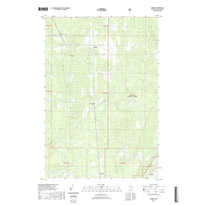 2019 Perkins2019 Print · USGSCovers Escanaba Township, including Brampton, Beaver, and other nearby areas
 - 2019 Map of Chandler, 2019 Print
 2019 Chandler2019 Print · USGSCovers Escanaba Township, including Escanaba, Ford River Township, and other nearby areas
 - 2019 Map of Cornell, 2019 Print
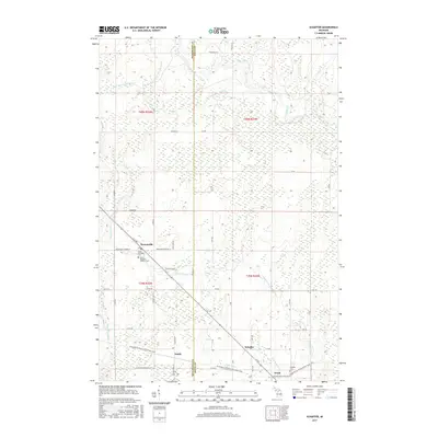
 2019 Cornell2019 Print · USGSCovers Escanaba Township, including Cornell, Saint Nicholas, and other nearby areas
 - 2019 Map of Schaffer, 2019 Print
 2019 Schaffer2019 Print · USGSCovers Escanaba Township, including Ford River Township, Harris Township, and other nearby areas
 - 2019 Map of Gladstone, 2019 Print
 2019 Gladstone2019 Print · USGSCovers Escanaba Township, including Escanaba, Gladstone, and other nearby areas
 - 2023 Map of Chandler, 2023 Print
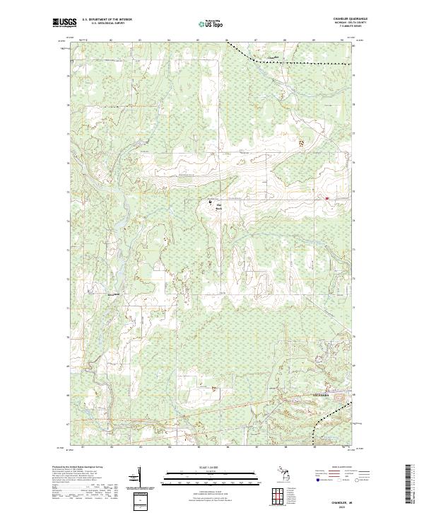 2023 Chandler2023 Print · USGSDelta County's rural interior is captured in this recent survey, showing the forested reaches north of the regional hub of Escanaba. Researchers can trace old section lines and property boundaries near the Flat Rock Cem or follow the Felch Grade Route Trail.
 - 2023 Map of Schaffer, 2023 Print
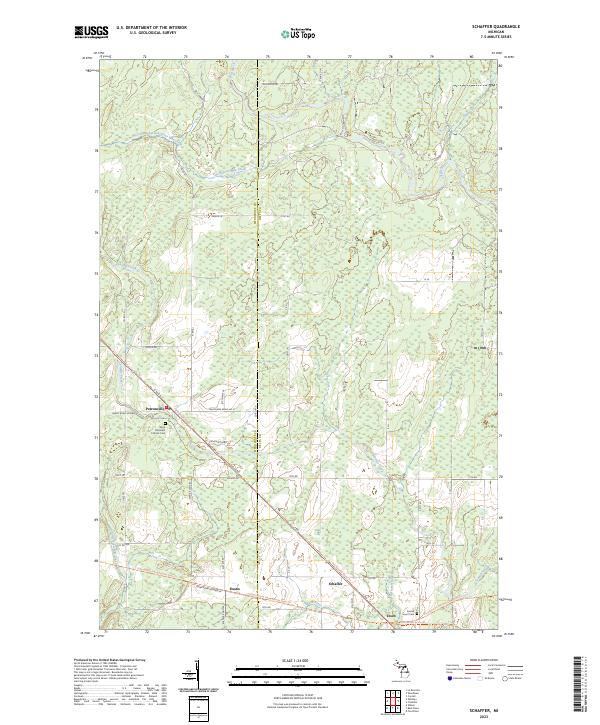 2023 Schaffer2023 Print · USGSThe rural landscapes of Delta and Menominee Counties are showcased in this recent survey of the Michigan Upper Peninsula. Researchers can trace the heritage of small settlements like Perronville and Schaffer or locate burial sites at Sacred Heart Cem.
 - 2023 Map of Gladstone, 2023 Print
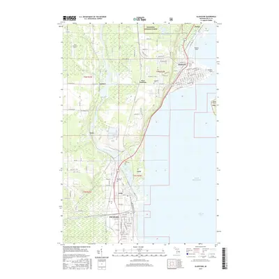
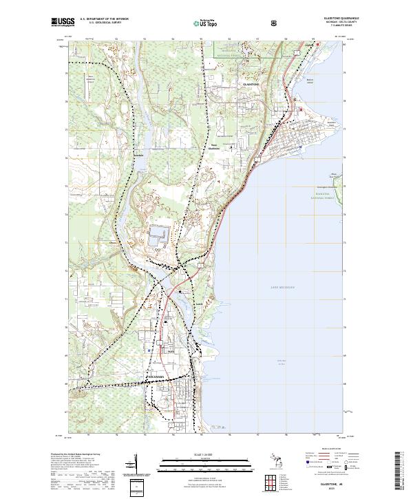 2023 Gladstone2023 Print · USGSCoastal Delta County settlements thrive along the Little Bay de Noc shoreline in this recent survey. Genealogists can locate family sites near Flat Rock Cem, while others may trace the Escanaba River from Chandler Falls to the lake.
 - 2023 Map of Cornell, 2023 Print
 2023 Cornell2023 Print · USGSDelta County's river-driven landscape is captured here in the 2020s, showing the enduring rural character of the central Upper Peninsula. Genealogists can locate Saint Nicholas Cem while researchers trace the paths of Bobs Creek and the Escanaba River.
 - 2023 Map of Perkins, 2023 Print
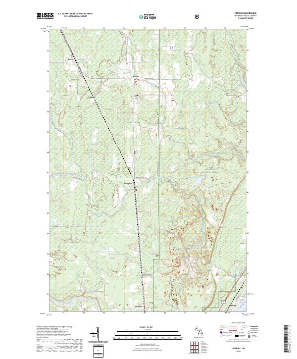 2023 Perkins2023 Print · USGSUpper Peninsula timber and river lands come into focus in this contemporary survey of central Delta County. Genealogists and local historians can trace the rural layout of settlements like Perkins, Brampton, and Kipling, or locate burials at Perkins Cem.
End of results
Showing maps 1-25 of 25
Top cities near Escanaba Township
- Escanaba historical maps
- Gladstone historical maps
- Wells historical maps
- Ford River historical maps
- Harris historical maps
- Bark River historical maps
See more
Top neighborhoods of Escanaba Township
- Chaison historical maps
- Lambert historical maps
- Flat Rock historical maps
- Groos historical maps
- West Gladstone historical maps
- Lake Bluff historical maps
Frequently asked questions
- What are the different types of historical maps available for Escanaba Township?
- What is the oldest map of Escanaba Township?
- Where can I purchase historical maps of Escanaba Township for my home or office?
- Where can I download high-res historical maps of Escanaba Township?
- Are there historical topographic maps available for Escanaba Township?
- Is there historical aerial imagery available for Escanaba Township?
- Where are historical maps of Escanaba Township sourced from?