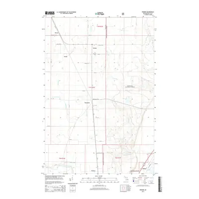
2014 Map of Perkins
USGS Topo · Published 2014About this map
Tacoosh River and Days River carve through the heavily forested interior of Delta County, defining a landscape largely encompassed by the Hiawatha National Forest. This region is characterized by small, dispersed settlements like Perkins, Brampton, and Beaver, which developed along the north-south corridor of Old M-35. The presence of the Perkins Cem and localized points such as Winde and Chaison reflect the area's rural history and community structure centered around timber and transportation routes.
Find a feature on this map
41 named features on this map. Tap any name to fly to it.
Don’t see what you’re looking for? This feature index may not catch every label — zoom into the map to look around manually.
Map Details
Editions of this 2014 Perkins Map
This is the sole edition of this map. No revisions or reprints were ever made.
Other maps of this area

1932 · Gladstone NE
USGS Topo · 1:31,680

1932 · Rock SW
USGS Topo · 1:31,680

1932 · Trenary SW
USGS Topo · 1:31,680

1932 · Gladstone SE
USGS Topo · 1:31,680

1932 · Rapid River NW
USGS Topo · 1:31,680

1932 · Rock SE
USGS Topo · 1:31,680

1932 · Rapid River SW
USGS Topo · 1:31,680

1932 · Gladstone SW
USGS Topo · 1:31,680

1932 · Gladstone NW
USGS Topo · 1:31,680

1950 · Gladstone NW
USGS Topo · 1:31,680