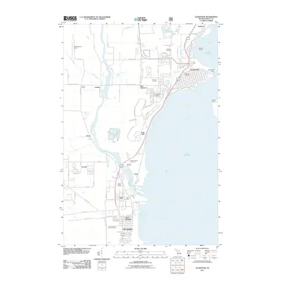
2011 Map of Gladstone
USGS Topo · Published 2011About this map
Little Bay de Noc and the western shores of Lake Michigan anchor this survey of Delta County, where the city of Gladstone occupies a prominent point of land. The landscape is defined by the convergence of industrial and recreational spaces, from the sprawling Upper Peninsula State Fairgrounds at the southern edge near Escanaba to the Gladstone Sports Park and Irish Oaks Golf Course and Driving Range further north. The Escanaba River winds toward the bay, passing through small settlements like Groos and Wells. Genealogists will find interest in several local burial grounds, including Fernwood Cemetery, Flat Rock Cemetery, and the Garden of Rest Cemetery. Along the shoreline, geographic features such as Saunders Point and Butlers Island frame the harbor, while inland developments like the WestGladstone Airport and the village of Kipling show the continued growth of this Upper Peninsula coastal corridor.
Find a feature on this map
68 named features on this map. Tap any name to fly to it.
Don’t see what you’re looking for? This feature index may not catch every label — zoom into the map to look around manually.
Map Details
Editions of this 2011 Gladstone Map
This is the sole edition of this map. No revisions or reprints were ever made.
Other maps of this area

1932 · Gladstone NE
USGS Topo · 1:31,680

1932 · Gladstone SE
USGS Topo · 1:31,680

1932 · Rapid River NW
USGS Topo · 1:31,680

1932 · Rapid River SW
USGS Topo · 1:31,680

1932 · Gladstone SW
USGS Topo · 1:31,680

1932 · Gladstone NW
USGS Topo · 1:31,680

1950 · Gladstone NW
USGS Topo · 1:31,680

1954 · Escanaba
USGS Topo · 1:250,000

1957 · Escanaba
USGS Topo · 1:250,000

1958 · Escanaba
USGS Topo · 1:250,000