2020s Maps of Fairbanks Township, Michigan
Explore 9 historic maps of Fairbanks Township from the 2020s. These maps offer a rare glimpse into what life looked like during the 2020s — showing old roads, neighborhoods, homes, and landmarks that have changed or disappeared over time.
Whether you're researching your family's past, planning a metal detecting trip, or studying how Fairbanks Township's landscape evolved across the 2020s, these high-resolution maps are a powerful tool for exploring the history of this region.
- Focus on a specific era: All maps on this page are from the 2020s, giving you a focused view of this time period.
- See what’s changed: Compare century-old streets, trails, and buildings to today's modern landscape using overlays and satellite layers.
- Research with precision: Use these maps for genealogy, historical research, land use analysis, or educational projects.
- View, download, or print: Maps are fully viewable online in high resolution, and can be downloaded or printed for your own records.
Start exploring Fairbanks Township's history through authentic maps from the 2020s. This is your window into the past.
Fairbanks Township, MI maps
(9)- 2022 Map of Washington Island NE, 2022 Print
 2022 Washington Island NE2022 Print · USGSThe islands and passages of the Door County archipelago are documented here in the early twenty-first century. Researchers can trace land tracts near Jackson Harbor or locate the historic Saint Martin Island Cem on the northern islands.
 - 2023 Map of Fairport, 2023 Print
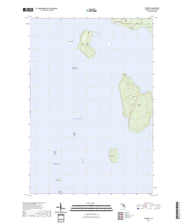 2023 Fairport2023 Print · USGSThe southern tip of the Garden Peninsula meets the island chains of Lake Michigan in this contemporary survey. Maritime researchers can trace the shorelines of Summer Island, locate the remote Poverty Island, and identify the small fishing settlement at Fairport.
 - 2023 Map of Washington Island NE OE N, 2023 Print
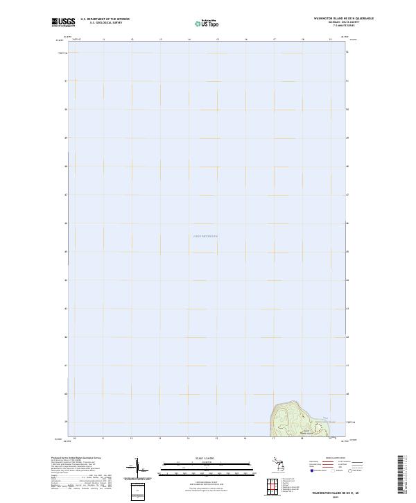 2023 Washington Island NE OE N2023 Print · USGSDelta County's maritime boundary comes into focus in this recent survey of the northern Green Bay waters. Researchers can trace the shoreline and elevation of Saint Martin Island and the navigable depths of the Saint Martin Island Passage.
 - 2023 Map of Nahma, 2023 Print
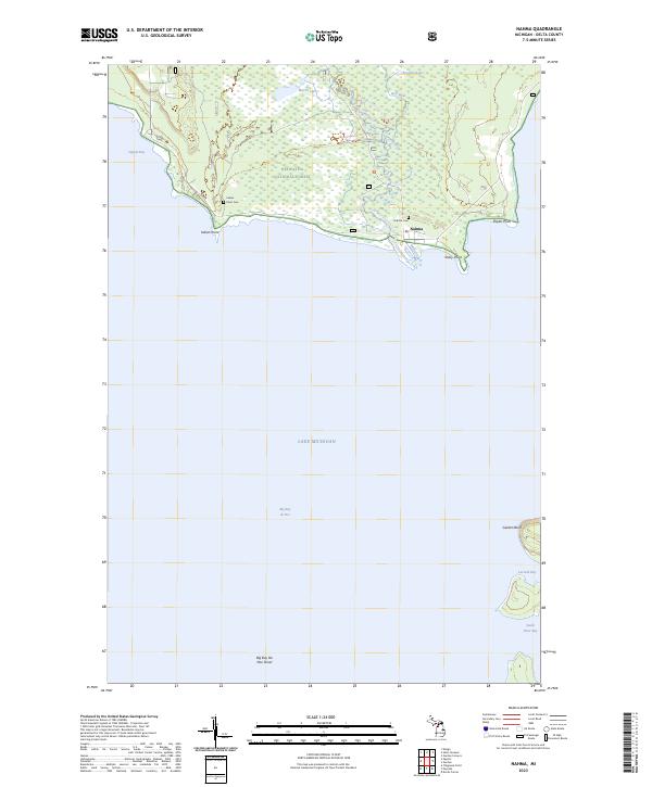 2023 Nahma2023 Print · USGSNahma and the Sturgeon River mouth are captured in this modern survey of the Big Bay de Noc shoreline. Researchers can trace the coastal geography of the Hiawatha National Forest and locate historical sites like Indian Point Cem and Nahma Cem.
 - 2023 Map of Garden, 2023 Print
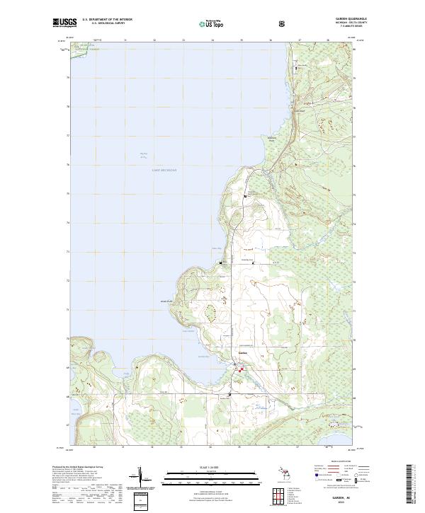 2023 Garden2023 Print · USGSThe Garden Peninsula comes to life in this modern survey of Delta County, showing the intersection of coastal life and the northern forest. Researchers can trace family history through numerous burial sites like Kates Bay Cem and New Garden Cem near Garden Bay.
 - 2023 Map of Devils Corner, 2023 Print
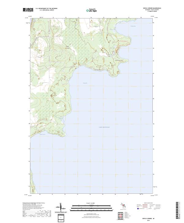 2023 Devils Corner2023 Print · USGSThe Delta County coast at the Garden Peninsula is revealed in this modern survey of the Lake Michigan shoreline. Researchers can trace the winding Ninga Aki Pathway Trl and identify coastal landmarks like Charboneau Point and the quiet waters of Gillnet Haven.
 - 2023 Map of Point Detour, 2023 Print
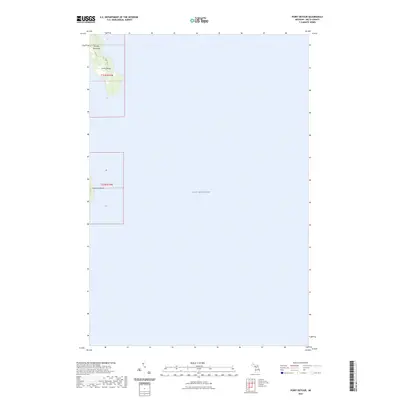 2023 Point Detour2023 Print · USGSThe southern tip of the Garden Peninsula meets the open waters of Lake Michigan in this coastal survey. Genealogists and maritime historians can trace the shoreline at Point Detour and the isolated geography of Summer Island.
 - 2023 Map of Fayette, 2023 Print
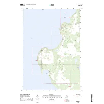 2023 Fayette2023 Print · USGSThe western shore of the Garden Peninsula in the early twenty-first century reveals a landscape defined by dramatic bluffs and historic maritime settlements. Researchers can locate family heritage sites at Saint Peters Cem and Sac Bay Cem or trace the preserved townsite at Fayette.
 - 2023 Map of Fairport OE S, 2023 Print
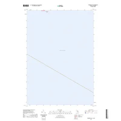 2023 Fairport OE S2023 Print · USGSIn the northern waters of Lake Michigan during the early 2020s, this chart shows the boundary of the Green Bay maritime passage. Researchers can locate the isolated Little Gull Island and trace the survey lines of T36N R20W across the open water.
End of results
Showing maps 1-9 of 9
Top cities near Fairbanks Township
Top neighborhoods of Fairbanks Township
- Devils Corner historical maps
- Fayette historical maps
- Sac Bay historical maps
- Fairport historical maps
- Middle class neighborhood historical maps
Frequently asked questions
- What are the different types of historical maps available for Fairbanks Township?
- What is the oldest map of Fairbanks Township?
- Where can I purchase historical maps of Fairbanks Township for my home or office?
- Where can I download high-res historical maps of Fairbanks Township?
- Are there historical topographic maps available for Fairbanks Township?
- Is there historical aerial imagery available for Fairbanks Township?
- Where are historical maps of Fairbanks Township sourced from?