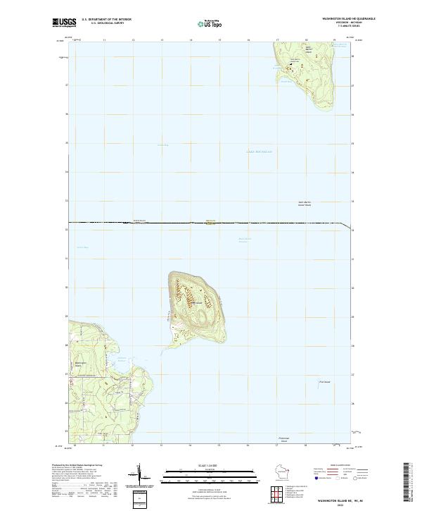
2022 Map of Washington Island NE
USGS Topo · Published 2022About this map
Saint Martin Island and Rock Island stand as isolated outposts in the waters where Green Bay meets Lake Michigan. This 2022 survey documents the northern tip of Washington Island, specifically the area surrounding Jackson Harbor and the quiet wetlands of Little Marsh. The map reveals the intricate maritime geography of the Door County archipelago, tracing the deep channels of Saint Martin Island Passage and Rock Island Passage that have long guided vessels through these island chains. On Saint Martin Island, the presence of the Saint Martin Island Cem serves as a lone marker of local genealogy and past settlement amidst the surrounding Saint Martin Island Shoals. The interior of the islands is marked by contemporary road networks like Indian Point Rd and Gunnlaugsson Rd, alongside dedicated water trails for modern coastal exploration.
Find a feature on this map
35 named features on this map. Tap any name to fly to it.
Don’t see what you’re looking for? This feature index may not catch every label — zoom into the map to look around manually.
Map Details
Editions of this 2022 Washington Island NE Map
This is the sole edition of this map. No revisions or reprints were ever made.
Other maps of this area

1932 · Burnt Bluff SW
USGS Topo · 1:31,680

1954 · Escanaba
USGS Topo · 1:250,000

1957 · Escanaba
USGS Topo · 1:250,000

1958 · Escanaba
USGS Topo · 1:250,000

1958 · Peninsula Point
USGS Topo · 1:62,500

1958 · Fairport
USGS Topo · 1:62,500

1960 · Washington Island
USGS Topo · 1:62,500

1982 · Washington Island SE
USGS Topo · 1:24,000

1982 · Washington Island NW
USGS Topo · 1:24,000

1982 · Washington Island NE
USGS Topo · 1:24,000