Old Maps of Vienna Charter Township, Michigan for Genealogy
Trace your family roots with 22 historic maps of Vienna Charter Township. These high-res maps reveal old neighborhoods, homesites, landmarks, and streets — helping you uncover where your ancestors lived and how the area evolved over time.
- Explore historic neighborhoods: Identify where your relatives may have lived in the 1800s or 1900s.
- Compare maps over time: Trace the changes in streets, buildings, and landmarks for multi-generational research.
- Perfect for genealogy & ancestry research: Used by family historians and researchers to map out lineage and migration.
These maps are an incredible resource for exploring your personal connection to Vienna Charter Township's past.
Vienna Charter Township, MI maps
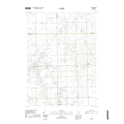
(22)- 1919 Map of Burt, 1959 Print
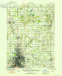
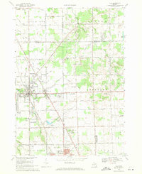
 1919 Burt1959 Print · USGSThe rural landscape between Saginaw and Flint is captured here in the years following the Great War. Genealogists can locate dozens of country schoolhouses like Marr School and Deneen School, or trace the path of the Michigan United Electric Railway.
 - 1920 Map of Flint
 1920 Flint1920 Print · USGSFlint and the surrounding Genesee County townships appear in this post-war survey during a period of intense industrial and civic growth. Genealogists and historians can trace numerous rural school sites like Beecher School and major rail lines including the Pere Marquette.2 unique versions available
 - 1921 Map of Burt
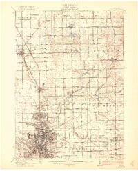
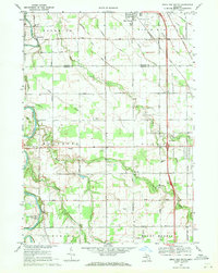
 1921 Burt1921 Print · USGSSaginaw and Genesee Counties are captured here at the end of the Great War, showing a landscape of tight-knit farming communities and early electric transit. Researchers can trace family roots through dozens of named sites like St Michaels Church, Marr School, and the Michigan Electric Railway.2 unique versions available
 - 1922 Map of Flint
 1922 Flint1922 Print · USGSGenesee County comes to life in the early twenties, showing the industrial rise of the vehicle city alongside its rural townships. Researchers can trace family sites near Gracelawn Cemetery or locate old schoolhouses like Boutwell School and Holden School.3 unique versions available
 - 1943 Map of Burt
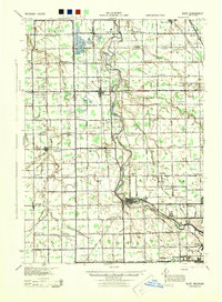 1943 Burt1943 Print · USGSThe rural borders of Saginaw and Genesee counties come alive in the 1940s as the Flint River winds past growing farm towns. Genealogists and historians can trace dozens of family-named schoolhouses and crossroads, from St Michaels Ch to the rail hubs of Burt and Montrose.
 - 1943 Map of Flint, 1944 Print
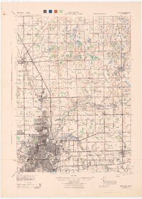 1943 Flint1944 Print · USGSGenesee County and the city of Flint appear in transition during the mid-forties, balancing a booming urban core with a sprawling network of rural township schools. Genealogists and local historians can trace hundreds of property sites near Kearsley Res or locate early academic landmarks like Wildcat Sch and Hopkins Sch.
 - 1954 Map of Flint, 1968 Print
 1954 Flint1968 Print · USGSThe industrial corridor and fertile Thumb region of Michigan come alive in this mid-century survey. Genealogists and historians can trace the rail networks of the Grand Trunk, locate established settlements like Bad Axe and Sandusky, or explore the 1950s shoreline along Saginaw Bay.4 unique versions available
 - 1958 Map of Flint
 1958 Flint1958 Print · USGSThe Michigan Thumb and the Saginaw Valley are captured here during the height of the post-war industrial era. Researchers can trace the complex rail networks of the Grand Trunk Western or locate mid-century landmarks like Lakeport State Park and the port at Bay City.2 unique versions available
 - 1969 Map of Clio, 1971 Print
 1969 Clio1971 Print · USGSGenesee County and the outskirts of Flint are shown here in the late sixties, where the legacy of rail and road travel meets. Trace local roots through Woodlawn Cem and Clio, or find landmarks like the Auto City Speedway and Bethel Chapel.2 unique versions available
 - 1969 Map of Birch Run South, 1971 Print
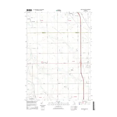
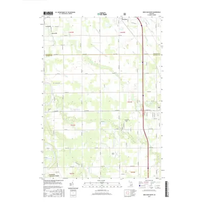
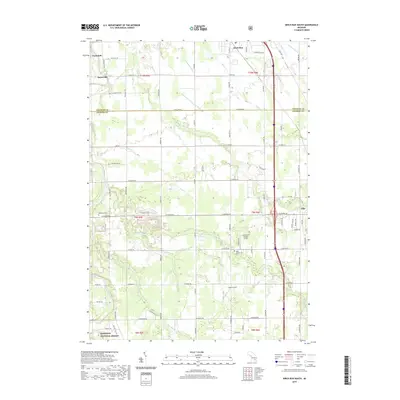
 1969 Birch Run South1971 Print · USGSThe rural borders of Saginaw and Genesee counties come into focus in the late sixties as agricultural lands meet growing townships. Researchers can trace family history through landmarks like Indian Cem, Taymouth Ch, and the Edgerton Sch near the Flint River.2 unique versions available
 - 1984 Map of Flint, 1985 Print
 1984 Flint1985 Print · USGSThe industrial corridor between Flint and Saginaw is captured here during the mid-1980s, showcasing a landscape of growing suburbs and preserved wildlands. Researchers can trace the Grand Trunk Western RR or locate local landmarks like St Johns Ch and Flint Memorial Park Cem.
 - 1990 Map of Flint, 1991 Print
 1990 Flint1991 Print · USGSThe Flint and Saginaw corridors are captured here in the early nineties, showing a landscape defined by heavy industry and rural expanses. Genealogists and historians can trace the rail lines of the Penn Central RR, visit Flint Memorial Park Cem, or explore the limits of Zilwaukee.
 - 2011 Map of Clio, 2011 Print
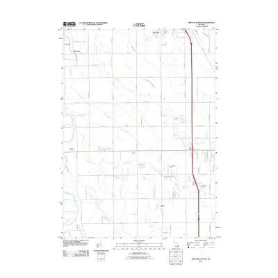
 2011 Clio2011 Print · USGSCovers Vienna Charter Township, including Mount Morris, Clio, and other nearby areas
 - 2011 Map of Birch Run South, 2011 Print
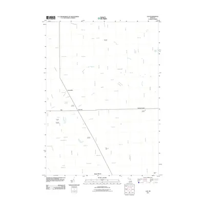
 2011 Birch Run South2011 Print · USGSCovers Vienna Charter Township, including Taymouth, Clio, and other nearby areas
 - 2014 Map of Birch Run South, 2014 Print
 2014 Birch Run South2014 Print · USGSCovers Vienna Charter Township, including Taymouth, Clio, and other nearby areas
 - 2014 Map of Clio, 2014 Print
 2014 Clio2014 Print · USGSCovers Vienna Charter Township, including Mount Morris, Clio, and other nearby areas
 - 2017 Map of Clio, 2017 Print
 2017 Clio2017 Print · USGSCovers Vienna Charter Township, including Mount Morris, Clio, and other nearby areas
 - 2017 Map of Birch Run South, 2017 Print
 2017 Birch Run South2017 Print · USGSCovers Vienna Charter Township, including Taymouth, Clio, and other nearby areas
 - 2019 Map of Clio, 2019 Print
 2019 Clio2019 Print · USGSCovers Vienna Charter Township, including Mount Morris, Clio, and other nearby areas
 - 2019 Map of Birch Run South, 2019 Print
 2019 Birch Run South2019 Print · USGSCovers Vienna Charter Township, including Taymouth, Clio, and other nearby areas
 - 2023 Map of Clio, 2023 Print
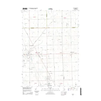
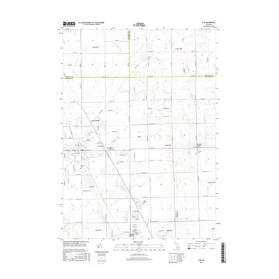
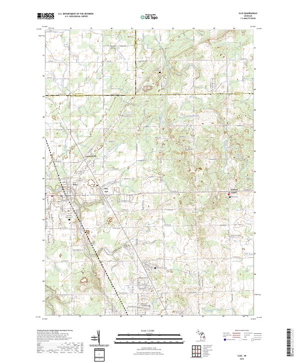 2023 Clio2023 Print · USGSThe northern Genesee County landscape is shown here in its modern form, centered on the city of Clio and its neighboring villages. Local researchers can trace family landmarks and early settlements like Pine Run, Farrandville, and Thetford Center.
 - 2023 Map of Birch Run South, 2023 Print
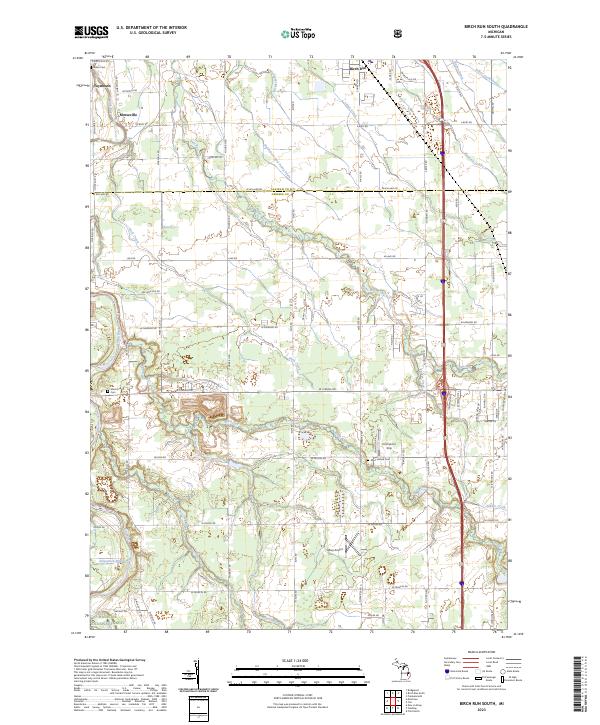 2023 Birch Run South2023 Print · USGSSaginaw and Genesee counties appear in this recent survey of the rural landscape surrounding Birch Run. Genealogists and local historians can locate early burial grounds like Indian Cem and West Vienna Cem, as well as the paths of Pine Run and the Flint River.
End of results
Showing maps 1-22 of 22
Top cities near Vienna Charter Township
- Flint historical maps
- Saginaw historical maps
- Burton historical maps
- Flushing historical maps
- Swartz Creek historical maps
- Davison historical maps
See more
Top neighborhoods of Vienna Charter Township
Frequently asked questions
- What are the different types of historical maps available for Vienna Charter Township?
- What is the oldest map of Vienna Charter Township?
- Where can I purchase historical maps of Vienna Charter Township for my home or office?
- Where can I download high-res historical maps of Vienna Charter Township?
- Are there historical topographic maps available for Vienna Charter Township?
- Is there historical aerial imagery available for Vienna Charter Township?
- Where are historical maps of Vienna Charter Township sourced from?