2023 Map of Clio
USGS Topo · Published 2023About this map
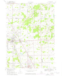
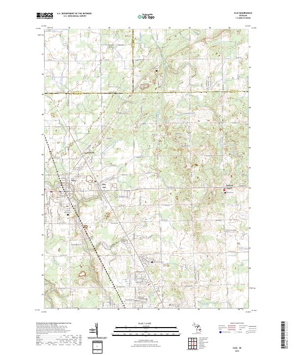
The city of Clio serves as the primary hub of this 2023 survey, situated along the southern reaches of the Silver Creek drainage. The map reveals a landscape defined by its agricultural heritage and structured drainage systems, evidenced by numerous named waterways like Runnels Drain and Bogart Drain that cross the county lines between Genesee, Saginaw, and Tuscola. Smaller historic settlements like Pine Run and Farrandville are clearly marked, showing the persistent footprint of 19th-century village centers even as suburban expansion from the south begins to influence the road networks. Local genealogy and history are anchored by several notable burial sites, including Woodlawn Memorial Cem and Pine Run Cem, while larger community landmarks like Flint Memorial Park and Thetford Center provide significant cultural points of interest for those researching the regional development of the thumb area.
Find a feature on this map
56 named features on this map. Tap any name to fly to it.
Don’t see what you’re looking for? This feature index may not catch every label — zoom into the map to look around manually.
Map Details
Editions of this 2023 Clio Map
This is the sole edition of this map. No revisions or reprints were ever made.