2000s (21st Century) Maps of Beaverton, Michigan
Explore 15 historic maps of Beaverton from the 2000s (21st Century). These maps offer a rare glimpse into what life looked like during the 2000s — showing old roads, neighborhoods, homes, and landmarks that have changed or disappeared over time.
Whether you're researching your family's past, planning a metal detecting trip, or studying how Beaverton's landscape evolved across the 2000s, these high-resolution maps are a powerful tool for exploring the history of this region.
- Focus on a specific era: All maps on this page are from the 2000s, giving you a focused view of this time period.
- See what’s changed: Compare century-old streets, trails, and buildings to today's modern landscape using overlays and satellite layers.
- Research with precision: Use these maps for genealogy, historical research, land use analysis, or educational projects.
- View, download, or print: Maps are fully viewable online in high resolution, and can be downloaded or printed for your own records.
Start exploring Beaverton's history through authentic maps from the 2000s. This is your window into the past.
Beaverton, MI maps
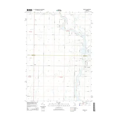
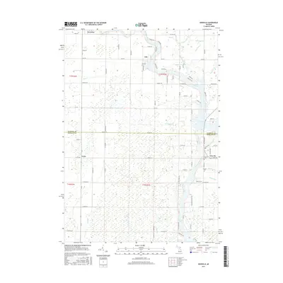
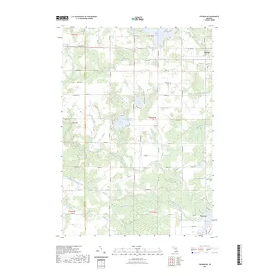
(15)- 2011 Map of Gladwin, 2011 Print
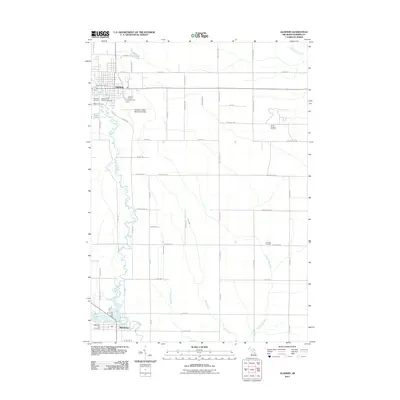 2011 Gladwin2011 Print · USGSCovers Beaverton, including Gladwin, Sage Township, and other nearby areas
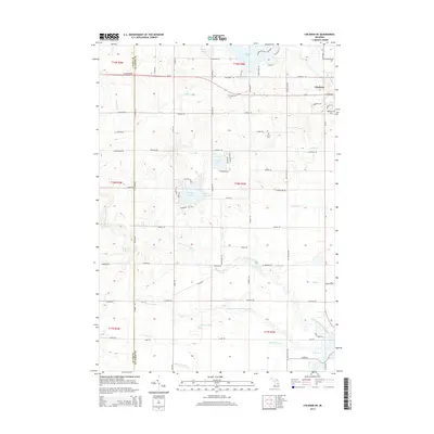
 - 2011 Map of Coleman NE, 2011 Print
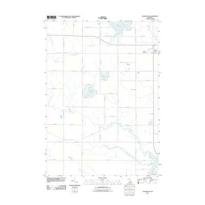 2011 Coleman NE2011 Print · USGSCovers Beaverton, including Gladwin, Sheridan Township, and other nearby areas
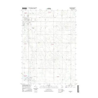
 - 2011 Map of Edenville, 2011 Print
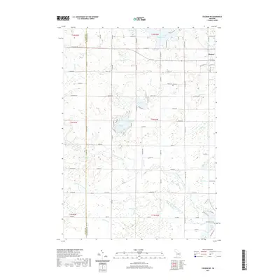
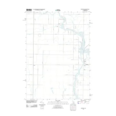 2011 Edenville2011 Print · USGSCovers Beaverton, including Edenville, Edenville Township, and other nearby areas
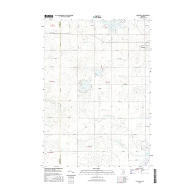
 - 2014 Map of Gladwin, 2014 Print
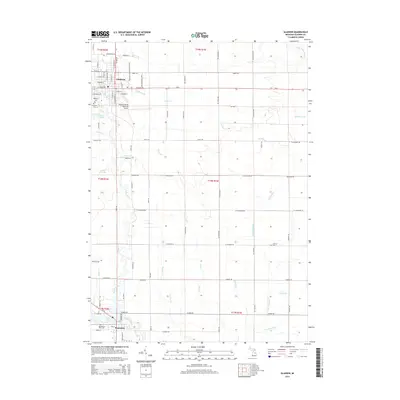 2014 Gladwin2014 Print · USGSCovers Beaverton, including Gladwin, Sage Township, and other nearby areas
 - 2014 Map of Edenville, 2014 Print
 2014 Edenville2014 Print · USGSCovers Beaverton, including Edenville, Edenville Township, and other nearby areas
 - 2014 Map of Coleman NE, 2014 Print
 2014 Coleman NE2014 Print · USGSCovers Beaverton, including Gladwin, Sheridan Township, and other nearby areas
 - 2017 Map of Gladwin, 2017 Print
 2017 Gladwin2017 Print · USGSCovers Beaverton, including Gladwin, Sage Township, and other nearby areas
 - 2017 Map of Coleman NE, 2017 Print
 2017 Coleman NE2017 Print · USGSCovers Beaverton, including Gladwin, Sheridan Township, and other nearby areas
 - 2017 Map of Edenville, 2017 Print
 2017 Edenville2017 Print · USGSCovers Beaverton, including Edenville, Edenville Township, and other nearby areas
 - 2019 Map of Edenville, 2019 Print
 2019 Edenville2019 Print · USGSCovers Beaverton, including Edenville, Edenville Township, and other nearby areas
 - 2019 Map of Coleman NE, 2019 Print
 2019 Coleman NE2019 Print · USGSCovers Beaverton, including Gladwin, Sheridan Township, and other nearby areas
 - 2019 Map of Gladwin, 2019 Print
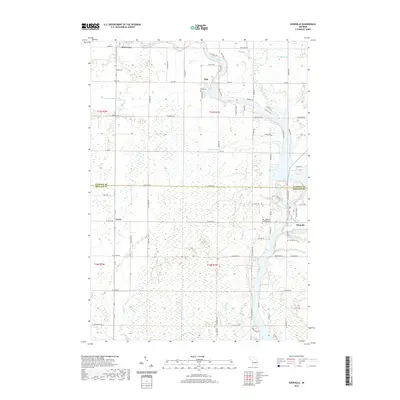
 2019 Gladwin2019 Print · USGSCovers Beaverton, including Gladwin, Sage Township, and other nearby areas
 - 2023 Map of Edenville, 2023 Print
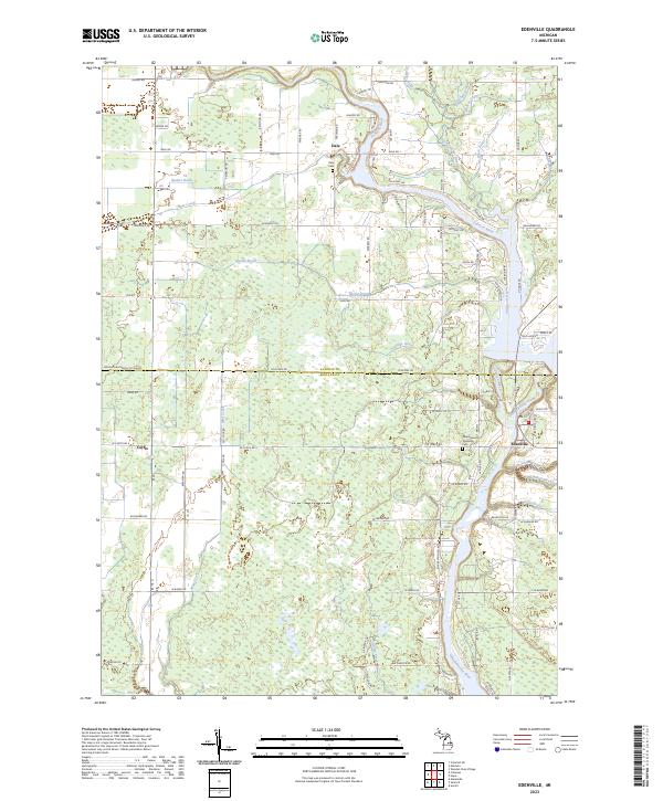 2023 Edenville2023 Print · USGSThe river confluence at Edenville and the surrounding rural landscapes of Midland and Gladwin counties are shown in high detail. Researchers can trace family roots at the New Edenville Township Cem and Dale Cem or follow the paths of the Tobacco River and Mud Creek.
 - 2023 Map of Gladwin, 2023 Print
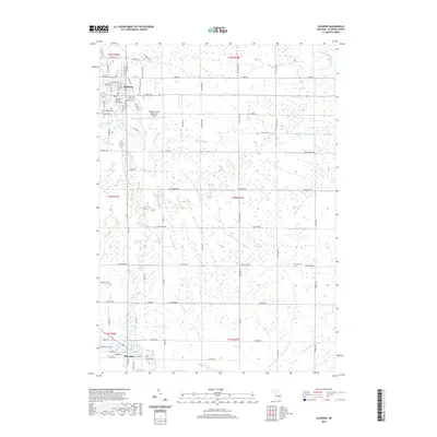
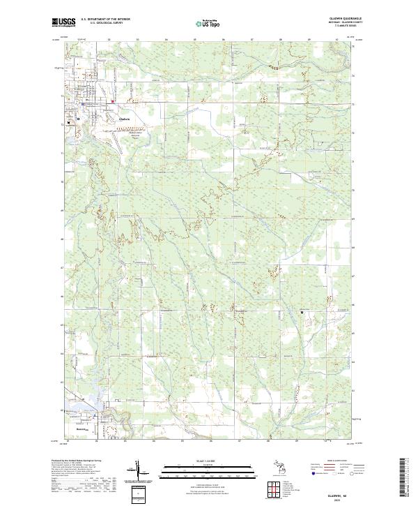 2023 Gladwin2023 Print · USGSThe Gladwin area in the early 2020s shows a landscape deeply connected by the Cedar and Tobacco Rivers. Local historians can trace cemetery locations like Arbutus Cem, the grounds of the Gladwin County Courthouse, and the layout of Beaverton.
 - 2023 Map of Coleman NE, 2023 Print
 2023 Coleman NE2023 Print · USGSGladwin and Beaverton are captured here in the early twenty-first century, showcasing a landscape defined by the Tobacco River system. Genealogists and local historians can trace family roots near Grout Cem or follow the legacy of the old Railroad Grade.
End of results
Showing maps 1-15 of 15
Top cities near Beaverton
- Midland historical maps
- Gladwin historical maps
- Billings historical maps
- Edenville historical maps
- Wise historical maps
- Hope historical maps
See more
Frequently asked questions
- What are the different types of historical maps available for Beaverton?
- What is the oldest map of Beaverton?
- Where can I purchase historical maps of Beaverton for my home or office?
- Where can I download high-res historical maps of Beaverton?
- Are there historical topographic maps available for Beaverton?
- Is there historical aerial imagery available for Beaverton?
- Where are historical maps of Beaverton sourced from?