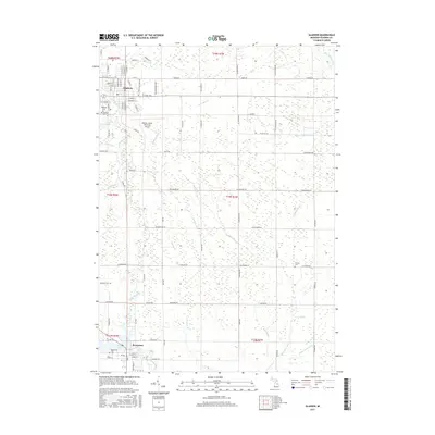
2017 Map of Gladwin
USGS Topo · Published 2017About this map
The Cedar River and its numerous tributaries, such as Pete Drain and Venison Cr, define the rural geography of this Gladwin County landscape. The city of Gladwin serves as the northern anchor, where local history is preserved at Highland Cem and Gladwin Cem, while the Gladwin Zettel Memorial Airport marks the transition into more modern infrastructure. To the south, the city of Beaverton sits at the edge of Ross Lake where the Tobacco River and Cedar River converge. This 2017 survey reveals a highly organized township-and-range grid system, where long-standing family farm access is maintained through an extensive network of drainage channels like Van-Horn-Drain and Graham Drain, which have managed the low-lying terrain for generations.
Find a feature on this map
96 named features on this map. Tap any name to fly to it.
Don’t see what you’re looking for? This feature index may not catch every label — zoom into the map to look around manually.
Map Details
Editions of this 2017 Gladwin Map
This is the sole edition of this map. No revisions or reprints were ever made.
Other maps of this area
1954 · Traverse City
USGS Topo · 1:250,000
1954 · Midland
USGS Topo · 1:250,000
1958 · Traverse City
USGS Topo · 1:250,000
1958 · Midland
USGS Topo · 1:250,000
1959 · Midland
USGS Topo · 1:250,000
1966 · Midland
USGS Topo · 1:250,000
1969 · Wagarville
USGS Topo · 1:24,000
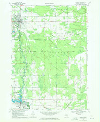
1969 · Gladwin
USGS Topo · 1:24,000
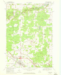
1969 · Coleman
USGS Topo · 1:24,000
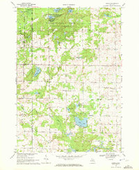
1969 · Skeels
USGS Topo · 1:24,000