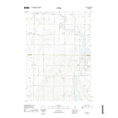
2019 Map of Edenville
USGS Topo · Published 2019About this map
The confluence of the Tobacco River and the Tittabawassee River defines the landscape of this mid-Michigan region, where Wixom Lake serves as a central hydrological feature. This 2019 survey captures the area as it straddles the boundary between Gladwin and Midland counties, documenting established settlements from Beaverton in the northwest to Edenville in the southeast. The map reveals a transition from the structured residential clusters of Dale and Curtis to the more open, wetland-influenced terrain characterized by drainage systems like Nestor Drain and Coolidge Drain.
Find a feature on this map
87 named features on this map. Tap any name to fly to it.
Don’t see what you’re looking for? This feature index may not catch every label — zoom into the map to look around manually.
Map Details
Editions of this 2019 Edenville Map
This is the sole edition of this map. No revisions or reprints were ever made.
Other maps of this area

1930 · Shepherd
USGS Topo · 1:48,000

1934 · Sanford
USGS Topo · 1:62,500

1936 · Shepherd
USGS Topo · 1:62,500

1936 · Sanford
USGS Topo · 1:62,500

1954 · Midland
USGS Topo · 1:250,000

1958 · Midland
USGS Topo · 1:250,000

1959 · Midland
USGS Topo · 1:250,000

1966 · Midland
USGS Topo · 1:250,000

1969 · Gladwin
USGS Topo · 1:24,000

1969 · Coleman
USGS Topo · 1:24,000