Old Maps of Hay Township, Michigan for Metal Detecting
Plan your next treasure hunt with 11 historic maps of Hay Township. Find old homesites, ghost towns, trails, and gathering spots that may be lost to time — perfect for identifying promising metal detecting locations.
- Locate forgotten sites: Uncover places like long-lost settlements, abandoned rail lines, or gathering spots.
- Plan better hunts: Use map overlays combined with LiDAR or satellite views to narrow in on historically rich areas.
- Made for detectorists: Thousands of hobbyists use these maps to discover relics, coins, and hidden history.
Use these historic maps to boost your research and find new opportunities beneath the surface of Hay Township.
Hay Township, MI maps
(11)- 1954 Map of Midland, 1967 Print
 1954 Midland1967 Print · USGSMid-Michigan at the peak of the post-war era shows a landscape balancing industrial growth in Midland with the deep timberlands of the Manistee National Forest. Researchers can trace the legacy of the timber and rail era along the Pennsylvania RR or find family roots in river towns like Chesaning and Big Rapids.4 unique versions available
 - 1958 Map of Midland
 1958 Midland1958 Print · USGSCentral Michigan in the late fifties is captured here during a period of transition for its university towns and industrial hubs. Genealogists and researchers can trace family lines through old rail-stop towns like Breckenridge and Chesaning or locate property near the Muskegon River and Prairie Farm.
 - 1959 Map of Midland
 1959 Midland1959 Print · USGSMid-century Michigan comes alive in this survey of the central Lower Peninsula, from the streets of Grand Rapids to the Houghton Lake timberlands. Genealogists and rail fans can trace the Ann Arbor RR and Chesapeake and Ohio RR through towns like Big Rapids and Mount Pleasant.
 - 1966 Map of Midland
 1966 Midland1966 Print · USGSCentral Michigan in the mid-1960s shows a landscape of growing manufacturing hubs and active resource extraction. Genealogists and historians can trace the rail corridors of the Grand Trunk Western or locate family-named landmarks near Oil wells and the Muskegon River.
 - 1969 Map of Wooden Shoe Village, 1972 Print
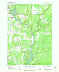 1969 Wooden Shoe Village1972 Print · USGSGladwin County's river-driven landscape comes into focus during the late 1960s as these timber and oil territories transitioned into forest and recreational lands. Genealogists and historians can trace industrial sites like Buckeye Oil Field and small settlements like Wooden Shoe Village and Highwood.
 - 1984 Map of Midland, 1985 Print
 1984 Midland1985 Print · USGSMid-Michigan's industrial and forest lands come into focus in the mid-eighties, centered on the growing hubs of Midland and Mount Pleasant. Genealogists and historians can trace the Chesapeake and Ohio rail corridor through small towns like Rosebush and Edenville.2 unique versions available
 - 2011 Map of Wooden Shoe Village, 2011 Print
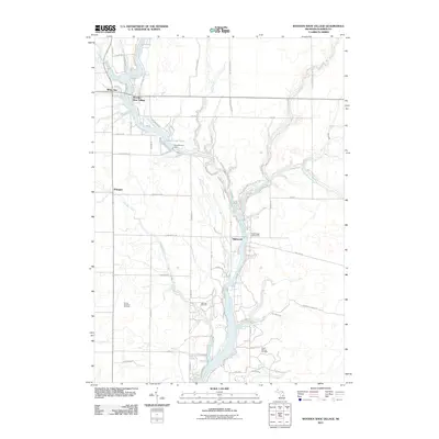 2011 Wooden Shoe Village2011 Print · USGSGladwin County's river-fed interior is captured here in the early twenty-first century, showing a landscape defined by the Tittabawassee River and energy production. Researchers can locate specific sites within the South Buckeye Oil Field or trace the development of residential lakeside communities like Wooden Shoe Village and White Star.
 - 2014 Map of Wooden Shoe Village, 2014 Print
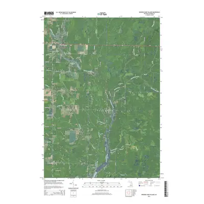 2014 Wooden Shoe Village2014 Print · USGSGladwin County's river-fed landscapes are captured here in the early twenty-first century as the Tittabawassee River winds through central Michigan. Genealogists and local historians can locate small settlements like Winegars and White Star or trace the many branches of Smallwood Lake.
 - 2017 Map of Wooden Shoe Village, 2017 Print
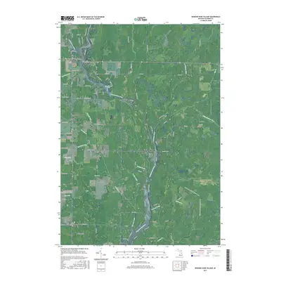 2017 Wooden Shoe Village2017 Print · USGSGladwin County's river-fed landscapes come into focus in this recent survey of the Tittabawassee basin. Genealogists and local historians can trace the lakeside developments of Wooden Shoe Village and White Star, or the rural surroundings of Winegars and Highwood.
 - 2019 Map of Wooden Shoe Village, 2019 Print
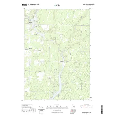 2019 Wooden Shoe Village2019 Print · USGSGladwin County's river valleys and rural crossroads are captured here in the late twenty-teens. Researchers can trace local landmarks like Wooden Shoe Village and Highwood or follow the route of the Midland to Mackinaw Boy Scout Trail across the Molasses River.
 - 2023 Map of Wooden Shoe Village, 2023 Print
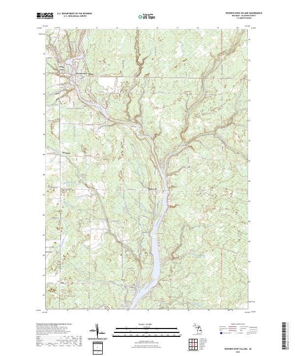 2023 Wooden Shoe Village2023 Print · USGSGladwin County, Michigan, is shown in this recent survey during a period of modern rural development along the Tittabawassee River. Researchers can trace the riverfront communities of Wooden Shoe Village and Highwood or locate the historic Midland to Mackinaw Boy Scout Trl.
End of results
Showing maps 1-11 of 11
Top cities near Hay Township
- Gladwin historical maps
- Billings historical maps
- Edenville historical maps
- Butman historical maps
- Mount Forest historical maps
- Edwards historical maps
See more
Top neighborhoods of Hay Township
Frequently asked questions
- What are the different types of historical maps available for Hay Township?
- What is the oldest map of Hay Township?
- Where can I purchase historical maps of Hay Township for my home or office?
- Where can I download high-res historical maps of Hay Township?
- Are there historical topographic maps available for Hay Township?
- Is there historical aerial imagery available for Hay Township?
- Where are historical maps of Hay Township sourced from?