2020s Maps of Bessemer Township, Michigan
Explore 8 historic maps of Bessemer Township from the 2020s. These maps offer a rare glimpse into what life looked like during the 2020s — showing old roads, neighborhoods, homes, and landmarks that have changed or disappeared over time.
Whether you're researching your family's past, planning a metal detecting trip, or studying how Bessemer Township's landscape evolved across the 2020s, these high-resolution maps are a powerful tool for exploring the history of this region.
- Focus on a specific era: All maps on this page are from the 2020s, giving you a focused view of this time period.
- See what’s changed: Compare century-old streets, trails, and buildings to today's modern landscape using overlays and satellite layers.
- Research with precision: Use these maps for genealogy, historical research, land use analysis, or educational projects.
- View, download, or print: Maps are fully viewable online in high resolution, and can be downloaded or printed for your own records.
Start exploring Bessemer Township's history through authentic maps from the 2020s. This is your window into the past.
Bessemer Township, MI maps
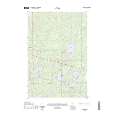
(8)- 2022 Map of Harris Lake, 2022 Print
 2022 Harris Lake2022 Print · USGSThe Northwoods along the Wisconsin-Michigan border are documented here in their modern state, centered on the protected wilderness of the Ottawa National Forest. Researchers and outdoorsmen can trace remote access points along Fisher Rd and identify the numerous glacial basins like Harris Lake and Twin Pups Lakes.
 - 2023 Map of Stateline Lake, 2023 Print
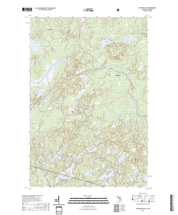 2023 Stateline Lake2023 Print · USGSThe Michigan-Wisconsin borderlands come alive in this survey of the Ottawa National Forest and Stateline Lake. Local historians can trace the roads around Marenisco or find the Shanty Boy Hill Cem near the state line.
 - 2023 Map of Wakefield NE, 2023 Print
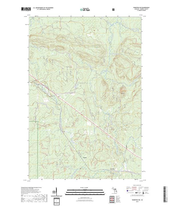 2023 Wakefield NE2023 Print · USGSGogebic County's Northwoods are surveyed here in the early twenty-first century, showing the intersection of heavy timberlands and early settlement traces. Genealogists and hikers can trace the areas around Hartley and Dunham, or locate landmarks like Wolf Mtn and the old Morgan Mine Rd.
 - 2023 Map of Chaney Lake, 2023 Print
 2023 Chaney Lake2023 Print · USGSThe Michigan-Wisconsin borderlands near Chaney Lake are captured here in a period of quiet, lake-studded seclusion. Genealogists and local historians can trace legacy logging routes like Mosinee Grade Rd and find remote points like Camp Twelve Lake.
 - 2023 Map of Thomaston, 2023 Print
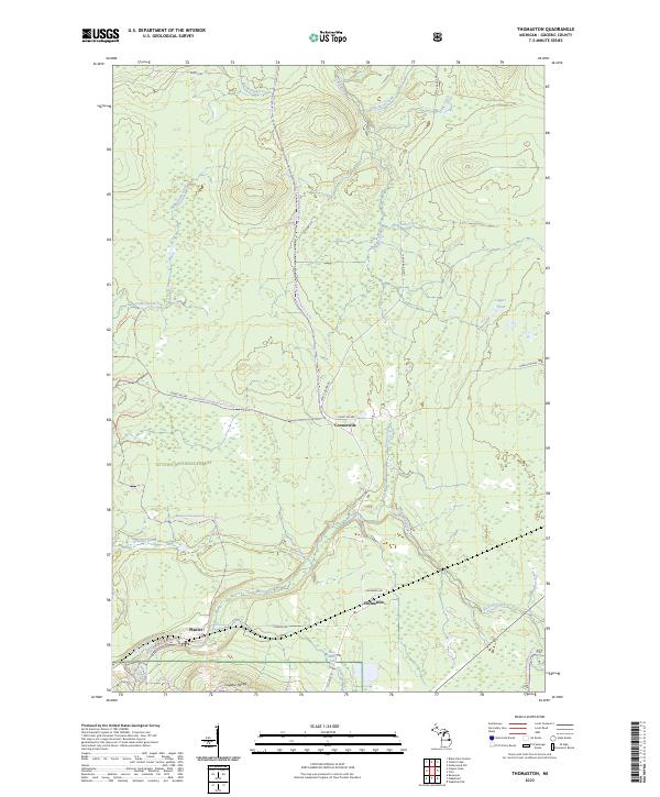 2023 Thomaston2023 Print · USGSGogebic County’s high ridges and deep woods are mapped here in the modern era, showing the quiet settlements of Thomaston and Connorville. Local researchers can trace old routes like Planter Rd and locate landmarks like Gabro Falls or the Gogebic Range.
 - 2023 Map of Copper Peak, 2023 Print
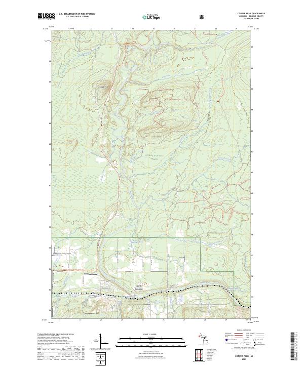 2023 Copper Peak2023 Print · USGSGogebic County's high-relief terrain comes into focus in this recent survey of the area around North Bessemer. Researchers can trace the wild course of the Black Wild and Scenic River and locate landmarks like Copper Peak, Algonquin Falls, and Auvinen Corner.
 - 2023 Map of Wakefield, 2023 Print
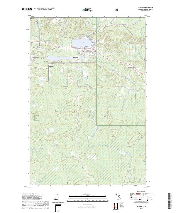 2023 Wakefield2023 Print · USGSThe Gogebic Range in the early 2020s remains defined by its mining heritage and the expansive timberlands of the Ottawa National Forest. Researchers can trace the layout of mining-era settlements like Wakefield, Ramsay, and Plymouth alongside the shores of Sunday Lake.
 - 2023 Map of Bessemer, 2023 Print
 2023 Bessemer2023 Print · USGSBessemer and the mining towns of the Gogebic Range are captured in this contemporary look at Michigan’s Upper Peninsula. Trace the residential layouts of Yale and Anvil or follow the transition of historic transport routes into the Ironwood to Bessemer State Trl.
End of results
Showing maps 1-8 of 8
Top cities near Bessemer Township
- Ironwood historical maps
- Wakefield historical maps
- Bessemer historical maps
- Mercer historical maps
- Boulder Junction historical maps
- Presque Isle historical maps
See more
Top neighborhoods of Bessemer Township
Frequently asked questions
- What are the different types of historical maps available for Bessemer Township?
- What is the oldest map of Bessemer Township?
- Where can I purchase historical maps of Bessemer Township for my home or office?
- Where can I download high-res historical maps of Bessemer Township?
- Are there historical topographic maps available for Bessemer Township?
- Is there historical aerial imagery available for Bessemer Township?
- Where are historical maps of Bessemer Township sourced from?