Old Maps of Erwin Township, Michigan
Explore 48 old maps of Erwin Township, spanning from 1943 to today. These high-resolution historic maps reveal how streets, neighborhoods, landmarks, and natural features evolved over time — perfect for genealogy, metal detecting, research, and local history exploration.
What you can do with these maps:
- See how Erwin Township changed over time: Compare historical maps to modern-day views to trace roads, homesites, rail lines & more.
- View detailed metadata: Each map includes creators, publishers, year, scale, and archive source.
- Overlay maps with satellite & LiDAR: Visualize the past alongside modern tools to explore terrain & human change.
- Trusted historical sources: Maps sourced from the USGS, Library of Congress, and other archives.
- Access maps your way: View online, download high-res files, or order prints for personal or research use.
Start exploring old maps of Erwin Township to uncover forgotten places, hidden landmarks, and the deep history beneath your feet.
Erwin Township, MI maps
(48)- 1943 Map of Ironwood
 1943 Ironwood1943 Print · USGSThe border country between Wisconsin and Michigan comes alive in this wartime survey of the iron range and timberlands. Researchers can trace early rural life through vanished sites like the Mosinee Lumber Camp, the Chicago and Northwestern Line, and local hubs like Buskirk.2 unique versions available
 - 1953 Map of Ashland, 1964 Print
 1953 Ashland1964 Print · USGSNorthern Wisconsin's lakefront and timberlands are seen here in the mid-1950s, showing the intersection of industrial rail lines and vast wilderness. Genealogists and historians can trace the Soo Line through rail towns like Mellen or locate family roots in the Apostle Islands and Bad River Indian Reservation.3 unique versions available
 - 1955 Map of Ironwood, 1957 Print
 1955 Ironwood1957 Print · USGSIronwood and Hurley stand at the center of the Gogebic Range during the mid-fifties, where Michigan mining meets Wisconsin timber. Genealogists can locate family homes near Sleight Sch, trace the Cary Mine operations, or find rural landmarks like the Finnish Ch and Van Buskirk.5 unique versions available
 - 1955 Map of Bessemer, 1957 Print
 1955 Bessemer1957 Print · USGSIronwood's industrial outskirts and the Gogebic Range mines are at their mid-century peak here in the mid-1950s. Genealogists and researchers can trace the neighborhoods of Anvil, Yale, and Ramsay alongside local landmarks like Washington Sch and the Old Tilden Mine.2 unique versions available
 - 1955 Map of Wakefield, 1957 Print
 1955 Wakefield1957 Print · USGSWakefield and the iron-rich Gogebic Range are shown here during the mid-1950s as mining operations shaped the landscape. Genealogists and industrial historians can trace the neighborhoods around Sunday Lake, find the Lakeside Cem, and locate mines like the Sunday Lake Mine.2 unique versions available
 - 1955 Map of Wakefield, 1957 Print
 1955 Wakefield1957 Print · USGSThe iron country of the Upper Peninsula is frozen in time during the mid-fifties, showing the industrial core of the Gogebic Range. Genealogists and historians can trace the early layout of Wakefield and its surrounding mining hubs like Ramsay and Verona before the landscape of the Sunday Lake Mine was further altered.3 unique versions available
 - 1955 Map of Ironwood, 1961 Print
 1955 Ironwood1961 Print · USGSThe Gogebic Range iron district comes to life in this mid-century study of the Michigan-Wisconsin borderlands. Trace the industrial rail networks and mines like Newport Mine alongside the Finnish Ch and vanished local schools.2 unique versions available
 - 1958 Map of Ashland
 1958 Ashland1958 Print · USGSCoastal Wisconsin and the Michigan borderlands meet here in the late fifties, dominated by the timbered expanses and iron-rich ranges. Genealogists can trace family footprints in settlements like Odanah and Montreal, or locate landmarks such as the Coast Guard Station and Agricultural Experiment Station.
 - 1958 Map of Iron River, 1968 Print
 1958 Iron River1968 Print · USGSThe Upper Peninsula in the late fifties is captured here as a landscape of timber, iron, and rail. Genealogists and historians can trace rail stops like Mass Station or explore the coastlines of Lake Gogebic and Keweenaw Bay.3 unique versions available
 - 1960 Map of Iron River
 1960 Iron River1960 Print · USGSThe Upper Peninsula’s western reaches are shown in the late fifties, featuring the industrial infrastructure of the Copper Country and the vast Ottawa National Forest. Researchers can trace the rail lines of the Milwaukee Road through settlements like Bruce Crossing and the White Pine Mine.
 - 1961 Map of Iron River
 1961 Iron River1961 Print · USGSThe Upper Peninsula and northern Wisconsin are shown here in the early 1960s, a landscape defined by the iron range and vast timberlands. Researchers can trace the legacy of mining and rail transport through Caspian, the Lac Du Flambeau Indian Reservation, and the Milwaukee Road.
 - 1967 Map of Iron River, 1968 Print
 1967 Iron River1968 Print · USGSThe Upper Peninsula and northern Wisconsin borderlands are shown here in the late sixties, a landscape of deep woods and iron-country rail lines. Genealogists and historians can trace the lakeside settlements of L'Anse and Ontonagon or follow the Soo Line through towns like Michigamme and Nestoria.
 - 1973 Map of Lake Evelyn, 1976 Print
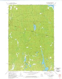 1973 Lake Evelyn1976 Print · USGSThe Michigan-Wisconsin borderlands in the early 1970s reveal a landscape shaped by the logging industry and conservation efforts. Researchers can trace defunct timber routes along several Old Railroad Grades or locate family landmarks like the Pine Lake Lookout Tower and Lake Evelyn.
 - 1973 Map of Pine Lake, 1977 Print
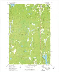 1973 Pine Lake1977 Print · USGSIron County, Wisconsin, in the 1970s was a landscape of dense woods, industrial rail, and quiet lakefront settlements. Genealogists and historians can trace the paths of the Chicago and North Western and the Old Railroad Grade near Sandrock and Oma.
 - 1980 Map of Ironwood
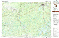 1980 Ironwood1980 Print · USGSThe Michigan-Wisconsin borderlands appear in the late twentieth century as a landscape defined by iron mining and deep forests. Researchers can trace the rail-and-river economy through the Soo Line and Chicago and North Western tracks connecting Mellen, Glidden, and Hurley.
 - 1982 Map of Chaney Lake, 1983 Print
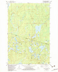 1982 Chaney Lake1983 Print · USGSThe Michigan-Wisconsin borderlands appear here in the early 1980s, centered on the complex lake systems of Gogebic County and Vilas County. Researchers can trace the Old Railroad Grade through the hamlet of Chaney or locate landmarks like the Trostel Lookout Tower.
 - 1990 Map of Wakefield
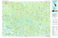 1990 Wakefield1990 Print · USGSThe Michigan-Wisconsin borderlands are captured here in the late twentieth century, showing the transition from an industrial rail-and-timber hub to a recreation-focused landscape. Trace the Chicago & North Western RR through Marenisco or locate landmarks like Agate Falls and Wakefield.
 - 1999 Map of Wakefield, 2004 Print
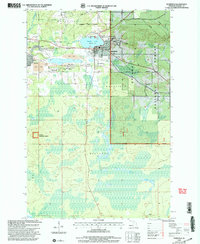 1999 Wakefield2004 Print · USGSThe Upper Peninsula mining and forest lands of Gogebic County are shown here at the turn of the millennium. Researchers can trace the industrial footprint of the Sunday Lake Mine and locate civic landmarks like City Hall and Lakeside Cem.
 - 2011 Map of Lake Evelyn, 2011 Print
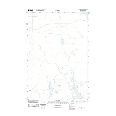 2011 Lake Evelyn2011 Print · USGSThe Wisconsin-Michigan border country is shown here in the early twenty-first century as a dense landscape of glacial lakes and timber. Trace forest access routes like Moser Rd to find the Pine Lake Lookout Tower, Lake Evelyn, and Lake Dorothy.
 - 2011 Map of Ironwood, 2011 Print
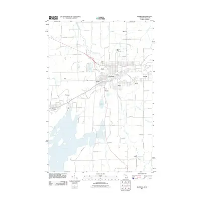 2011 Ironwood2011 Print · USGSThe Michigan-Wisconsin border comes alive in the early twenty-first century as the Montreal River winds past mining-era settlements and recreational hubs. Researchers can trace family ties at Riverside Cemetery or explore the geography of Gile, Montreal, and Hurley.
 - 2011 Map of Wakefield, 2011 Print
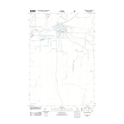 2011 Wakefield2011 Print · USGSWakefield and the surrounding Gogebic County highlands are captured here in the early twenty-first century, centered on the waters of Sunday Lake. Researchers can trace old neighborhood layouts and civic sites like Lakeside Cemetery, the Ramsay Post Office, and the Verona Lookout Tower.
 - 2011 Map of Chaney Lake, 2011 Print
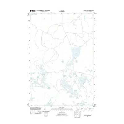 2011 Chaney Lake2011 Print · USGSThe Michigan-Wisconsin borderlands appear here as a dense network of timber-era grades and glacial waters in the early twenty-first century. Researchers can locate the Trostel Lookout Tower or trace the old paths of Mosinee Grade Rd and Zeckovich Grade Rd.
 - 2011 Map of Bessemer, 2011 Print
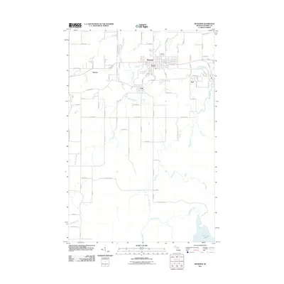 2011 Bessemer2011 Print · USGSGogebic County's mining and timber heritage is centered around Bessemer and the nearby settlements of Yale and Anvil in the early twenty-first century. Genealogists and historians can trace local landmarks like Hillcrest Cemetery, Granite Falls, and the course of the Black River.
 - 2011 Map of Pine Lake, 2011 Print
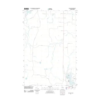 2011 Pine Lake2011 Print · USGSUpper Wisconsin’s lake country and the Montreal River system are documented here in the early twenty-first century. Researchers can locate family-named landmarks like W Lahti Rd, the Pine Lake Lookout Tower, and islands such as Anchor Island.
 - 2013 Map of Lake Evelyn, 2013 Print
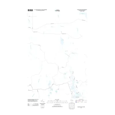 2013 Lake Evelyn2013 Print · USGSThe Wisconsin-Michigan borderlands in the early 21st century are mapped here in detail, showing the lake-heavy terrain of Iron County. Researchers can locate specific water bodies like Lake Evelyn and Barrel Spring Lake, or trace the winding course of the Montreal River and the legacy of the Pine Lake Lookout Tower.
Showing maps 1-25 of 48
Top cities near Erwin Township
- Ironwood historical maps
- Wakefield historical maps
- Bessemer historical maps
- Mercer historical maps
- Hurley historical maps
- Montreal historical maps
See more
Frequently asked questions
- What are the different types of historical maps available for Erwin Township?
- What is the oldest map of Erwin Township?
- Where can I purchase historical maps of Erwin Township for my home or office?
- Where can I download high-res historical maps of Erwin Township?
- Are there historical topographic maps available for Erwin Township?
- Is there historical aerial imagery available for Erwin Township?
- Where are historical maps of Erwin Township sourced from?