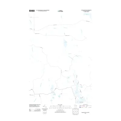
2013 Map of Lake Evelyn
USGS Topo · Published 2013About this map
Lake Evelyn and the surrounding Northwoods landscape of Iron County define this 2013 survey of the Wisconsin-Michigan border. The terrain is characterized by a dense network of glacial lakes and watercourses, including Black River Lake, Long Lake, and American Lake. The Montreal River serves as a prominent natural boundary in the western portion of the quadrangle, while the Black River and its tributary, the South Fork Black River, flow through the central region.
Find a feature on this map
35 named features on this map. Tap any name to fly to it.
Don’t see what you’re looking for? This feature index may not catch every label — zoom into the map to look around manually.
Map Details
Editions of this 2013 Lake Evelyn Map
This is the sole edition of this map. No revisions or reprints were ever made.
Other maps of this area

1939 · Winchester
USGS Topo · 1:48,000

1940 · Mercer
USGS Topo · 1:48,000

1943 · Ironwood
USGS Topo · 1:48,000

1945 · Mercer
USGS Topo · 1:48,000

1946 · Winchester
USGS Topo · 1:48,000

1947 · Mercer
USGS Topo · 1:48,000

1953 · Ashland
USGS Topo · 1:250,000

1955 · Mercer
USGS Topo · 1:62,500

1955 · Ironwood
USGS Topo · 1:24,000

1955 · Winchester
USGS Topo · 1:62,500