Old Maps of Wright Township, Michigan for Academic Research
Study the evolution of Wright Township with 30 high-resolution historic maps. Whether you're teaching, researching, or modeling changes in land use, these maps provide essential visual documentation of urban, environmental, and geographic change.
- Analyze long-term change: Track patterns in development, transportation, and natural features.
- Ideal for environmental or urban studies: Support academic projects with primary historical map data.
- Use in the classroom or lab: Educators and researchers rely on these maps to bring historical context to life.
These maps are a powerful tool for teaching, research, and visualizing how Wright Township has changed over the decades.
Wright Township, MI maps
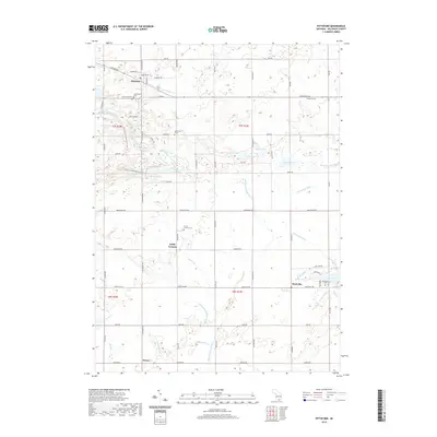
(30)- 1913 Map of Alvordton
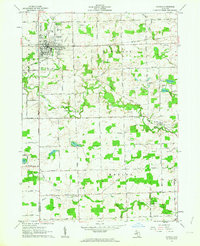
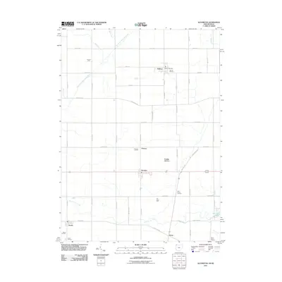
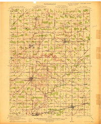 1913 Alvordton1913 Print · USGSThe rural borderlands of Ohio and Michigan are captured here just after the turn of the century, showing a landscape of burgeoning rail junctions and tight-knit farming townships. Researchers can trace the heritage of vanished school districts and country houses of worship like Gray Church and the Mennonite Church near Archbold.3 unique versions available
 - 1944 Map of Alvordton
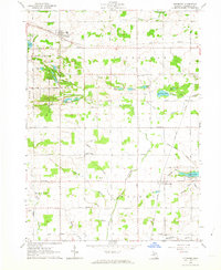
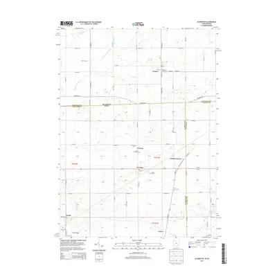
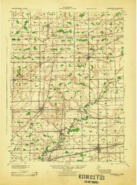 1944 Alvordton1944 Print · USGSSpanning the Michigan and Ohio border in the 1940s, this area shows a landscape of busy rail junctions and rural school districts. Genealogists can trace family roots through sites like Gray Church, Virginia School, or the settlements of Fayette and West Unity.
 - 1953 Map of Fort Wayne, 1963 Print
 1953 Fort Wayne1963 Print · USGSNortheast Indiana and its neighboring borderlands in Michigan and Ohio appear here during a peak era of rail and road expansion. Researchers can trace the massive rail networks of the Nickel Plate Road and Wabash or locate lakeside landmarks like Lake Wawasee and Clear Lake.4 unique versions available
 - 1956 Map of Fort Wayne
 1956 Fort Wayne1956 Print · USGSThe tri-state borderlands of Indiana, Michigan, and Ohio are captured here in the mid-fifties, centered on the growing industrial hub of Fort Wayne. Researchers can trace the heavy rail lines of the New York Central and Pennsylvania alongside prominent water features like Lake Wawasee and the Maumee River.2 unique versions available
 - 1960 Map of Fayette, 1961 Print
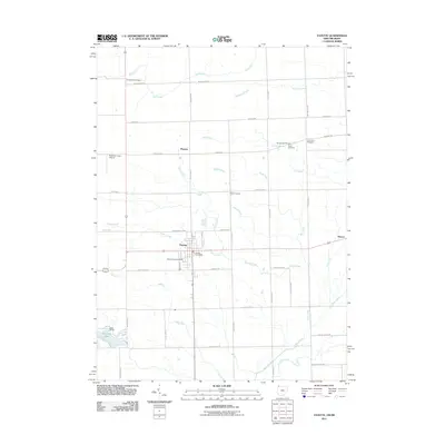
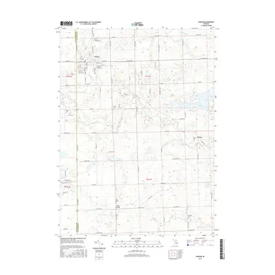
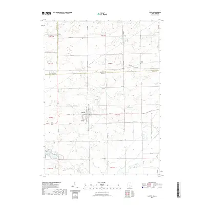
 1960 Fayette1961 Print · USGSThe borderlands of Fulton County and Michigan come into focus in this 1960s survey of Fayette. Family historians can trace local landmarks like Snow Cem, the grounds of Camp Palmer, and the rural crossroads of Munson and Powers.4 unique versions available
 - 1961 Map of Alvordton, 1963 Print
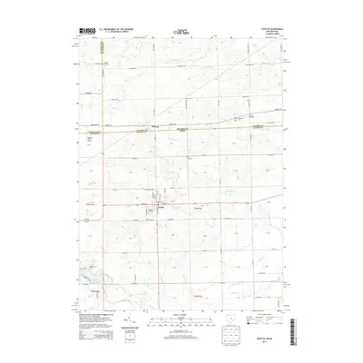
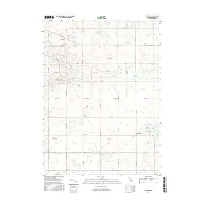
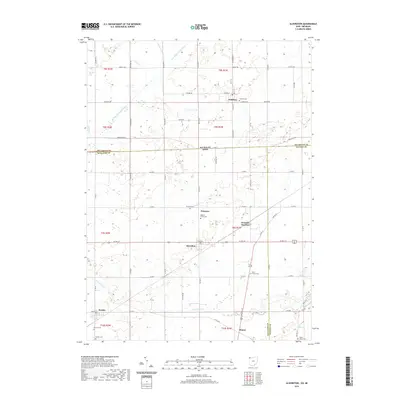
 1961 Alvordton1963 Print · USGSCrossing the Michigan-Ohio border in the early sixties, this area reveals a network of small rail towns and rural parishes. Researchers can trace family history at Walnut Grove Cem, locate the former Franklin Junction rail stop, or explore the grounds of Harrison Lake State Reservation.2 unique versions available
 - 1962 Map of Hudson, 1963 Print
 1962 Hudson1963 Print · USGSHudson and its surrounding townships thrive in the early sixties as a center of rail commerce and agriculture along the New York Central line. Genealogists and local historians can locate many family landmarks, from the Whitney Cem and Brown Cem to the early rural settlements of Medina and Prattville.3 unique versions available
 - 1962 Map of Pittsford, 1963 Print
 1962 Pittsford1963 Print · USGSHillsdale County agriculture and small-town life are preserved here in the early sixties, centered on the New York Central rail line. Local researchers can trace family roots through landmarks like Leonardson Cem, South Pittsford Ch, and Prattville Sch.
 - 1985 Map of Adrian
 1985 Adrian1985 Print · USGSThe tri-state borderlands of Michigan, Indiana, and Ohio were well-established by the mid-1980s, characterized by a dense network of glacial lakes and agricultural rail hubs. Genealogists and historians can trace rail lines like the Norfolk and Western Railway and locate landmarks such as the Old Indian Treaty Cem or Riverside Cem.
 - 1990 Map of Adrian, 1991 Print
 1990 Adrian1991 Print · USGSThe Michigan and Ohio borderlands come alive in the final decade of the twentieth century, showing the intricate network of glacial lakes and small-town junctions. Genealogists and local researchers can pinpoint family landmarks from Lakeview Cem to the rail sidings of the Conrail and Norfolk Southern lines.
 - 2011 Map of Hudson, 2011 Print
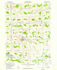
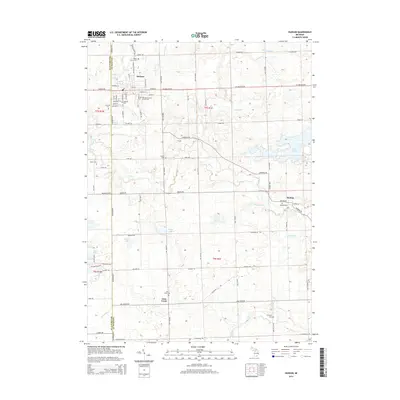
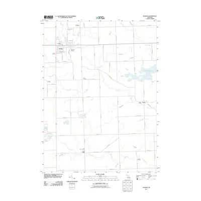 2011 Hudson2011 Print · USGSCovers Wright Township, including Hudson, Medina, and other nearby areas
 - 2011 Map of Pittsford, 2011 Print
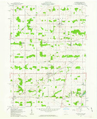
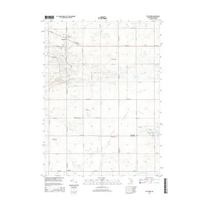
 2011 Pittsford2011 Print · USGSCovers Wright Township, including Pittsford, Pittsford Township, and other nearby areas
 - 2011 Map of Fayette, 2011 Print
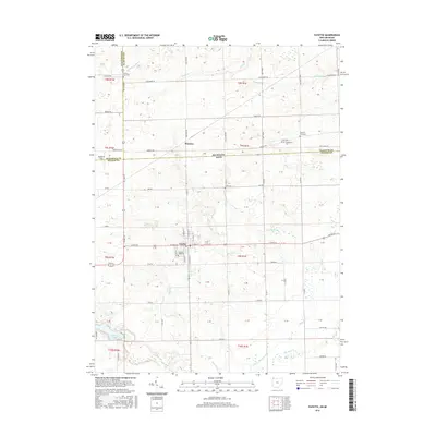
 2011 Fayette2011 Print · USGSCovers Wright Township, including Fayette, Medina Township, and other nearby areas
 - 2011 Map of Alvordton, 2011 Print
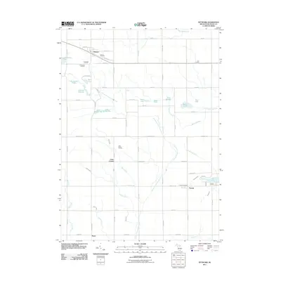
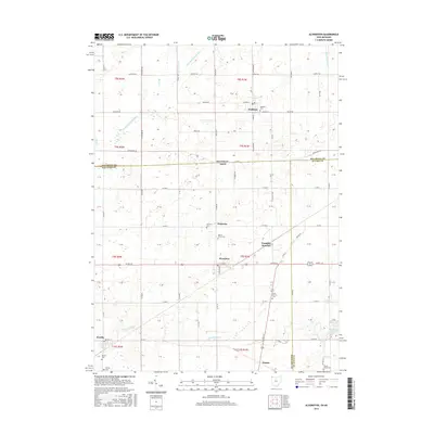
 2011 Alvordton2011 Print · USGSCovers Wright Township, including Waldron, Alvordton, and other nearby areas
 - 2013 Map of Alvordton, 2013 Print
 2013 Alvordton2013 Print · USGSCovers Wright Township, including Waldron, Alvordton, and other nearby areas
 - 2013 Map of Fayette, 2013 Print
 2013 Fayette2013 Print · USGSCovers Wright Township, including Fayette, Medina Township, and other nearby areas
 - 2014 Map of Hudson, 2014 Print
 2014 Hudson2014 Print · USGSCovers Wright Township, including Hudson, Medina, and other nearby areas
 - 2014 Map of Pittsford, 2014 Print
 2014 Pittsford2014 Print · USGSCovers Wright Township, including Pittsford, Pittsford Township, and other nearby areas
 - 2016 Map of Fayette, 2016 Print
 2016 Fayette2016 Print · USGSCovers Wright Township, including Fayette, Medina Township, and other nearby areas
 - 2016 Map of Alvordton, 2016 Print
 2016 Alvordton2016 Print · USGSCovers Wright Township, including Waldron, Alvordton, and other nearby areas
 - 2017 Map of Hudson, 2017 Print
 2017 Hudson2017 Print · USGSCovers Wright Township, including Hudson, Medina, and other nearby areas
 - 2017 Map of Pittsford, 2017 Print
 2017 Pittsford2017 Print · USGSCovers Wright Township, including Pittsford, Pittsford Township, and other nearby areas
 - 2019 Map of Fayette, 2019 Print
 2019 Fayette2019 Print · USGSCovers Wright Township, including Fayette, Medina Township, and other nearby areas
 - 2019 Map of Alvordton, 2019 Print
 2019 Alvordton2019 Print · USGSCovers Wright Township, including Waldron, Alvordton, and other nearby areas
 - 2019 Map of Pittsford, 2019 Print
 2019 Pittsford2019 Print · USGSCovers Wright Township, including Pittsford, Pittsford Township, and other nearby areas
Showing maps 1-25 of 30
Top cities near Wright Township
- Hillsdale historical maps
- Archbold historical maps
- Montpelier historical maps
- Rollin historical maps
- Rollin Township historical maps
- Hudson historical maps
See more
Top neighborhoods of Wright Township
- Betzer historical maps
- Prattville historical maps
- Lickly Corners historical maps
- Waldron historical maps
Frequently asked questions
- What are the different types of historical maps available for Wright Township?
- What is the oldest map of Wright Township?
- Where can I purchase historical maps of Wright Township for my home or office?
- Where can I download high-res historical maps of Wright Township?
- Are there historical topographic maps available for Wright Township?
- Is there historical aerial imagery available for Wright Township?
- Where are historical maps of Wright Township sourced from?