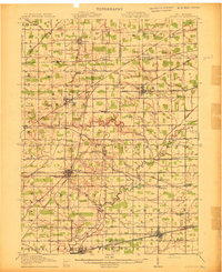
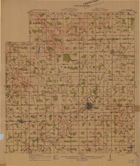
1913 Map of Alvordton
USGS Topo · Published 1913About this map
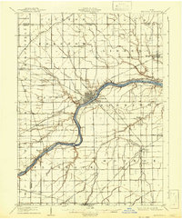
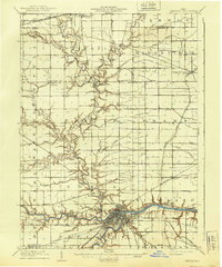
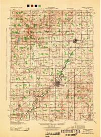
Alvordton and West Unity serve as central hubs in this early 20th-century landscape, where a dense network of steam and electric railways once connected the borderlands of Ohio and Michigan. The map illustrates a highly organized rural society, with numbered school districts such as School No 10 and School No 1 appearing in nearly every square mile of the grid. Significant transport infrastructure is evident, with the Wabash RR and the Cincinnati Northern RR intersecting at Alvordton, while the Toledo and Western RR runs eastward through Fayette. The natural drainage of the Tiffin River and Bean Creek meanders through the plains, often skirted by smaller settlements like Lockport and Burlington. For genealogists, the map is particularly rich in religious landmarks, showing multiple locations for the Mennonite Church and the solitary Gray Church.
Find a feature on this map
85 named features on this map. Tap any name to fly to it.
Don’t see what you’re looking for? This feature index may not catch every label — zoom into the map to look around manually.
Map Details
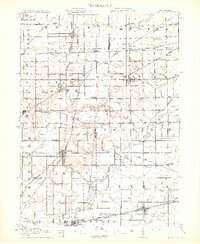
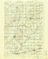
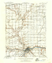
Editions of this 1913 Alvordton Map
3 editions found
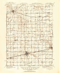
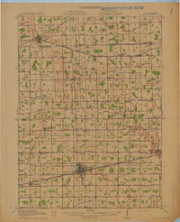
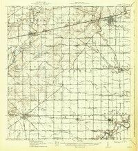
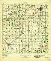
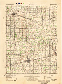
Other maps of this area
1907 · Defiance
USGS Topo · 1:62,500
1908 · Napoleon
USGS Topo · 1:62,500
1909 · Defiance
USGS Topo · 1:62,500
1911 · Wauseon
USGS Topo · 1:62,500
1913 · Wauseon
USGS Topo · 1:62,500
1914 · Pioneer
USGS Topo · 1:62,500
1914 · Bryan
USGS Topo · 1:62,500
1943 · Bryan
USGS Topo · 1:62,500
1943 · Wauseon
USGS Topo · 1:62,500
1944 · Pioneer
USGS Topo · 1:62,500
Featured Places
- Archbold, OH
- West Unity, Brady Township
- Stryker, Springfield Township
- Fayette, OH
- Waldron, Wright Township