Old Maps of Locke Township, Michigan for Hiking & Exploration
Hike through history with 37 historic maps of Locke Township. Explore old trails, ghost towns, and forgotten backroads — perfect for outdoor adventurers and local explorers.
- Rediscover forgotten places: Map out old mining camps, roads, and footpaths that no longer exist on modern maps.
- Layer with modern tools: Combine with LiDAR or satellite views to plan hikes through historical terrain.
- Made for exploration: Popular among hikers, overlanders, and local history lovers.
Use these maps to find adventure and explore the hidden past of Locke Township.
Locke Township, MI maps
(37)- 1908 Map of Fowlerville, 1962 Print
 1908 Fowlerville1962 Print · USGSAgricultural life in Livingston and Ingham counties is documented here in the early twentieth century, centered on the Pere Marquette RR. Trace family roots through an extensive network of rural schools like Podunk School and small crossroads such as Belle Oak and Vantown.2 unique versions available
 - 1909 Map of Mason, 1965 Print
 1909 Mason1965 Print · USGSIngham County at the turn of the century shows a landscape defined by the intersection of major rail lines and a dense network of one-room schoolhouses. Genealogists can trace early landmarks like Haslett, Dansville, and numerous family-named schools like Akers School or Kipp School.
 - 1910 Map of Fowlerville
 1910 Fowlerville1910 Print · USGSBefore the age of consolidated schools and modern highways, this 1910 survey shows the rural landscape of Ingham and Livingston counties at its peak. Researchers can trace dozens of country schoolhouses like Podunk School and Hogback School alongside the path of the Pere Marquette RR.2 unique versions available
 - 1911 Map of Mason
 1911 Mason1911 Print · USGSIngham County at the start of the twentieth century shows a landscape of busy rail junctions and rural school districts. Genealogists can trace family roots through dozens of named country schools like White Dog School and Marble School, or locate ancestral property near Mason and Dansville.3 unique versions available
 - 1926 Map of Corunna, 1958 Print
 1926 Corunna1958 Print · USGSShiawassee County in the mid-twenties shows a landscape of busy rail junctions and productive farmland. Genealogists can trace family roots through numerous rural schools like Eddy Sch and settlements including Bancroft and Shiawasseetown.2 unique versions available
 - 1928 Map of Laingsburg
 1928 Laingsburg1928 Print · USGSCentral Michigan in the late twenties shows a landscape of busy rural school districts and multiple rail lines connecting the tri-county area. Local historians can trace family locations near Octagon Sch, Reed Church, and the tracks of the Michigan Electric Railway.5 unique versions available
 - 1929 Map of Corunna
 1929 Corunna1929 Print · USGSShiawassee County thrives as a rail and industrial hub during the late twenties, centered on the growing cities of Owosso and Corunna. Genealogists can trace family roots through dozens of rural landmarks like Bennington No 1 School, Shiawasseetown, and the Electric Railway route.3 unique versions available
 - 1944 Map of Laingsburg
 1944 Laingsburg1944 Print · USGSMid-Michigan farm country and wetlands are captured here just after the war, centered on the rail hub of Laingsburg. Researchers can trace nineteenth-century school districts like Octagon Sch and find family plots at South Ovid Cem or Stilson Cem.
 - 1944 Map of Corunna
 1944 Corunna1944 Print · USGSMid-Michigan farming and industry converge in the 1940s as major rail lines like the Ann Arbor and Grand Trunk link the countryside. Researchers can trace dozens of rural school sites, from Octagon Sch to Hawkins Sch, alongside the waters of the Shiawassee River.
 - 1958 Map of Grand Rapids, 1973 Print
 1958 Grand Rapids1973 Print · USGSSouthern Michigan at the peak of the postwar era shows a landscape of burgeoning cities and new interstate highways. Trace family roots and regional growth in Grand Rapids, Battle Creek, and the glacial lake country around Gun Lake or Gull Lake.2 unique versions available
 - 1961 Map of Grand Rapids
 1961 Grand Rapids1961 Print · USGSSouthern Michigan at the dawn of the 1960s reveals a region shaped by major river systems and a robust rail network. Trace mid-century industrial growth and land use from Grand Rapids to the Fort Custer Military Reservation and Gun Lake.
 - 1962 Map of Grand Rapids
 1962 Grand Rapids1962 Print · USGSMid-century Southern Michigan is mapped here at a time of massive growth, showing the expanding urban footprints of Grand Rapids and Lansing. Researchers can trace the legacy of the Grand Trunk Western RR, find historic boundaries of the Fort Custer Military Reservation, or locate sporting camps around Gun Lake.2 unique versions available
 - 1970 Map of Williamston, 1973 Print
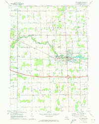 1970 Williamston1973 Print · USGSIn the early 1970s, Williamston flourished along the Red Cedar River as a hub for central Michigan agriculture and transit. Local researchers can trace family roots at Mt Calvary Cem or follow the historic rail line of the Chesapeake and Ohio.
 - 1972 Map of Shaftsburg, 1974 Print
 1972 Shaftsburg1974 Print · USGSShiawassee County's rural character is preserved here in the early seventies, centered on the village of Shaftsburg. Researchers can trace family roots at Oak Plain Cem, locate the Perry Sch, or follow the Grand Trunk Western rail line.
 - 1972 Map of Perry, 1975 Print
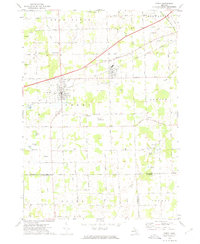 1972 Perry1975 Print · USGSMid-century Perry and Morrice are captured here as the Grand Trunk Western railroad defines the local industry. Researchers can trace family roots through Roselawn Cem or locate the private Dysinger Landing Strip.
 - 1973 Map of Webberville, 1977 Print
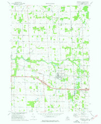 1973 Webberville1977 Print · USGSAgricultural life in Ingham County during the early seventies centers on Webberville and its vital rail and road links. Genealogists can locate several historic burial grounds including Rowley Cem and Judd Cem alongside the Red Cedar River.
 - 1983 Map of Lansing, 1984 Print
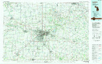 1983 Lansing1984 Print · USGSThe Lansing area and its surrounding river valleys are captured here in the early eighties. Genealogists and historians can trace the rail corridors of the Conrail or locate local landmarks like St Johns Ch and Greenwood Cem.
 - 2011 Map of Williamston, 2011 Print
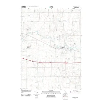 2011 Williamston2011 Print · USGSMid-Michigan's river-valley communities and rural cemeteries are detailed here in the early twenty-first century. Researchers can trace land use around Williamston or locate family burial sites at Saint Katherine's Episcopal Cemetery and Cabot Cemetery.
 - 2011 Map of Perry, 2011 Print
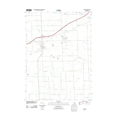 2011 Perry2011 Print · USGSPerry and Morrice anchor this rural Michigan landscape in the early twenty-first century, showing a well-developed grid of local roads and community centers. Genealogists can trace family locations through several burial sites like Roselawn and Howard Cemetery, or find the Dysinger Airport and Glenbrier Golf Course among the fields.
 - 2011 Map of Webberville, 2011 Print
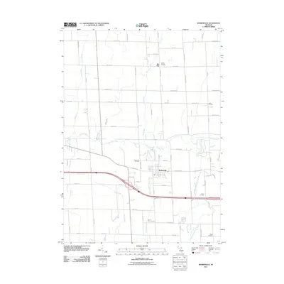 2011 Webberville2011 Print · USGSHandy Township and the village of Webberville are shown here during the early twenty-first century as a landscape of established farms and rural cemeteries. Researchers can locate several historical burial grounds, such as Miller Cemetery and Briggs Cemetery, or trace the winding course of the Red Cedar River.
 - 2011 Map of Shaftsburg, 2011 Print
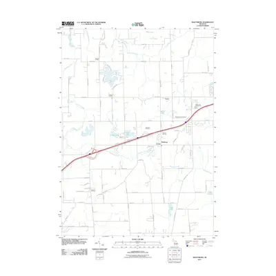 2011 Shaftsburg2011 Print · USGSThe community of Shaftsburg and its surrounding wetlands are shown in detail as they appeared in the early 21st century. Genealogists can locate several local burial sites like Oak Plain Cemetery and Woodhull Cemetery.
 - 2014 Map of Shaftsburg, 2014 Print
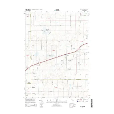 2014 Shaftsburg2014 Print · USGSMid-Michigan's tri-county borderlands come into focus in the mid-2010s, centered on the historic rail stop at Shaftsburg. Researchers can trace local heritage through several burial grounds, including Oak Plain Cem and Graham Cem, or locate the Perry Aero Park Airport near the Looking Glass River.
 - 2014 Map of Perry, 2014 Print
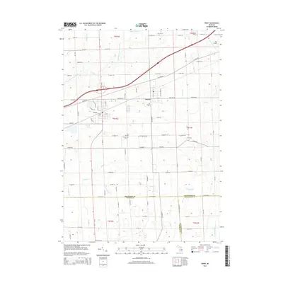 2014 Perry2014 Print · USGSShiawassee County and the surrounding tri-county border area are captured here in the early twenty-first century as the landscape balances its rural roots with modern transit. Researchers can trace local lineage through numerous sites like Roselawn Cem, find the rail-era footprint of Perry Station, and locate the small-scale Dysinger Airport.
 - 2014 Map of Webberville, 2014 Print
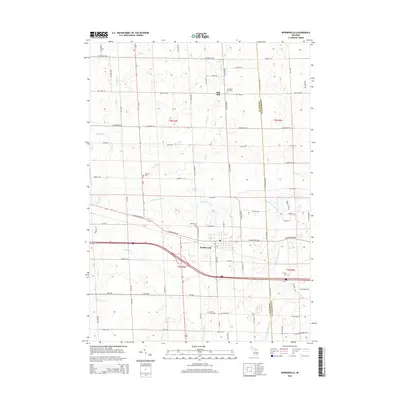 2014 Webberville2014 Print · USGSMid-Michigan agricultural lands and small-town centers are captured here during the early twenty-first century. Researchers can trace family sites and local history at Webberville or rural burial grounds like Alchin Farm Cem and Rowley Cem.
 - 2014 Map of Williamston, 2014 Print
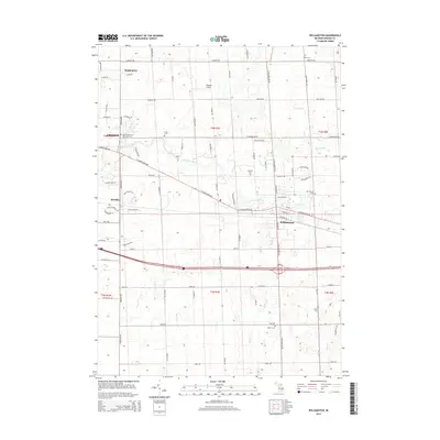 2014 Williamston2014 Print · USGSMid-Michigan's river-fed landscape comes into focus during this modern era of suburban growth near the Red Cedar River. Local historians can trace several burial sites including Saint Katherine's Episcopal Cem, Brick Cem, and the small landing strip at Maidens Airport.
Showing maps 1-25 of 37
Top cities near Locke Township
- Lansing historical maps
- Marion Township historical maps
- Putnam Township historical maps
- Handy Township historical maps
- Mason historical maps
- Howell Township historical maps
See more
Top neighborhoods of Locke Township
Frequently asked questions
- What are the different types of historical maps available for Locke Township?
- What is the oldest map of Locke Township?
- Where can I purchase historical maps of Locke Township for my home or office?
- Where can I download high-res historical maps of Locke Township?
- Are there historical topographic maps available for Locke Township?
- Is there historical aerial imagery available for Locke Township?
- Where are historical maps of Locke Township sourced from?