2000s (21st Century) Maps of Stockbridge Township, Michigan
Explore 20 historic maps of Stockbridge Township from the 2000s (21st Century). These maps offer a rare glimpse into what life looked like during the 2000s — showing old roads, neighborhoods, homes, and landmarks that have changed or disappeared over time.
Whether you're researching your family's past, planning a metal detecting trip, or studying how Stockbridge Township's landscape evolved across the 2000s, these high-resolution maps are a powerful tool for exploring the history of this region.
- Focus on a specific era: All maps on this page are from the 2000s, giving you a focused view of this time period.
- See what’s changed: Compare century-old streets, trails, and buildings to today's modern landscape using overlays and satellite layers.
- Research with precision: Use these maps for genealogy, historical research, land use analysis, or educational projects.
- View, download, or print: Maps are fully viewable online in high resolution, and can be downloaded or printed for your own records.
Start exploring Stockbridge Township's history through authentic maps from the 2000s. This is your window into the past.
Stockbridge Township, MI maps
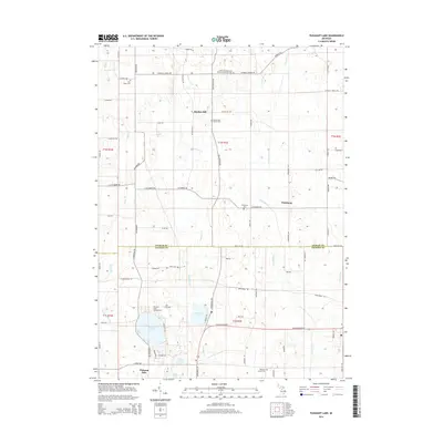
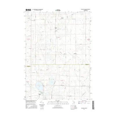
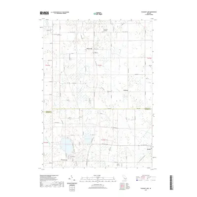
(20)- 2011 Map of Pleasant Lake, 2011 Print
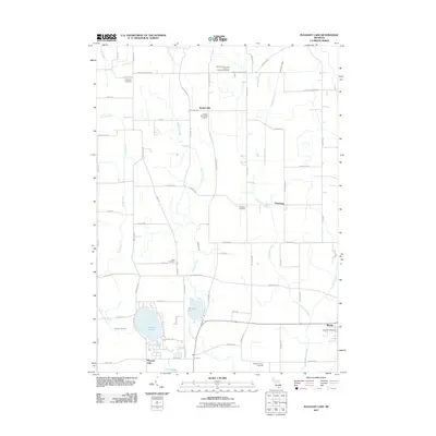 2011 Pleasant Lake2011 Print · USGSCovers Stockbridge Township, including Bunker Hill Township, Rives Township, and other nearby areas
 - 2011 Map of Dansville, 2011 Print
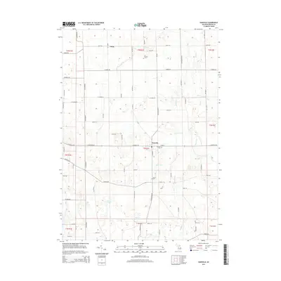
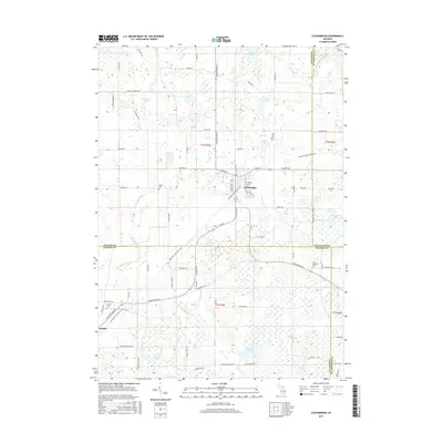
 2011 Dansville2011 Print · USGSCovers Stockbridge Township, including Dansville, Bunker Hill Township, and other nearby areas
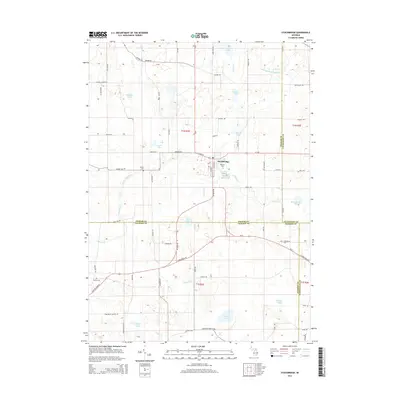
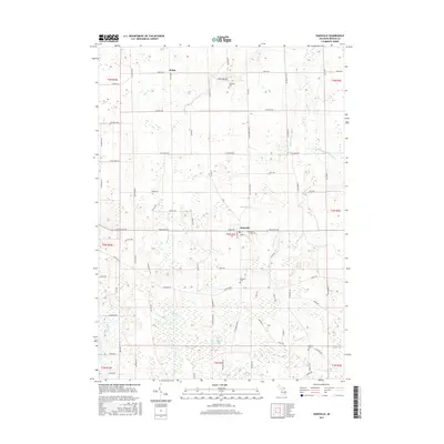
 - 2011 Map of Stockbridge, 2011 Print
 2011 Stockbridge2011 Print · USGSCovers Stockbridge Township, including Unadilla Township, Lyndon Township, and other nearby areas
 - 2011 Map of Millville, 2011 Print
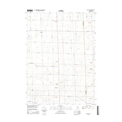
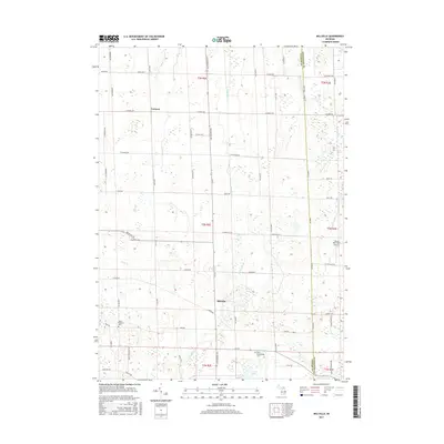
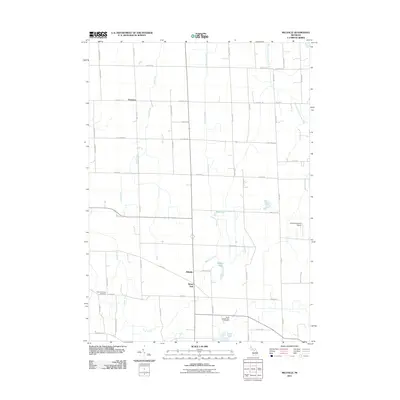 2011 Millville2011 Print · USGSCovers Stockbridge Township, including Handy Township, Iosco Township, and other nearby areas
 - 2014 Map of Stockbridge, 2014 Print
 2014 Stockbridge2014 Print · USGSCovers Stockbridge Township, including Unadilla Township, Lyndon Township, and other nearby areas
 - 2014 Map of Pleasant Lake, 2014 Print
 2014 Pleasant Lake2014 Print · USGSCovers Stockbridge Township, including Bunker Hill Township, Rives Township, and other nearby areas
 - 2014 Map of Millville, 2014 Print
 2014 Millville2014 Print · USGSCovers Stockbridge Township, including Handy Township, Iosco Township, and other nearby areas
 - 2014 Map of Dansville, 2014 Print
 2014 Dansville2014 Print · USGSCovers Stockbridge Township, including Dansville, Bunker Hill Township, and other nearby areas
 - 2017 Map of Dansville, 2017 Print
 2017 Dansville2017 Print · USGSCovers Stockbridge Township, including Dansville, Bunker Hill Township, and other nearby areas
 - 2017 Map of Pleasant Lake, 2017 Print
 2017 Pleasant Lake2017 Print · USGSCovers Stockbridge Township, including Bunker Hill Township, Rives Township, and other nearby areas
 - 2017 Map of Millville, 2017 Print
 2017 Millville2017 Print · USGSCovers Stockbridge Township, including Handy Township, Iosco Township, and other nearby areas
 - 2017 Map of Stockbridge, 2017 Print
 2017 Stockbridge2017 Print · USGSCovers Stockbridge Township, including Unadilla Township, Lyndon Township, and other nearby areas
 - 2019 Map of Pleasant Lake, 2019 Print
 2019 Pleasant Lake2019 Print · USGSCovers Stockbridge Township, including Bunker Hill Township, Rives Township, and other nearby areas
 - 2019 Map of Millville, 2019 Print
 2019 Millville2019 Print · USGSCovers Stockbridge Township, including Handy Township, Iosco Township, and other nearby areas
 - 2019 Map of Dansville, 2019 Print
 2019 Dansville2019 Print · USGSCovers Stockbridge Township, including Dansville, Bunker Hill Township, and other nearby areas
 - 2019 Map of Stockbridge, 2019 Print
 2019 Stockbridge2019 Print · USGSCovers Stockbridge Township, including Unadilla Township, Lyndon Township, and other nearby areas
 - 2023 Map of Dansville, 2023 Print
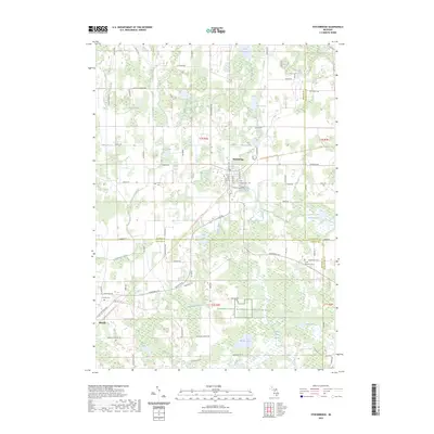
 2023 Dansville2023 Print · USGSDansville and the surrounding Ingham County farmlands are documented here in the early 2020s, showing a landscape shaped by rural tradition and essential water management. Researchers can locate family heritage sites like Spalding Cem, Reeves Cem, and the quiet waters of Hewes Lake.
 - 2023 Map of Millville, 2023 Print
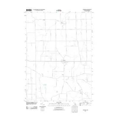
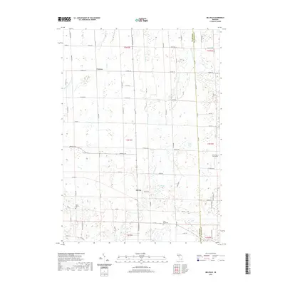
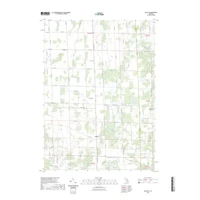 2023 Millville2023 Print · USGSThe rural border of Ingham and Livingston counties is mapped here in the early 2020s, showing a landscape defined by creeks and small lakes. Researchers can trace local roots at Mount Pleasant Cem, or locate landmarks like Millville and Burden Lake.
 - 2023 Map of Stockbridge, 2023 Print
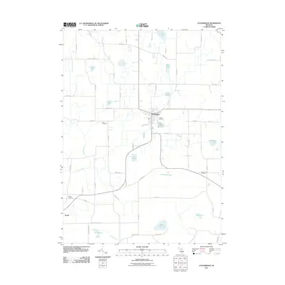
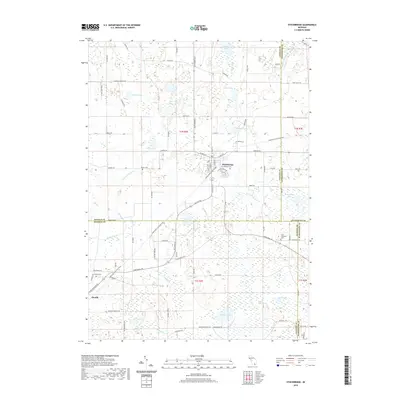
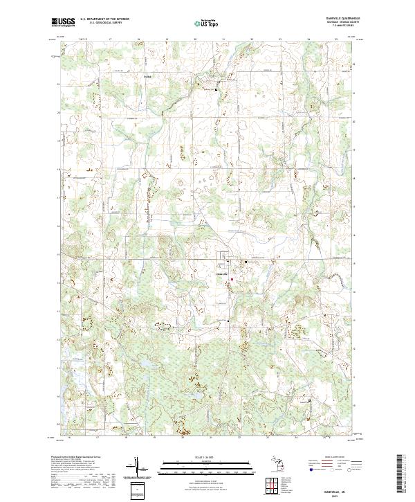
 2023 Stockbridge2023 Print · USGSStockbridge and its neighboring rural townships are captured here at the intersection of Ingham and Jackson counties. Genealogists and local historians can locate early burial sites like Oaklawn Cem and Derby Cem or trace the Portage River through the Portage Lake Swamp.
 - 2023 Map of Pleasant Lake, 2023 Print
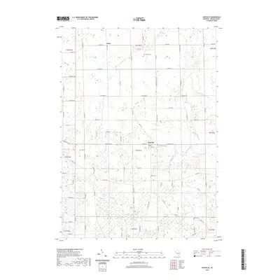
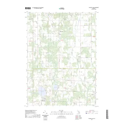 2023 Pleasant Lake2023 Print · USGSThe Ingham and Jackson County borderlands are documented here in detail, showcasing a landscape of rural hamlets and interconnected wetlands. Genealogists can trace family footprints at Felt Plains Cemetery, Bunker Hill, and the grounds of Saint Cornelius and Cyprian's Catholic Church.
End of results
Showing maps 1-20 of 20
Top cities near Stockbridge Township
- Lansing historical maps
- Jackson historical maps
- Leoni historical maps
- Marion Township historical maps
- Putnam Township historical maps
- Handy Township historical maps
See more
Top neighborhoods of Stockbridge Township
Frequently asked questions
- What are the different types of historical maps available for Stockbridge Township?
- What is the oldest map of Stockbridge Township?
- Where can I purchase historical maps of Stockbridge Township for my home or office?
- Where can I download high-res historical maps of Stockbridge Township?
- Are there historical topographic maps available for Stockbridge Township?
- Is there historical aerial imagery available for Stockbridge Township?
- Where are historical maps of Stockbridge Township sourced from?