Old Maps of Coldwater Township, Michigan for Metal Detecting
Plan your next treasure hunt with 36 historic maps of Coldwater Township. Find old homesites, ghost towns, trails, and gathering spots that may be lost to time — perfect for identifying promising metal detecting locations.
- Locate forgotten sites: Uncover places like long-lost settlements, abandoned rail lines, or gathering spots.
- Plan better hunts: Use map overlays combined with LiDAR or satellite views to narrow in on historically rich areas.
- Made for detectorists: Thousands of hobbyists use these maps to discover relics, coins, and hidden history.
Use these historic maps to boost your research and find new opportunities beneath the surface of Coldwater Township.
Coldwater Township, MI maps
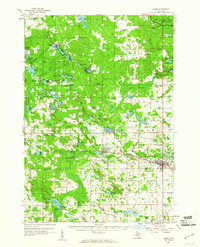
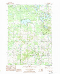
(36)- 1916 Map of Mount Pleasant
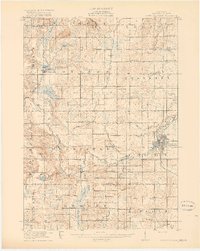 1916 Mount Pleasant1916 Print · USGSIsabella County during the first World War is a landscape of established townships and dense rural school districts. Genealogists and historians can trace the Ann Arbor R.R. through Mount Pleasant or locate old community hubs like Gleaner Hall and Beal City.2 unique versions available
 - 1919 Map of Mount Pleasant
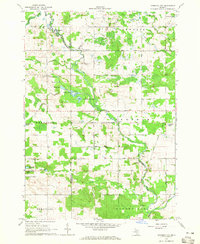
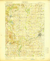 1919 Mount Pleasant1919 Print · USGSIsabella County appears here at its agrarian peak after the Great War, showing a landscape filled with family-named schools and crossroads. Genealogists can trace property proximities to landmarks like Beal City, Rosebush, and the U.S. Indian Industrial School.2 unique versions available
 - 1943 Map of Mount Pleasant
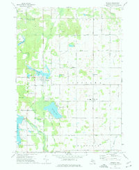
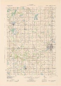 1943 Mount Pleasant1943 Print · USGSMid-century Isabella County comes to life here, showing a landscape still defined by its township schools and the winding Chippewa River. Researchers can locate the U S Indian Industrial Sch, the Pere Marquette rail corridor, and local landmarks like the Mint Mill.
 - 1954 Map of Midland, 1967 Print
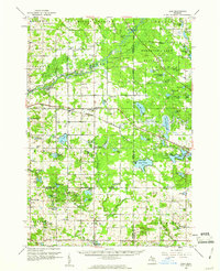
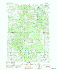
 1954 Midland1967 Print · USGSMid-Michigan at the peak of the post-war era shows a landscape balancing industrial growth in Midland with the deep timberlands of the Manistee National Forest. Researchers can trace the legacy of the timber and rail era along the Pennsylvania RR or find family roots in river towns like Chesaning and Big Rapids.4 unique versions available
 - 1958 Map of Midland
 1958 Midland1958 Print · USGSCentral Michigan in the late fifties is captured here during a period of transition for its university towns and industrial hubs. Genealogists and researchers can trace family lines through old rail-stop towns like Breckenridge and Chesaning or locate property near the Muskegon River and Prairie Farm.
 - 1959 Map of Midland
 1959 Midland1959 Print · USGSMid-century Michigan comes alive in this survey of the central Lower Peninsula, from the streets of Grand Rapids to the Houghton Lake timberlands. Genealogists and rail fans can trace the Ann Arbor RR and Chesapeake and Ohio RR through towns like Big Rapids and Mount Pleasant.
 - 1959 Map of Lake, 1960 Print
 1959 Lake1960 Print · USGSOsceola and Mecosta Counties were a mix of timber-state forests and oil exploration during the late fifties. Researchers can trace rural landmarks from Sears to Brinton, including the County Home, local sites like Martin Sch, and the Chesapeake and Ohio rail line.2 unique versions available
 - 1959 Map of Clare, 1960 Print
 1959 Clare1960 Print · USGSClare and Farwell are captured here at the close of the 1950s, showing the vital rail junction where the Chesapeake and Ohio meets the Ann Arbor Railroad. Genealogists can trace family names through landmarks like the Old Township Cem, Maple Grove Ch, and Wilson Sch.2 unique versions available
 - 1964 Map of Sherman City, 1965 Print
 1964 Sherman City1965 Print · USGSMid-century Isabella and Mecosta Counties are captured here as the rural landscape transitioned through an era of local resource extraction and agriculture. Researchers can locate the Sherman City Cemetery, the Forest Hill Church, and the winding course of the Chippewa River.3 unique versions available
 - 1966 Map of Midland
 1966 Midland1966 Print · USGSCentral Michigan in the mid-1960s shows a landscape of growing manufacturing hubs and active resource extraction. Genealogists and historians can trace the rail corridors of the Grand Trunk Western or locate family-named landmarks near Oil wells and the Muskegon River.
 - 1973 Map of Weidman, 1976 Print
 1973 Weidman1976 Print · USGSIsabella County in the early seventies shows a landscape of growing lake communities and rural townships. Researchers can locate family roots at St Joseph Cem or trace the early development of Weidman and Lake Isabella.
 - 1983 Map of Woods, 1984 Print
 1983 Woods1984 Print · USGSIsabella County's varied landscape of state forests and glacial lakes is captured here during the early 1980s. Researchers can locate the Gilmore Church, trace the Chippewa River headwaters, or find family plots in Conley Cemetery and Township Cemetery.
 - 1984 Map of Lake
 1984 Lake1984 Print · USGSIsabella and Clare counties are captured in the mid-1980s, showing a landscape defined by glacial lakes and small rural settlements. Researchers can locate family sites at North Brinton Cem or trace the early developments around Eight Point Lake and Brinton.
 - 1984 Map of Big Rapids
 1984 Big Rapids1984 Print · USGSMid-Michigan in the mid-eighties shows a balance of deep-woods conservation and riverfront industry centered on the Muskegon River. Genealogists and historians can trace rail-town development along the Chesapeake and Ohio or locate family sites near Idlewild, Reed City, and Forest Hill Cem.
 - 1984 Map of Midland, 1985 Print
 1984 Midland1985 Print · USGSMid-Michigan's industrial and forest lands come into focus in the mid-eighties, centered on the growing hubs of Midland and Mount Pleasant. Genealogists and historians can trace the Chesapeake and Ohio rail corridor through small towns like Rosebush and Edenville.2 unique versions available
 - 1991 Map of Big Rapids
 1991 Big Rapids1991 Print · USGSWest Michigan’s river valleys and timberlands are charted here during the early nineties, centered on the Big Rapids corridor. Researchers can trace the path of the C & O RR through settlements like Reed City, Baldwin, and White Cloud.
 - 2011 Map of Weidman, 2011 Print
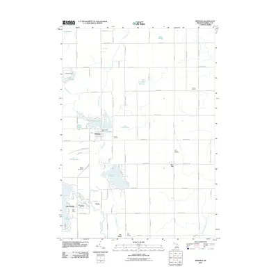 2011 Weidman2011 Print · USGSCovers Coldwater Township, including Lake Isabella, Broomfield Township, and other nearby areas
 - 2011 Map of Woods, 2011 Print
 2011 Woods2011 Print · USGSCovers Coldwater Township, including Farwell, Gilmore Township, and other nearby areas
 - 2011 Map of Sherman City, 2011 Print
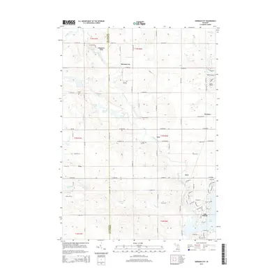
 2011 Sherman City2011 Print · USGSCovers Coldwater Township, including Lake Isabella, Broomfield Township, and other nearby areas
 - 2011 Map of Lake, 2011 Print
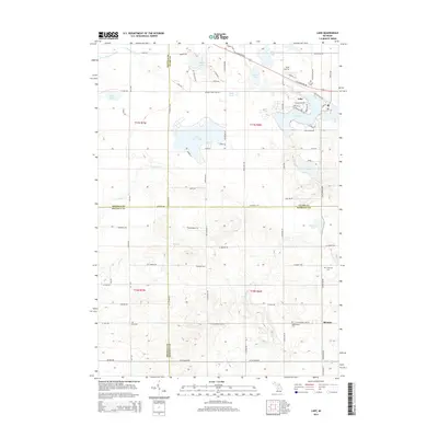
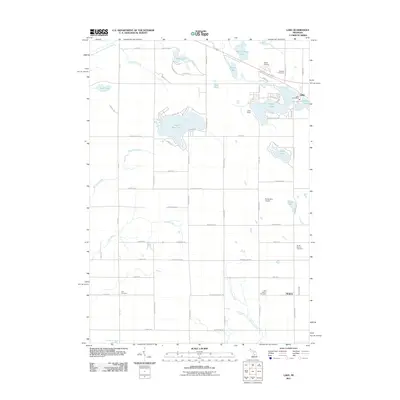 2011 Lake2011 Print · USGSCovers Coldwater Township, including Garfield Township, Lake, and other nearby areas
 - 2014 Map of Woods, 2014 Print
 2014 Woods2014 Print · USGSCovers Coldwater Township, including Farwell, Gilmore Township, and other nearby areas
 - 2014 Map of Weidman, 2014 Print
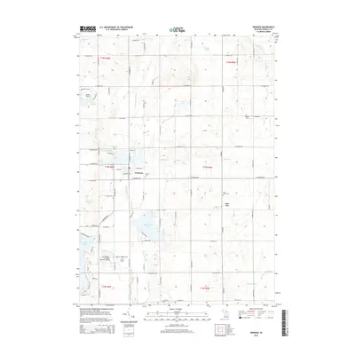 2014 Weidman2014 Print · USGSCovers Coldwater Township, including Lake Isabella, Broomfield Township, and other nearby areas
 - 2014 Map of Sherman City, 2014 Print
 2014 Sherman City2014 Print · USGSCovers Coldwater Township, including Lake Isabella, Broomfield Township, and other nearby areas
 - 2014 Map of Lake, 2014 Print
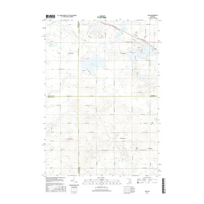
 2014 Lake2014 Print · USGSCovers Coldwater Township, including Garfield Township, Lake, and other nearby areas
 - 2017 Map of Lake, 2017 Print
 2017 Lake2017 Print · USGSCovers Coldwater Township, including Garfield Township, Lake, and other nearby areas
Showing maps 1-25 of 36
Top cities near Coldwater Township
- Evart historical maps
- Remus historical maps
- Millbrook historical maps
- Lake Isabella historical maps
- Hatton historical maps
- Farwell historical maps
See more
Top neighborhoods of Coldwater Township
Frequently asked questions
- What are the different types of historical maps available for Coldwater Township?
- What is the oldest map of Coldwater Township?
- Where can I purchase historical maps of Coldwater Township for my home or office?
- Where can I download high-res historical maps of Coldwater Township?
- Are there historical topographic maps available for Coldwater Township?
- Is there historical aerial imagery available for Coldwater Township?
- Where are historical maps of Coldwater Township sourced from?