Old Maps of Union Charter Township, Michigan
Explore 34 old maps of Union Charter Township, spanning from 1916 to today. These high-resolution historic maps reveal how streets, neighborhoods, landmarks, and natural features evolved over time — perfect for genealogy, metal detecting, research, and local history exploration.
What you can do with these maps:
- See how Union Charter Township changed over time: Compare historical maps to modern-day views to trace roads, homesites, rail lines & more.
- View detailed metadata: Each map includes creators, publishers, year, scale, and archive source.
- Overlay maps with satellite & LiDAR: Visualize the past alongside modern tools to explore terrain & human change.
- Trusted historical sources: Maps sourced from the USGS, Library of Congress, and other archives.
- Access maps your way: View online, download high-res files, or order prints for personal or research use.
Start exploring old maps of Union Charter Township to uncover forgotten places, hidden landmarks, and the deep history beneath your feet.
Union Charter Township, MI maps
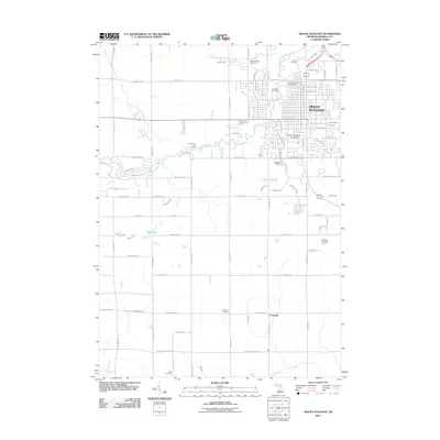
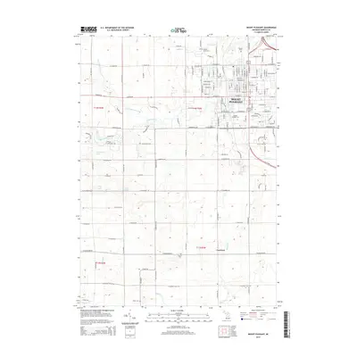
(34)- 1916 Map of Mount Pleasant
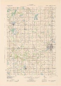
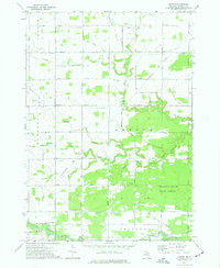
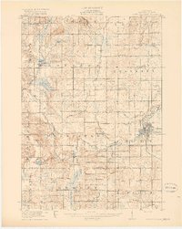 1916 Mount Pleasant1916 Print · USGSIsabella County during the first World War is a landscape of established townships and dense rural school districts. Genealogists and historians can trace the Ann Arbor R.R. through Mount Pleasant or locate old community hubs like Gleaner Hall and Beal City.2 unique versions available
 - 1919 Map of Mount Pleasant
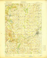 1919 Mount Pleasant1919 Print · USGSIsabella County appears here at its agrarian peak after the Great War, showing a landscape filled with family-named schools and crossroads. Genealogists can trace property proximities to landmarks like Beal City, Rosebush, and the U.S. Indian Industrial School.2 unique versions available
 - 1930 Map of Shepherd
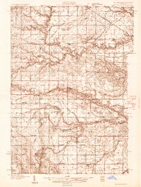 1930 Shepherd1930 Print · USGSIsabella and Midland counties are shown during the 1930s oil boom, centered on the infrastructure around Oil City. Genealogists and researchers can trace family lands near dozens of rural schoolhouses like McNelly Sch or visit the Coleman Cem.3 unique versions available
 - 1936 Map of Shepherd
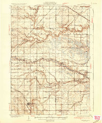 1936 Shepherd1936 Print · USGSCentral Michigan’s rural landscape comes alive in this mid-1930s survey of the Isabella and Midland county line. Genealogists can locate dozens of country schoolhouses like Polish Sch and early churches such as Geneva Hope Ch near the village of Shepherd.2 unique versions available
 - 1943 Map of Mount Pleasant
 1943 Mount Pleasant1943 Print · USGSMid-century Isabella County comes to life here, showing a landscape still defined by its township schools and the winding Chippewa River. Researchers can locate the U S Indian Industrial Sch, the Pere Marquette rail corridor, and local landmarks like the Mint Mill.
 - 1954 Map of Midland, 1967 Print
 1954 Midland1967 Print · USGSMid-Michigan at the peak of the post-war era shows a landscape balancing industrial growth in Midland with the deep timberlands of the Manistee National Forest. Researchers can trace the legacy of the timber and rail era along the Pennsylvania RR or find family roots in river towns like Chesaning and Big Rapids.4 unique versions available
 - 1958 Map of Midland
 1958 Midland1958 Print · USGSCentral Michigan in the late fifties is captured here during a period of transition for its university towns and industrial hubs. Genealogists and researchers can trace family lines through old rail-stop towns like Breckenridge and Chesaning or locate property near the Muskegon River and Prairie Farm.
 - 1959 Map of Midland
 1959 Midland1959 Print · USGSMid-century Michigan comes alive in this survey of the central Lower Peninsula, from the streets of Grand Rapids to the Houghton Lake timberlands. Genealogists and rail fans can trace the Ann Arbor RR and Chesapeake and Ohio RR through towns like Big Rapids and Mount Pleasant.
 - 1966 Map of Midland
 1966 Midland1966 Print · USGSCentral Michigan in the mid-1960s shows a landscape of growing manufacturing hubs and active resource extraction. Genealogists and historians can trace the rail corridors of the Grand Trunk Western or locate family-named landmarks near Oil wells and the Muskegon River.
 - 1973 Map of Shepherd, 1976 Print
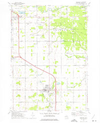 1973 Shepherd1976 Print · USGSShepherd and the surrounding Isabella County townships are seen here in the early seventies, caught between agricultural tradition and local industrial expansion. Researchers can trace historic church sites like Indian Ch and family burial plots at Salt River Cem or Township Cem.
 - 1973 Map of Mount Pleasant, 1976 Print
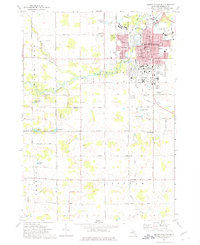 1973 Mount Pleasant1976 Print · USGSMount Pleasant and its surrounding townships are shown here in the early 1970s, just as the university campus and residential suburbs were expanding. Genealogists and local historians can trace the Indian Reservation Boundary or locate family plots in Calvary Cem and Lincoln Cem.
 - 1973 Map of Rosebush, 1976 Print
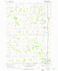 1973 Rosebush1976 Print · USGSIsabella County during the early seventies is shown here as a landscape of grid-patterned township roads and scattered oil production. Genealogists can trace family footprints at St Henrys Ch, Indian Cem, and the small settlement of Schofield.
 - 1973 Map of Leaton, 1977 Print
 1973 Leaton1977 Print · USGSIsabella County in the early seventies was a hub of energy production and timber management as the oil fields expanded. Genealogists and historians can trace family roots through the Bissing Cem or locate old wells in the Rosebush Oil Field and Vernon Oil Field.
 - 1984 Map of Midland, 1985 Print
 1984 Midland1985 Print · USGSMid-Michigan's industrial and forest lands come into focus in the mid-eighties, centered on the growing hubs of Midland and Mount Pleasant. Genealogists and historians can trace the Chesapeake and Ohio rail corridor through small towns like Rosebush and Edenville.2 unique versions available
 - 2011 Map of Shepherd, 2011 Print
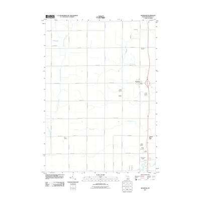
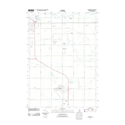 2011 Shepherd2011 Print · USGSCovers Union Charter Township, including Mount Pleasant, Shepherd, and other nearby areas
 - 2011 Map of Rosebush, 2011 Print
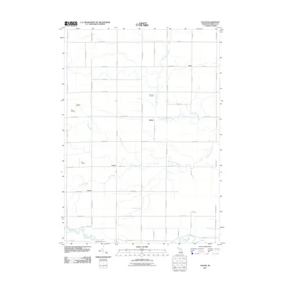
 2011 Rosebush2011 Print · USGSCovers Union Charter Township, including Mount Pleasant, Rosebush, and other nearby areas
 - 2011 Map of Leaton, 2011 Print
 2011 Leaton2011 Print · USGSCovers Union Charter Township, including Wise, Wise Township, and other nearby areas
 - 2011 Map of Mount Pleasant, 2011 Print
 2011 Mount Pleasant2011 Print · USGSCovers Union Charter Township, including Mount Pleasant, Deerfield Township, and other nearby areas
 - 2014 Map of Leaton, 2014 Print
 2014 Leaton2014 Print · USGSCovers Union Charter Township, including Wise, Wise Township, and other nearby areas
 - 2014 Map of Shepherd, 2014 Print
 2014 Shepherd2014 Print · USGSCovers Union Charter Township, including Mount Pleasant, Shepherd, and other nearby areas
 - 2014 Map of Rosebush, 2014 Print
 2014 Rosebush2014 Print · USGSCovers Union Charter Township, including Mount Pleasant, Rosebush, and other nearby areas
 - 2014 Map of Mount Pleasant, 2014 Print
 2014 Mount Pleasant2014 Print · USGSCovers Union Charter Township, including Mount Pleasant, Deerfield Township, and other nearby areas
 - 2017 Map of Leaton, 2017 Print
 2017 Leaton2017 Print · USGSCovers Union Charter Township, including Wise, Wise Township, and other nearby areas
 - 2017 Map of Shepherd, 2017 Print
 2017 Shepherd2017 Print · USGSCovers Union Charter Township, including Mount Pleasant, Shepherd, and other nearby areas
 - 2017 Map of Rosebush, 2017 Print
 2017 Rosebush2017 Print · USGSCovers Union Charter Township, including Mount Pleasant, Rosebush, and other nearby areas
Showing maps 1-25 of 34
Top cities near Union Charter Township
- Mount Pleasant historical maps
- Alma historical maps
- Saint Louis historical maps
- Clare historical maps
- Coe historical maps
- Wise historical maps
See more
Frequently asked questions
- What are the different types of historical maps available for Union Charter Township?
- What is the oldest map of Union Charter Township?
- Where can I purchase historical maps of Union Charter Township for my home or office?
- Where can I download high-res historical maps of Union Charter Township?
- Are there historical topographic maps available for Union Charter Township?
- Is there historical aerial imagery available for Union Charter Township?
- Where are historical maps of Union Charter Township sourced from?