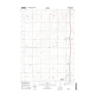
2014 Map of Rosebush
USGS Topo · Published 2014About this map
Rosebush stands as a focal point in this central Michigan landscape, positioned along a grid of section roads that define the rural character of Isabella County. The area is marked by a high density of historical burying grounds, including Saint Henrys Cem to the north and the Isabella Township Cem and Rosebush Cem closer to the settlement center. These sites, along with the Zion Lutheran Cem further west, offer significant touchstones for genealogical research in the township.
Find a feature on this map
57 named features on this map. Tap any name to fly to it.
Don’t see what you’re looking for? This feature index may not catch every label — zoom into the map to look around manually.
Map Details
Editions of this 2014 Rosebush Map
This is the sole edition of this map. No revisions or reprints were ever made.
Other maps of this area

1916 · Mount Pleasant
USGS Topo · 1:62,500

1919 · Mount Pleasant
USGS Topo · 1:62,500

1930 · Shepherd
USGS Topo · 1:48,000

1936 · Shepherd
USGS Topo · 1:62,500

1943 · Mount Pleasant
USGS Topo · 1:62,500

1954 · Midland
USGS Topo · 1:250,000

1958 · Midland
USGS Topo · 1:250,000

1959 · Midland
USGS Topo · 1:250,000

1959 · Clare
USGS Topo · 1:62,500

1966 · Midland
USGS Topo · 1:250,000