2000s (21st Century) Maps of Pulaski Township, Michigan
Explore 20 historic maps of Pulaski Township from the 2000s (21st Century). These maps offer a rare glimpse into what life looked like during the 2000s — showing old roads, neighborhoods, homes, and landmarks that have changed or disappeared over time.
Whether you're researching your family's past, planning a metal detecting trip, or studying how Pulaski Township's landscape evolved across the 2000s, these high-resolution maps are a powerful tool for exploring the history of this region.
- Focus on a specific era: All maps on this page are from the 2000s, giving you a focused view of this time period.
- See what’s changed: Compare century-old streets, trails, and buildings to today's modern landscape using overlays and satellite layers.
- Research with precision: Use these maps for genealogy, historical research, land use analysis, or educational projects.
- View, download, or print: Maps are fully viewable online in high resolution, and can be downloaded or printed for your own records.
Start exploring Pulaski Township's history through authentic maps from the 2000s. This is your window into the past.
Pulaski Township, MI maps
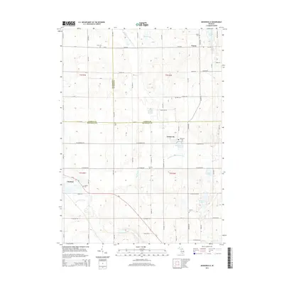
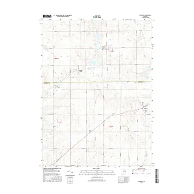
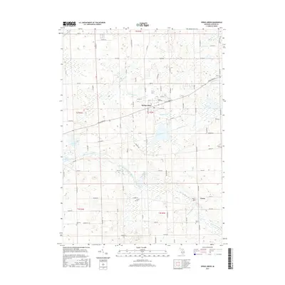
(20)- 2011 Map of Spring Arbor, 2011 Print
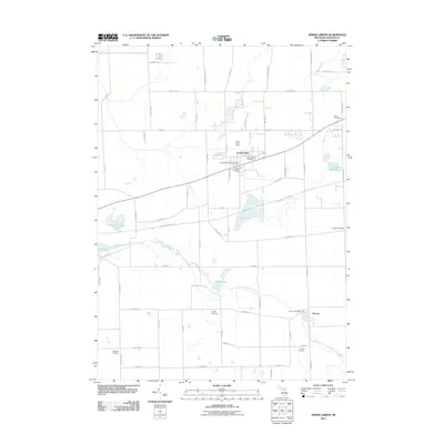 2011 Spring Arbor2011 Print · USGSCovers Pulaski Township, including Spring Arbor Township, Spring Arbor, and other nearby areas
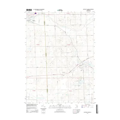
 - 2011 Map of Southeast Albion, 2011 Print
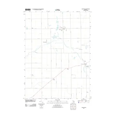
 2011 Southeast Albion2011 Print · USGSCovers Pulaski Township, including Albion, Concord, and other nearby areas
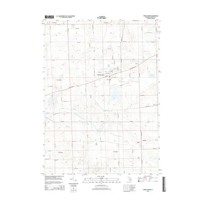
 - 2011 Map of Mosherville, 2011 Print
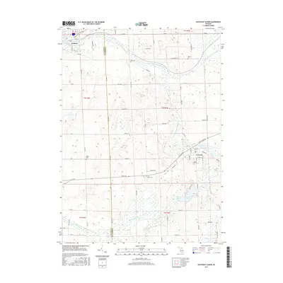
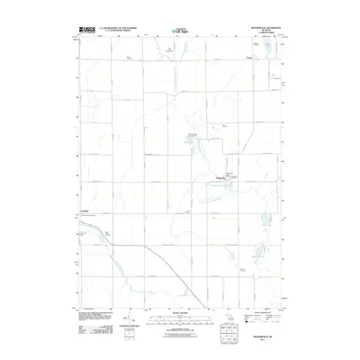 2011 Mosherville2011 Print · USGSCovers Pulaski Township, including Pulaski, Litchfield, and other nearby areas
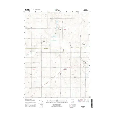
 - 2011 Map of Hanover, 2011 Print
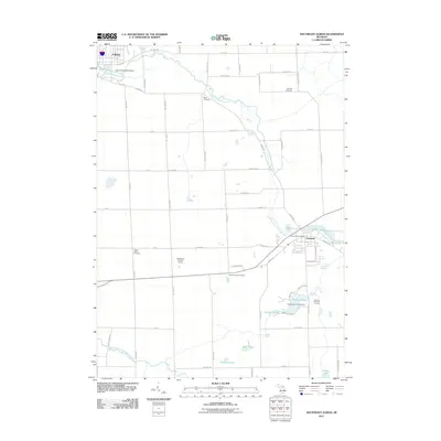
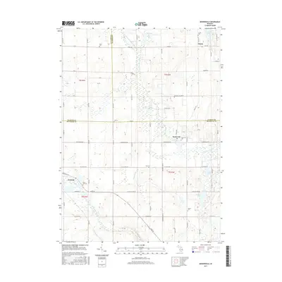
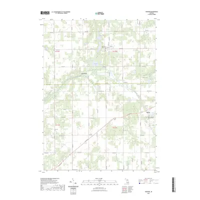
 2011 Hanover2011 Print · USGSCovers Pulaski Township, including Moscow, Hanover, and other nearby areas
 - 2014 Map of Mosherville, 2014 Print
 2014 Mosherville2014 Print · USGSCovers Pulaski Township, including Pulaski, Litchfield, and other nearby areas
 - 2014 Map of Hanover, 2014 Print
 2014 Hanover2014 Print · USGSCovers Pulaski Township, including Moscow, Hanover, and other nearby areas
 - 2014 Map of Spring Arbor, 2014 Print
 2014 Spring Arbor2014 Print · USGSCovers Pulaski Township, including Spring Arbor Township, Spring Arbor, and other nearby areas
 - 2014 Map of Southeast Albion, 2014 Print
 2014 Southeast Albion2014 Print · USGSCovers Pulaski Township, including Albion, Concord, and other nearby areas
 - 2017 Map of Hanover, 2017 Print
 2017 Hanover2017 Print · USGSCovers Pulaski Township, including Moscow, Hanover, and other nearby areas
 - 2017 Map of Southeast Albion, 2017 Print
 2017 Southeast Albion2017 Print · USGSCovers Pulaski Township, including Albion, Concord, and other nearby areas
 - 2017 Map of Mosherville, 2017 Print
 2017 Mosherville2017 Print · USGSCovers Pulaski Township, including Pulaski, Litchfield, and other nearby areas
 - 2017 Map of Spring Arbor, 2017 Print
 2017 Spring Arbor2017 Print · USGSCovers Pulaski Township, including Spring Arbor Township, Spring Arbor, and other nearby areas
 - 2019 Map of Southeast Albion, 2019 Print
 2019 Southeast Albion2019 Print · USGSCovers Pulaski Township, including Albion, Concord, and other nearby areas
 - 2019 Map of Hanover, 2019 Print
 2019 Hanover2019 Print · USGSCovers Pulaski Township, including Moscow, Hanover, and other nearby areas
 - 2019 Map of Spring Arbor, 2019 Print
 2019 Spring Arbor2019 Print · USGSCovers Pulaski Township, including Spring Arbor Township, Spring Arbor, and other nearby areas
 - 2019 Map of Mosherville, 2019 Print
 2019 Mosherville2019 Print · USGSCovers Pulaski Township, including Pulaski, Litchfield, and other nearby areas
 - 2023 Map of Southeast Albion, 2023 Print
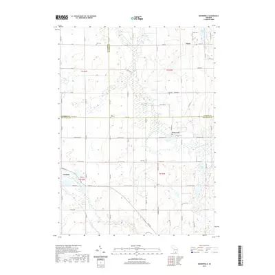
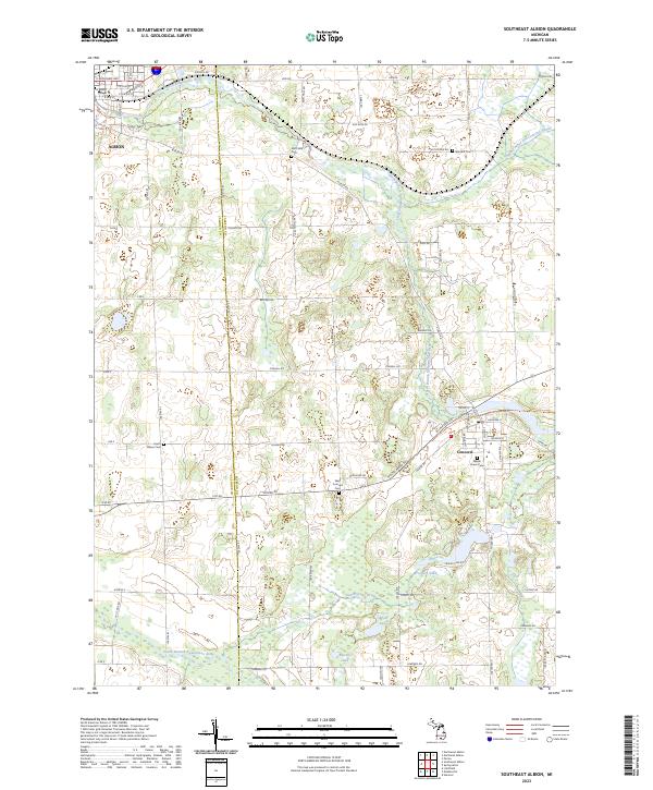 2023 Southeast Albion2023 Print · USGSJackson and Calhoun counties are surveyed here in the early twenty-first century, showing the developed landscapes between Albion and Concord. Researchers can find numerous historic burial sites like Maple Grove Cem and West Concord Cem along the North Branch Kalamazoo River.
 - 2023 Map of Mosherville, 2023 Print
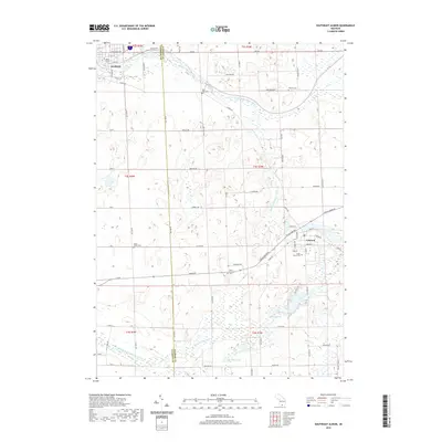
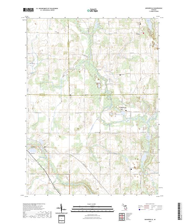 2023 Mosherville2023 Print · USGSSouthern Michigan farm country and the headwaters of two major river systems are documented here in the early twenty-first century. Genealogists can locate numerous family-named burial sites including Hiram King Cem, Fisher Cem, and Mount Hope Cem.
 - 2023 Map of Spring Arbor, 2023 Print
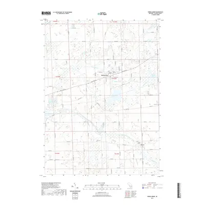
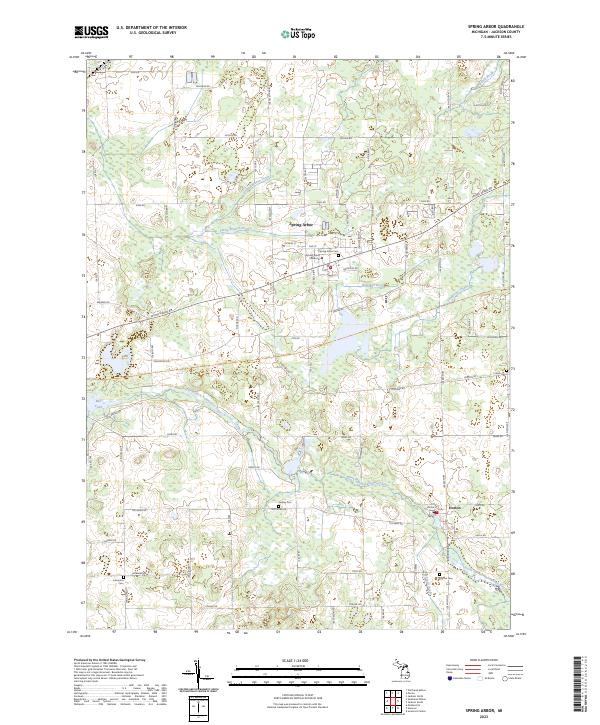 2023 Spring Arbor2023 Print · USGSSpring Arbor and its surrounding townships are shown here in the 2020s, centered on the historic campus of Spring Arbor University. Researchers can trace local lineage through several documented burial sites, including Leidley Cem and Horton Cem, or follow the winding North Branch Kalamazoo River.
 - 2023 Map of Hanover, 2023 Print
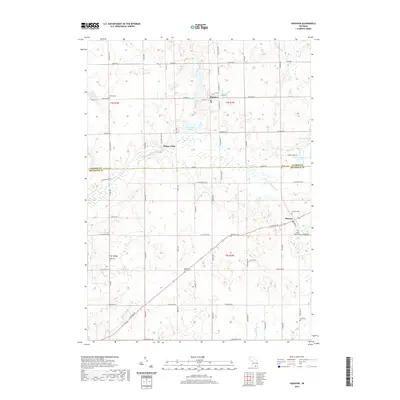
 2023 Hanover2023 Print · USGSThe borderlands of Jackson and Hillsdale counties are documented in this recent survey of agricultural and glacial terrain. Genealogists can trace family heritage through numerous burial sites including Old Soldier Cem, Moscow Plains Cem, and Hanover Cem.
End of results
Showing maps 1-20 of 20
Top cities near Pulaski Township
- Jackson historical maps
- Albion historical maps
- Spring Arbor Township historical maps
- Hillsdale historical maps
- Spring Arbor historical maps
- Jonesville historical maps
See more
Top neighborhoods of Pulaski Township
Frequently asked questions
- What are the different types of historical maps available for Pulaski Township?
- What is the oldest map of Pulaski Township?
- Where can I purchase historical maps of Pulaski Township for my home or office?
- Where can I download high-res historical maps of Pulaski Township?
- Are there historical topographic maps available for Pulaski Township?
- Is there historical aerial imagery available for Pulaski Township?
- Where are historical maps of Pulaski Township sourced from?