Old Maps of Excelsior Township, Michigan for Academic Research
Study the evolution of Excelsior Township with 33 high-resolution historic maps. Whether you're teaching, researching, or modeling changes in land use, these maps provide essential visual documentation of urban, environmental, and geographic change.
- Analyze long-term change: Track patterns in development, transportation, and natural features.
- Ideal for environmental or urban studies: Support academic projects with primary historical map data.
- Use in the classroom or lab: Educators and researchers rely on these maps to bring historical context to life.
These maps are a powerful tool for teaching, research, and visualizing how Excelsior Township has changed over the decades.
Excelsior Township, MI maps
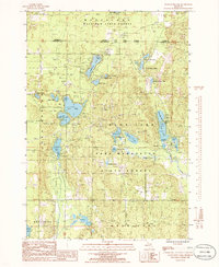
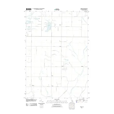
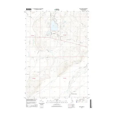
(33)- 1949 Map of Black Creek, 1953 Print
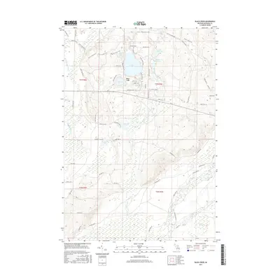
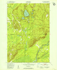 1949 Black Creek1953 Print · USGSUpper Michigan's interior is seen here just after the war, where state forest lands and military training grounds meet. Researchers can trace the path of the Manistee River and locate specific sites like Camp Grayling or the series of Upper Black Lakes.4 unique versions available
 - 1949 Map of Fletcher, 1955 Print
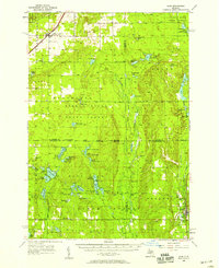
 1949 Fletcher1955 Print · USGSUpper Michigan's glacial interior is revealed here just after the war, showing the early infrastructure of the Camp Grayling area. Genealogists and historians can trace the New York Central tracks, the settlement of Fletcher, and local landmarks like Beaver Creek Cem.
 - 1954 Map of Traverse City, 1965 Print
 1954 Traverse City1965 Print · USGSNorthern Michigan’s vast lakeshores and timberlands are captured here in the mid-fifties, showing the region before the modern interstate era. Genealogists and researchers can trace rail connections like the Detroit and Mackinac RR or find old communities such as Suttons Bay, Elk Rapids, and Prudenville.4 unique versions available
 - 1956 Map of Alba
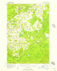
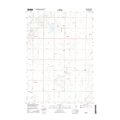
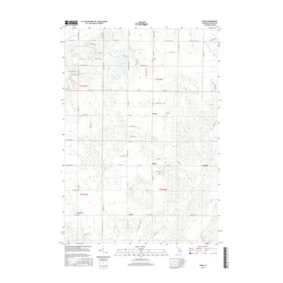
 1956 Alba1956 Print · USGSAntrim and Kalkaska counties are shown here in the mid-1950s, a period when these northern Michigan forests were heavily managed for conservation and recreation. Researchers can trace the Pennsylvania rail line into Alba or locate isolated landmarks like Barnhart Sch and Deward.3 unique versions available
 - 1956 Map of Mancelona, 1957 Print
 1956 Mancelona1957 Print · USGSAntrim and Kalkaska Counties come into focus during the mid-fifties, showing the intersection of the Pennsylvania railroad and the Pigeon River State Forest. Genealogists can trace family roots through several rural burial grounds and schools, including Maple Grove Cem and the Hardy Sch.4 unique versions available
 - 1956 Map of Kalkaska, 1957 Print
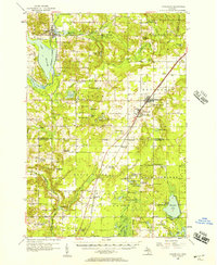
 1956 Kalkaska1957 Print · USGSNorthern Michigan’s timber and rail landscape is captured here in the mid-1950s, centered on the Kalkaska village and the Pennsylvania Railroad. Genealogists can trace rural life through sites like Taffeltown, Excelsior Ch, and the Maplegrove Sch.4 unique versions available
 - 1958 Map of Traverse City
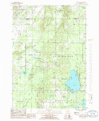
 1958 Traverse City1958 Print · USGSNorthern Lower Michigan was a landscape of vast state forests and burgeoning lakeside retreats in the late fifties. Genealogists and historians can trace the rail corridors of the Ann Arbor RR and find established settlements from Elk Rapids to Houghton Lake.2 unique versions available
 - 1983 Map of Traverse City, 1984 Print
 1983 Traverse City1984 Print · USGSTraverse City and the surrounding bay country are captured in the early eighties as the region balanced its timber heritage with growing conservation. Genealogists and local historians can trace the rail lines of the Ann Arbor RR through settlements like Kingsley and Fife Lake.2 unique versions available
 - 1983 Map of Grayling, 1984 Print
 1983 Grayling1984 Print · USGSIn the early eighties, this Northern Michigan interior was a hub for forestry, military training, and river recreation. Researchers can trace the sprawling boundaries of Camp Grayling and locate historic markers like Hartwick Pines and Otsego Lake.2 unique versions available
 - 1985 Map of Starvation Lake, 1986 Print
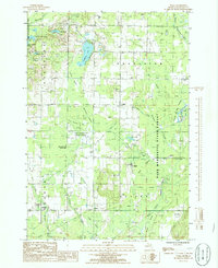
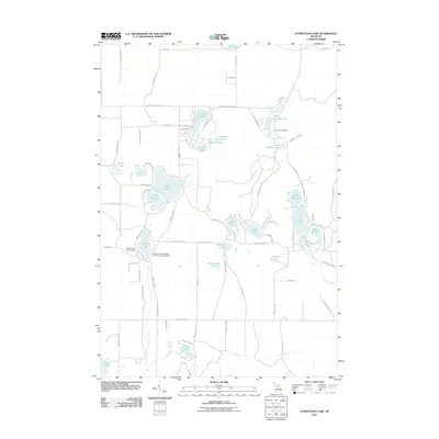
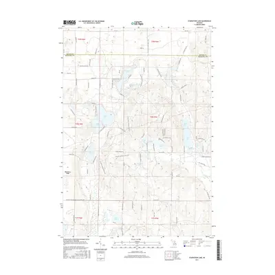
 1985 Starvation Lake1986 Print · USGSNorthern Michigan’s lake country is captured here in the mid-1980s, showcasing a landscape of dense state forests and glacial basins. Trace recreational landmarks and local industrial sites like Camp Flying Eagle, Starvation Lake, and the Pumping Station.
 - 1985 Map of Sigma, 1986 Print
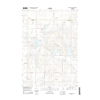
 1985 Sigma1986 Print · USGSKalkaska County's forest and river networks are captured here in the mid-1980s, showcasing a landscape of isolated settlements and winding waterways. Researchers can locate family landmarks like the cemetery near Advent Swamp or trace the early paths through Sigma and O'Neil.
 - 1985 Map of Westwood, 1986 Print
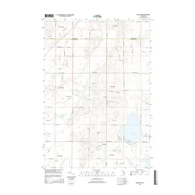
 1985 Westwood1986 Print · USGSKalkaska County in the mid-eighties shows a landscape of deep forests and glacial lakes at the intersection of major state lands. You can trace early transit routes like the Old RR Grade or locate family landmarks near Westwood, Darragh, and Manistee Lake.
 - 1989 Map of Traverse City, 1990 Print
 1989 Traverse City1990 Print · USGSNorthern Michigan’s lake-country and forest lands are captured in the late eighties as seasonal tourism and timber hubs expanded. Genealogists and historians can trace the routes of the Ann Arbor RR, the boundaries of Camp Grayling, and settlements like Elk Rapids and Manton.
 - 2011 Map of Westwood, 2011 Print
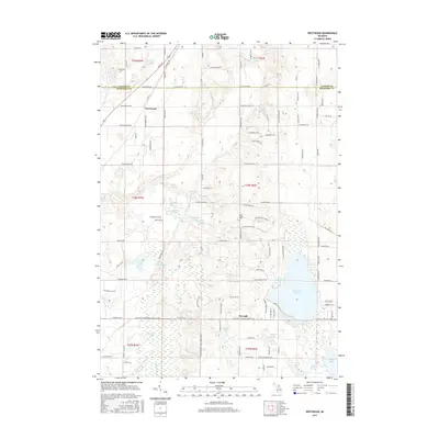
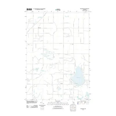 2011 Westwood2011 Print · USGSCovers Excelsior Township, including Custer Township, Coldsprings Township, and other nearby areas
 - 2011 Map of Sigma, 2011 Print
 2011 Sigma2011 Print · USGSCovers Excelsior Township, including Oliver Township, Spencer, and other nearby areas
 - 2011 Map of Starvation Lake, 2011 Print
 2011 Starvation Lake2011 Print · USGSCovers Excelsior Township, including Bear Lake Township, Coldsprings Township, and other nearby areas
 - 2011 Map of Black Creek, 2011 Print
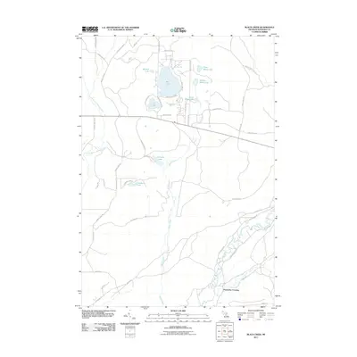 2011 Black Creek2011 Print · USGSCovers Excelsior Township, including Bear Lake Township, Oliver Township, and other nearby areas
 - 2014 Map of Starvation Lake, 2014 Print
 2014 Starvation Lake2014 Print · USGSCovers Excelsior Township, including Bear Lake Township, Coldsprings Township, and other nearby areas
 - 2014 Map of Black Creek, 2014 Print
 2014 Black Creek2014 Print · USGSCovers Excelsior Township, including Bear Lake Township, Oliver Township, and other nearby areas
 - 2014 Map of Sigma, 2014 Print
 2014 Sigma2014 Print · USGSCovers Excelsior Township, including Oliver Township, Spencer, and other nearby areas
 - 2014 Map of Westwood, 2014 Print
 2014 Westwood2014 Print · USGSCovers Excelsior Township, including Custer Township, Coldsprings Township, and other nearby areas
 - 2017 Map of Westwood, 2017 Print
 2017 Westwood2017 Print · USGSCovers Excelsior Township, including Custer Township, Coldsprings Township, and other nearby areas
 - 2017 Map of Sigma, 2017 Print
 2017 Sigma2017 Print · USGSCovers Excelsior Township, including Oliver Township, Spencer, and other nearby areas
 - 2017 Map of Starvation Lake, 2017 Print
 2017 Starvation Lake2017 Print · USGSCovers Excelsior Township, including Bear Lake Township, Coldsprings Township, and other nearby areas
 - 2017 Map of Black Creek, 2017 Print
 2017 Black Creek2017 Print · USGSCovers Excelsior Township, including Bear Lake Township, Oliver Township, and other nearby areas
Showing maps 1-25 of 33
Top cities near Excelsior Township
Top neighborhoods of Excelsior Township
Frequently asked questions
- What are the different types of historical maps available for Excelsior Township?
- What is the oldest map of Excelsior Township?
- Where can I purchase historical maps of Excelsior Township for my home or office?
- Where can I download high-res historical maps of Excelsior Township?
- Are there historical topographic maps available for Excelsior Township?
- Is there historical aerial imagery available for Excelsior Township?
- Where are historical maps of Excelsior Township sourced from?