2000s (21st Century) Maps of Ada Township, Michigan
Explore 20 historic maps of Ada Township from the 2000s (21st Century). These maps offer a rare glimpse into what life looked like during the 2000s — showing old roads, neighborhoods, homes, and landmarks that have changed or disappeared over time.
Whether you're researching your family's past, planning a metal detecting trip, or studying how Ada Township's landscape evolved across the 2000s, these high-resolution maps are a powerful tool for exploring the history of this region.
- Focus on a specific era: All maps on this page are from the 2000s, giving you a focused view of this time period.
- See what’s changed: Compare century-old streets, trails, and buildings to today's modern landscape using overlays and satellite layers.
- Research with precision: Use these maps for genealogy, historical research, land use analysis, or educational projects.
- View, download, or print: Maps are fully viewable online in high resolution, and can be downloaded or printed for your own records.
Start exploring Ada Township's history through authentic maps from the 2000s. This is your window into the past.
Ada Township, MI maps
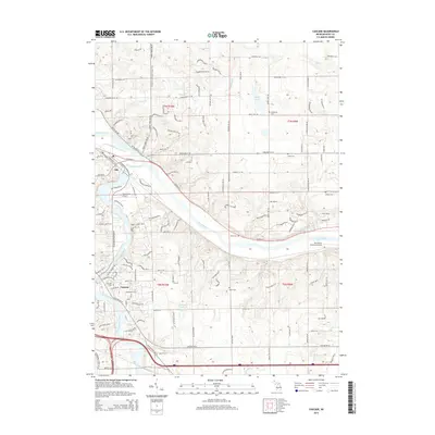
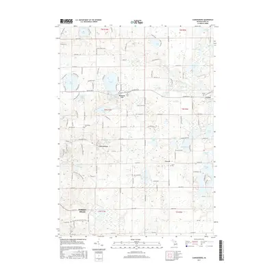
(20)- 2011 Map of Cascade, 2011 Print
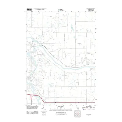 2011 Cascade2011 Print · USGSCovers Ada Township, including Cascade Charter Township, Lowell Charter Township, and other nearby areas
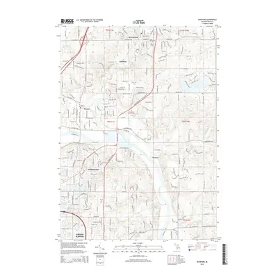
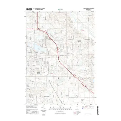
 - 2011 Map of Grand Rapids East, 2011 Print
 2011 Grand Rapids East2011 Print · USGSCovers Ada Township, including Grand Rapids, Kentwood, and other nearby areas
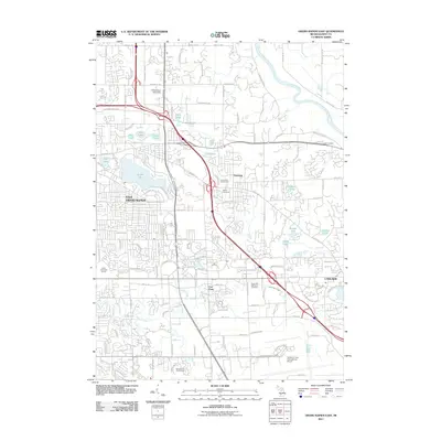
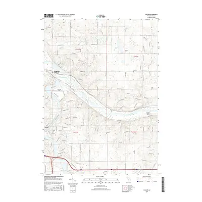
 - 2011 Map of Rockford, 2011 Print
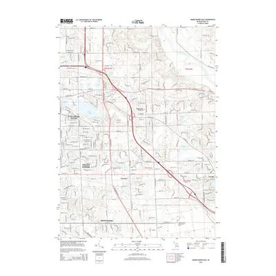
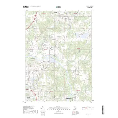
 2011 Rockford2011 Print · USGSCovers Ada Township, including Grand Rapids, Plainfield Charter Township, and other nearby areas
 - 2011 Map of Cannonsburg, 2011 Print
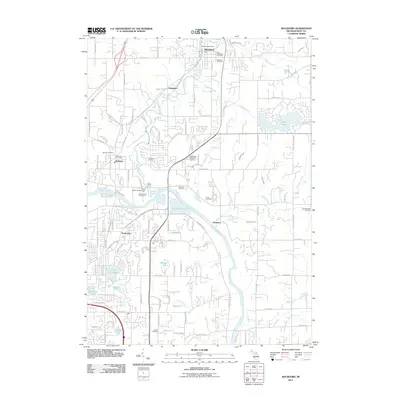
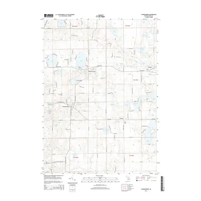
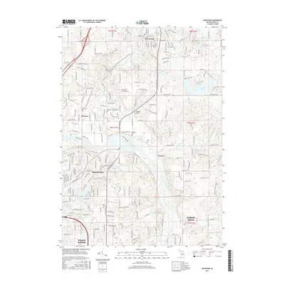
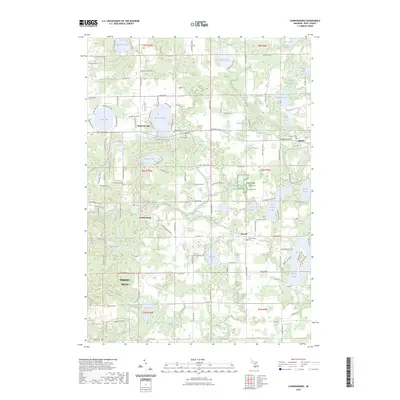
 2011 Cannonsburg2011 Print · USGSCovers Ada Township, including Cannon Township, Vergennes Township, and other nearby areas
 - 2014 Map of Cascade, 2014 Print
 2014 Cascade2014 Print · USGSCovers Ada Township, including Cascade Charter Township, Lowell Charter Township, and other nearby areas
 - 2014 Map of Rockford, 2014 Print
 2014 Rockford2014 Print · USGSCovers Ada Township, including Grand Rapids, Plainfield Charter Township, and other nearby areas
 - 2014 Map of Cannonsburg, 2014 Print
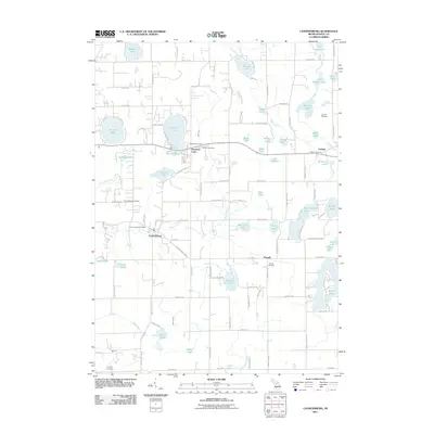
 2014 Cannonsburg2014 Print · USGSCovers Ada Township, including Cannon Township, Vergennes Township, and other nearby areas
 - 2014 Map of Grand Rapids East, 2014 Print
 2014 Grand Rapids East2014 Print · USGSCovers Ada Township, including Grand Rapids, Kentwood, and other nearby areas
 - 2017 Map of Cannonsburg, 2017 Print
 2017 Cannonsburg2017 Print · USGSCovers Ada Township, including Cannon Township, Vergennes Township, and other nearby areas
 - 2017 Map of Cascade, 2017 Print
 2017 Cascade2017 Print · USGSCovers Ada Township, including Cascade Charter Township, Lowell Charter Township, and other nearby areas
 - 2017 Map of Grand Rapids East, 2017 Print
 2017 Grand Rapids East2017 Print · USGSCovers Ada Township, including Grand Rapids, Kentwood, and other nearby areas
 - 2017 Map of Rockford, 2017 Print
 2017 Rockford2017 Print · USGSCovers Ada Township, including Grand Rapids, Plainfield Charter Township, and other nearby areas
 - 2019 Map of Grand Rapids East, 2019 Print
 2019 Grand Rapids East2019 Print · USGSCovers Ada Township, including Grand Rapids, Kentwood, and other nearby areas
 - 2019 Map of Cannonsburg, 2019 Print
 2019 Cannonsburg2019 Print · USGSCovers Ada Township, including Cannon Township, Vergennes Township, and other nearby areas
 - 2019 Map of Rockford, 2019 Print
 2019 Rockford2019 Print · USGSCovers Ada Township, including Grand Rapids, Plainfield Charter Township, and other nearby areas
 - 2019 Map of Cascade, 2019 Print
 2019 Cascade2019 Print · USGSCovers Ada Township, including Cascade Charter Township, Lowell Charter Township, and other nearby areas
 - 2023 Map of Rockford, 2023 Print
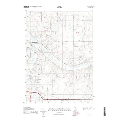
 2023 Rockford2023 Print · USGSThe Rogue River and Grand River valleys north of Grand Rapids are shown in detail as they appeared in the early 2020s. Local researchers can locate numerous historical burial grounds like Rockford Cemetery and Mason Cemetery or trace the Fred Meijer White Pine Trail.
 - 2023 Map of Cannonsburg, 2023 Print
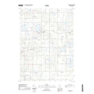
 2023 Cannonsburg2023 Print · USGSNortheast of Grand Rapids, this contemporary view of the Kent County landscape reveals a region defined by its historic hamlets and glacial lakes. Genealogists and local historians can trace burial grounds and early settlements across Parnell, Grattan, and Cannonsburg, while locating family-named sites like Marshall Cem and Bostwick Lake.
 - 2023 Map of Cascade, 2023 Print
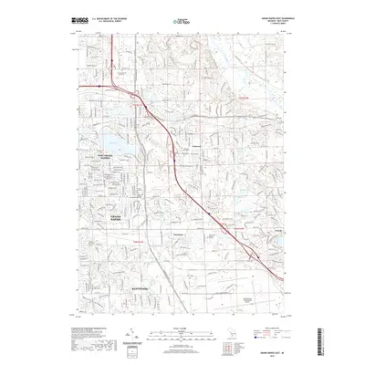
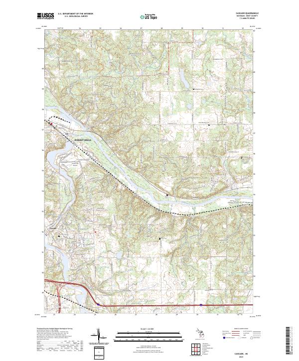 2023 Cascade2023 Print · USGSThe riverfront communities of Ada and Cascade are shown in detail during their modern growth in Kent County. Genealogists can trace family heritage through local burial grounds like Vergennes Cem and Snow Cem, or locate historic local aviation sites such as Somerville Airport.
 - 2023 Map of Grand Rapids East, 2023 Print
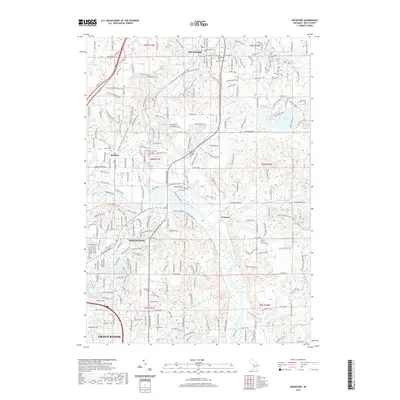
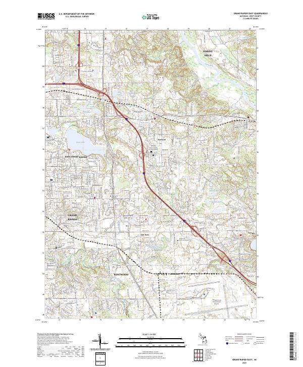 2023 Grand Rapids East2023 Print · USGSThe eastern suburbs of Grand Rapids appear in high detail during this early 2020s survey of Kent County. Researchers can trace the grounds of Cornerstone University, locate family plots at Maple Grove Cem, or study the expansive Gerald R Ford International Airport footprint.
End of results
Showing maps 1-20 of 20
Top cities near Ada Township
- Grand Rapids historical maps
- Wyoming historical maps
- Kentwood historical maps
- Plainfield Charter Township historical maps
- Gaines Charter Township historical maps
- Byron Township historical maps
See more
Top neighborhoods of Ada Township
Frequently asked questions
- What are the different types of historical maps available for Ada Township?
- What is the oldest map of Ada Township?
- Where can I purchase historical maps of Ada Township for my home or office?
- Where can I download high-res historical maps of Ada Township?
- Are there historical topographic maps available for Ada Township?
- Is there historical aerial imagery available for Ada Township?
- Where are historical maps of Ada Township sourced from?