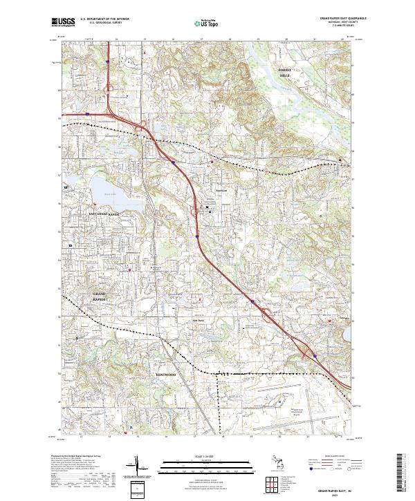
2023 Map of Grand Rapids East
USGS Topo · Published 2023About this map
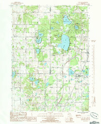
East Grand Rapids and the growing suburban reaches of Kentwood anchor this detailed 2023 survey of Kent County. The landscape is defined by its complex hydrography, featuring prominent glacial lakes like Reeds Lake and Fisk Lake, alongside the meandering course of the Grand River and the varied wetlands of the Saddleback Swamps. This modern data reflects a densely settled educational and institutional corridor, home to Cornerstone University, Calvin University, and the Calvin Theological Seminary.
Find a feature on this map
56 named features on this map. Tap any name to fly to it.
Don’t see what you’re looking for? This feature index may not catch every label — zoom into the map to look around manually.
Map Details
Editions of this 2023 Grand Rapids East Map
This is the sole edition of this map. No revisions or reprints were ever made.
Historical Maps of Ada Township Through Time
15 maps found
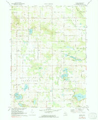
1967 Cedar Springs SW
Kent County, MI
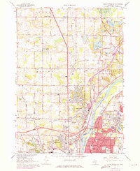
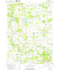
1967 Grand Rapids East
Kent County, MI
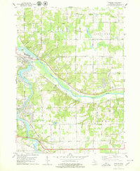
1967 Grand Rapids West
Kent County, MI
1972 Evans
Kent County, MI
1978 Alto
Kent County, MI
1978 Cascade
Kent County, MI
1985 Sand Lake
Kent County, MI
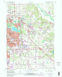
1996 Grand Rapids West
Kent County, MI
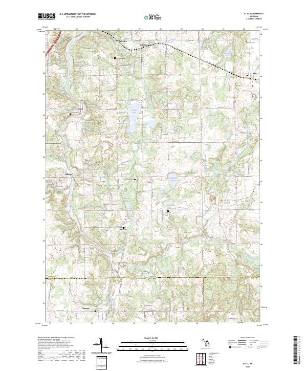
2023 Alto
Kent County, MI
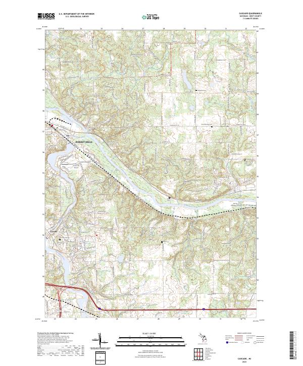
2023 Cascade
Kent County, MI
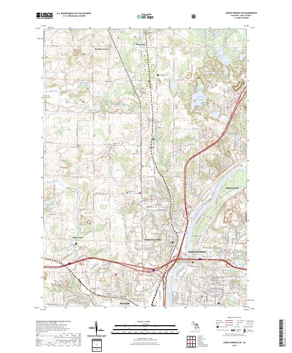
2023 Cedar Springs SW
Kent County, MI
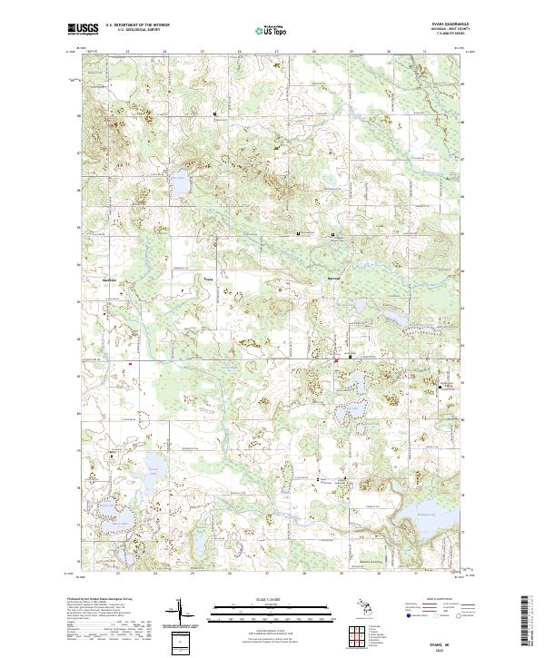
2023 Evans
Kent County, MI
2023 Grand Rapids East
Kent County, MI
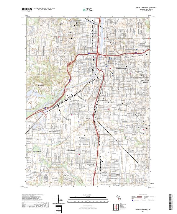
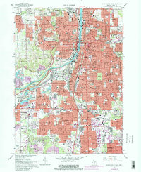
2023 Grand Rapids West
Kent County, MI
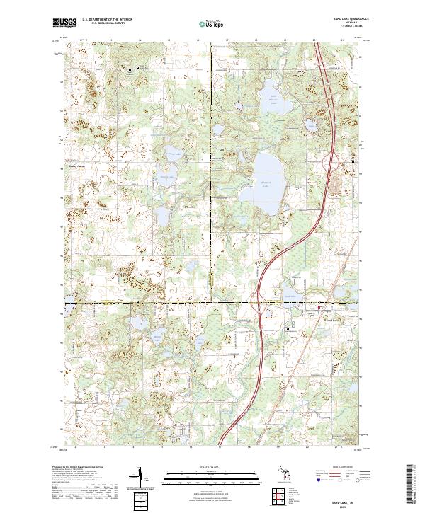
2023 Sand Lake
Kent County, MI