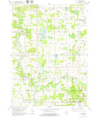
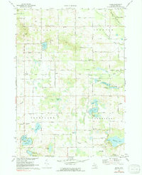
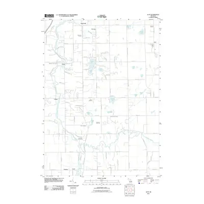
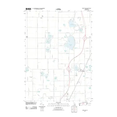
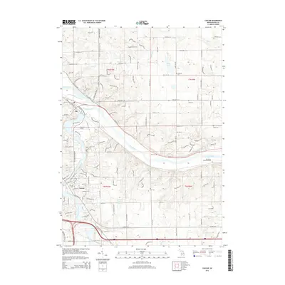
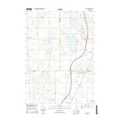
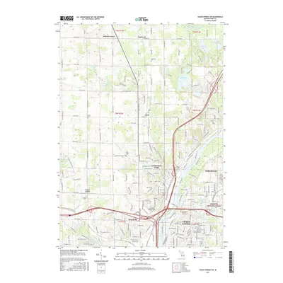
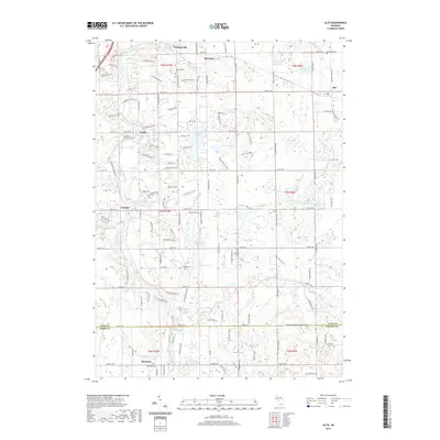
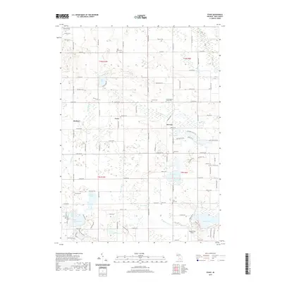
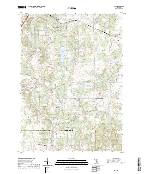
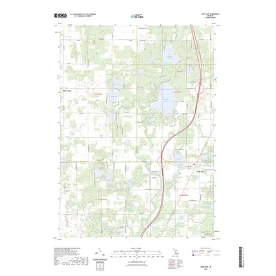
1978 Map of Alto
USGS Topo · Published 1979About this map
The Thornapple River carves a winding path through the western half of this township, anchoring a landscape where agricultural heritage meets mid-century leisure. In the late 1970s, the rural character remains evident through family landmarks like Merriman Cem and the Grange Hall near Whitneyville. Local educational and religious centers, such as Kettle Lake Sch and Whitneyville Ch, serve the surrounding farmsteads and the small settlements of McCords and Alaska.
Find a feature on this map
71 named features on this map. Tap any name to fly to it.
Don’t see what you’re looking for? This feature index may not catch every label — zoom into the map to look around manually.
Map Details
Editions of this 1978 Alto Map
This is the sole edition of this map. No revisions or reprints were ever made.
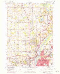
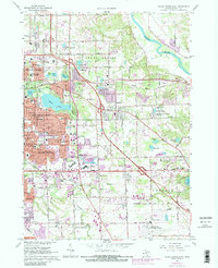
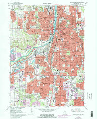
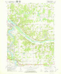
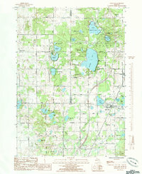
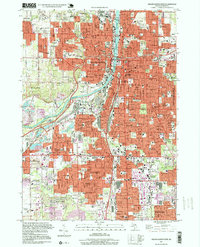
Historical Maps of Cascade Charter Township Through Time
43 maps found
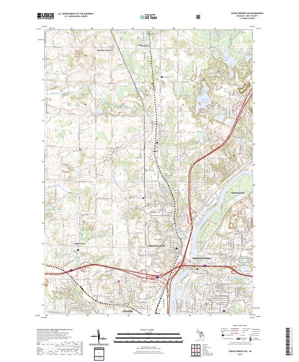
1967 Cedar Springs SW
Kent County, MI
1967 Grand Rapids East
Kent County, MI
1967 Grand Rapids West
Kent County, MI
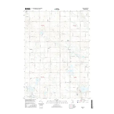
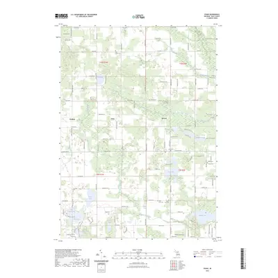
1972 Evans
Kent County, MI
1978 Alto
Kent County, MI
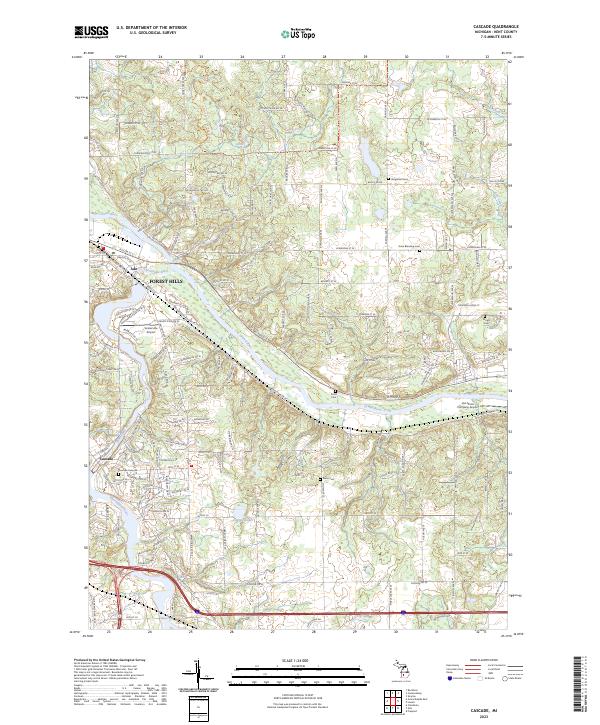
1978 Cascade
Kent County, MI
1985 Sand Lake
Kent County, MI
1996 Grand Rapids West
Kent County, MI
2011 Alto
Kent County, MI
2011 Cascade
Kent County, MI
2011 Cedar Springs SW
Kent County, MI
2011 Evans
Kent County, MI
2011 Grand Rapids East
Kent County, MI
2011 Grand Rapids West
Kent County, MI
2011 Sand Lake
Kent County, MI
2014 Alto
Kent County, MI
2014 Cascade
Kent County, MI
2014 Cedar Springs SW
Kent County, MI
2014 Evans
Kent County, MI
2014 Grand Rapids East
Kent County, MI
2014 Grand Rapids West
Kent County, MI
2014 Sand Lake
Kent County, MI
2017 Alto
Kent County, MI
2017 Cascade
Kent County, MI
2017 Cedar Springs SW
Kent County, MI
2017 Evans
Kent County, MI
2017 Grand Rapids East
Kent County, MI
2017 Grand Rapids West
Kent County, MI
2017 Sand Lake
Kent County, MI
2019 Alto
Kent County, MI
2019 Cascade
Kent County, MI
2019 Cedar Springs SW
Kent County, MI
2019 Evans
Kent County, MI
2019 Grand Rapids East
Kent County, MI
2019 Grand Rapids West
Kent County, MI
2019 Sand Lake
Kent County, MI
2023 Alto
Kent County, MI
2023 Cascade
Kent County, MI
2023 Cedar Springs SW
Kent County, MI
2023 Evans
Kent County, MI
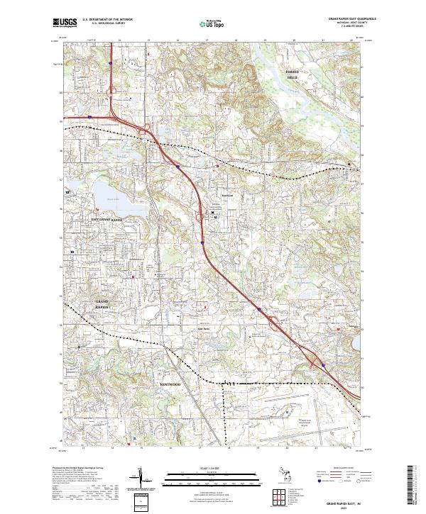
2023 Grand Rapids East
Kent County, MI
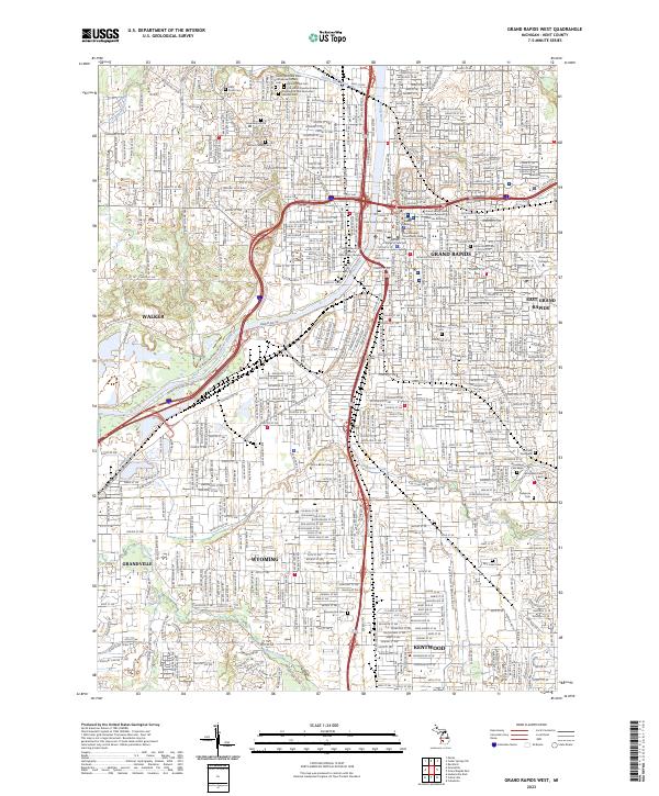
2023 Grand Rapids West
Kent County, MI
2023 Sand Lake
Kent County, MI
Featured Locations
- Cascade Charter Township, MI
- Lowell Charter Township, MI
- Irving Township, MI
- Parmelee, Thornapple Township
- Alto, Bowne Township