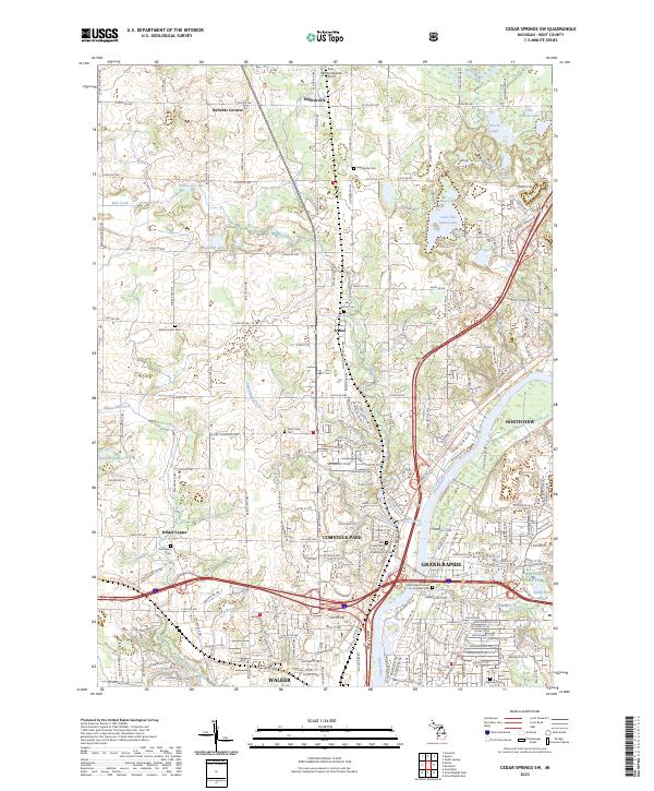
2023 Map of Cedar Springs SW
USGS Topo · Published 2023About this map
The Grand River corridor north of Grand Rapids serves as the focal point for this survey of Kent County. The landscape is a mix of suburban growth and established agricultural pockets, where the Fred Meijer White Pine Trail State Park Trl follows a historic rail alignment through Englishville and Comstock Park. Numerous small water bodies like Little Pine Island Lake and Scott Lake dot the glacial terrain, while the southern portion of the map transitions into the urban fabric of Walker and Northview. Cultural history is well-preserved through a high concentration of cemeteries, ranging from the Grand Rapids Home For Veterans Cem near the river to local burial grounds like Englishville Cem and Pine Grove Cem. A small section of the Manistee National Forest is also present, marking the northern extent of these protected woods.
Find a feature on this map
46 named features on this map. Tap any name to fly to it.
Don’t see what you’re looking for? This feature index may not catch every label — zoom into the map to look around manually.
Map Details
Editions of this 2023 Cedar Springs SW Map
This is the sole edition of this map. No revisions or reprints were ever made.
Other maps of this area

1914 · Grand Rapids
USGS Topo · 1:62,500

1918 · Cedar Springs
USGS Topo · 1:62,500

1943 · Cedar Springs
USGS Topo · 1:62,500

1943 · Grand Rapids
USGS Topo · 1:62,500

1945 · Ravenna
USGS Topo · 1:62,500

1954 · Midland
USGS Topo · 1:250,000

1958 · Midland
USGS Topo · 1:250,000

1958 · Grandville
USGS Topo · 1:62,500

1958 · Grandville
USGS Topo · 1:24,000

1958 · Grand Rapids
USGS Topo · 1:250,000