
1958 Map of Grandville
USGS Topo · Published 1960About this map
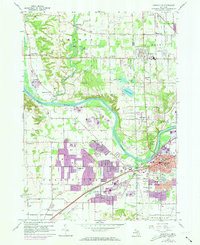
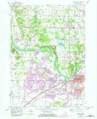
The Grand River snakes through this landscape, defining the boundaries between the developing suburbs of Grandville and the agricultural townships of Tallmadge and Georgetown. Near the end of the 1950s, the area shows a distinct transition from the dense industrial and residential core of Grandville toward more rural settlements like Grand Valley. The Chesapeake and Ohio railroad corridor anchors the southern economy, running parallel to Chicago Drive and supporting a network of Gravel Pits and scattered Oil Wells.
Find a feature on this map
55 named features on this map. Tap any name to fly to it.
Don’t see what you’re looking for? This feature index may not catch every label — zoom into the map to look around manually.
Map Details
Editions of this 1958 Grandville Map
Other maps of this area

1914 · Grand Rapids
USGS Topo · 1:62,500

1918 · Cedar Springs
USGS Topo · 1:62,500

1943 · Cedar Springs
USGS Topo · 1:62,500

1943 · Grand Rapids
USGS Topo · 1:62,500

1945 · Ravenna
USGS Topo · 1:62,500

1954 · Midland
USGS Topo · 1:250,000

1958 · Midland
USGS Topo · 1:250,000

1958 · Allendale
USGS Topo · 1:24,000

1958 · Grandville
USGS Topo · 1:62,500

1958 · Grand Rapids
USGS Topo · 1:250,000