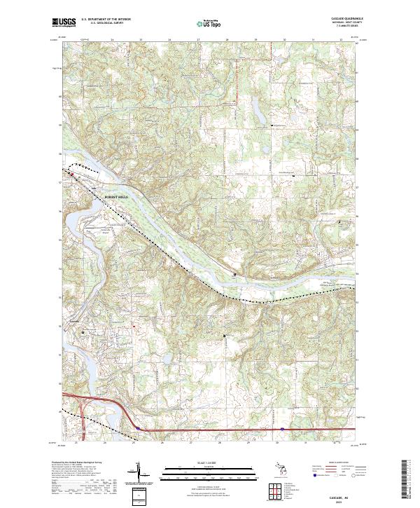
2023 Map of Cascade
USGS Topo · Published 2023About this map
The Grand River and its major tributaries, the Thornapple River and Honey Creek, converge to form a distinct riparian landscape east of Grand Rapids. This modern survey illustrates the suburban development of Forest Hills, Ada, and Cascade while maintaining a clear view of the area's agricultural and aviation history. Local genealogists will find significant value in the distribution of several community burial grounds, including the Vergennes Cem and Krum Blanding Cem. Smaller, family-named sites like Wright Cem and Rolfe Cem are also preserved here.
Find a feature on this map
139 named features on this map. Tap any name to fly to it.
Don’t see what you’re looking for? This feature index may not catch every label — zoom into the map to look around manually.
Map Details
Editions of this 2023 Cascade Map
This is the sole edition of this map. No revisions or reprints were ever made.
Other maps of this area

1914 · Grand Rapids
USGS Topo · 1:62,500

1918 · Cedar Springs
USGS Topo · 1:62,500

1918 · Lowell
USGS Topo · 1:62,500

1943 · Cedar Springs
USGS Topo · 1:62,500

1943 · Grand Rapids
USGS Topo · 1:62,500

1943 · Lowell
USGS Topo · 1:62,500

1954 · Midland
USGS Topo · 1:250,000

1958 · Midland
USGS Topo · 1:250,000

1958 · Grand Rapids
USGS Topo · 1:250,000

1959 · Midland
USGS Topo · 1:250,000
Featured Places
- Cascade Charter Township, MI
- Ada Township, MI
- Lowell Charter Township, MI
- Vergennes Township, MI
- Cascade, Cascade Charter Township