
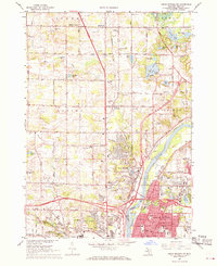
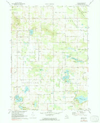
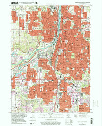
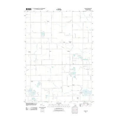
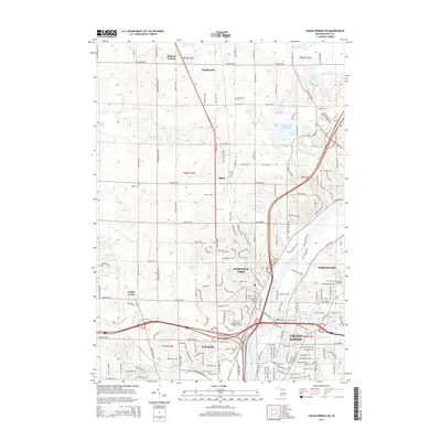
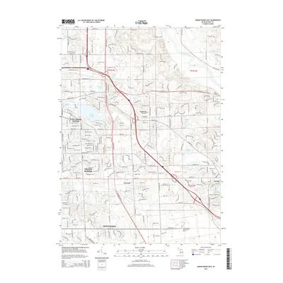
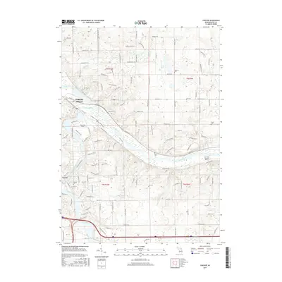
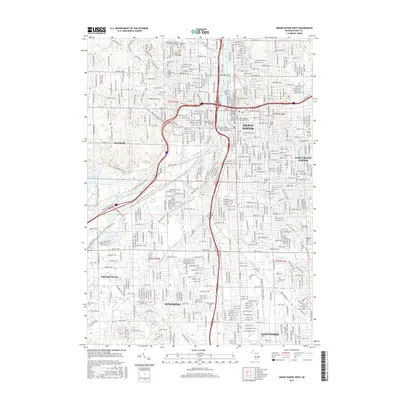
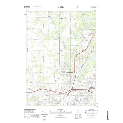
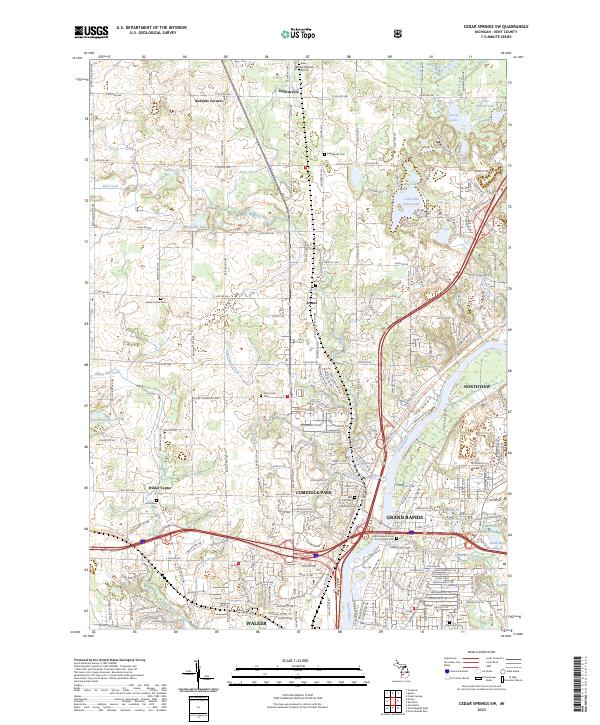
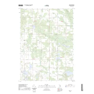
1967 Map of Cedar Springs SW
USGS Topo · Published 1973About this map
The Grand River and the corridors of the Chesapeake and Ohio and Penn Central railroads define the development of Kent County in the late 1960s. The map illustrates a transitional landscape where rural communities like Ballards Corners and Englishville coexist with the northward expansion of Grand Rapids. Significant commercial and suburban growth is visible in purple revisions around Comstock Park and along the numbered routes like 4 Mile Road and 5 Mile Road.
Find a feature on this map
89 named features on this map. Tap any name to fly to it.
Don’t see what you’re looking for? This feature index may not catch every label — zoom into the map to look around manually.
Map Details
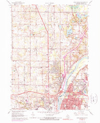
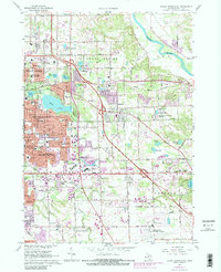
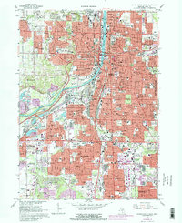
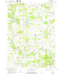
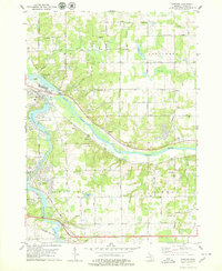
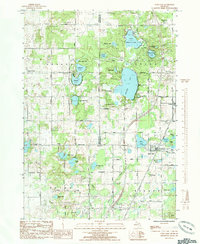
Editions of this 1967 Cedar Springs SW Map
Historical Maps of Grand Rapids Through Time
43 maps found
1967 Cedar Springs SW
Kent County, MI
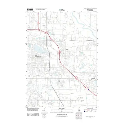
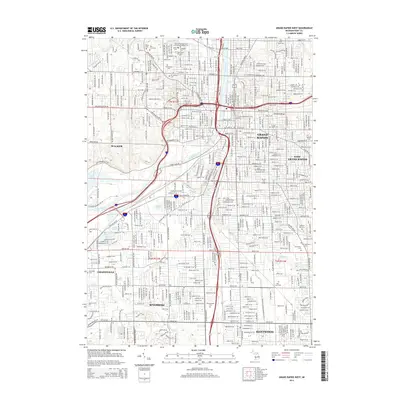
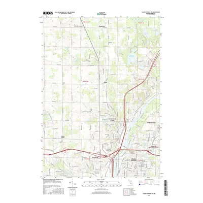
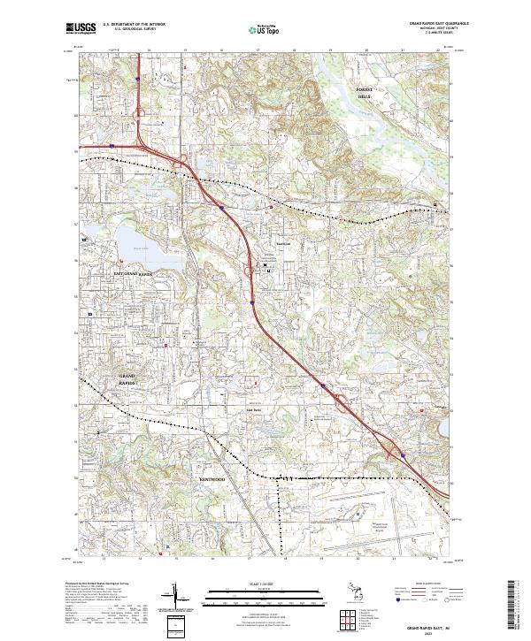
1967 Grand Rapids East
Kent County, MI
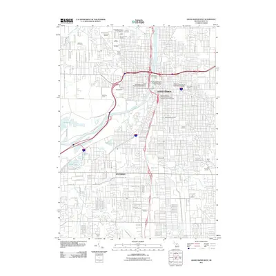
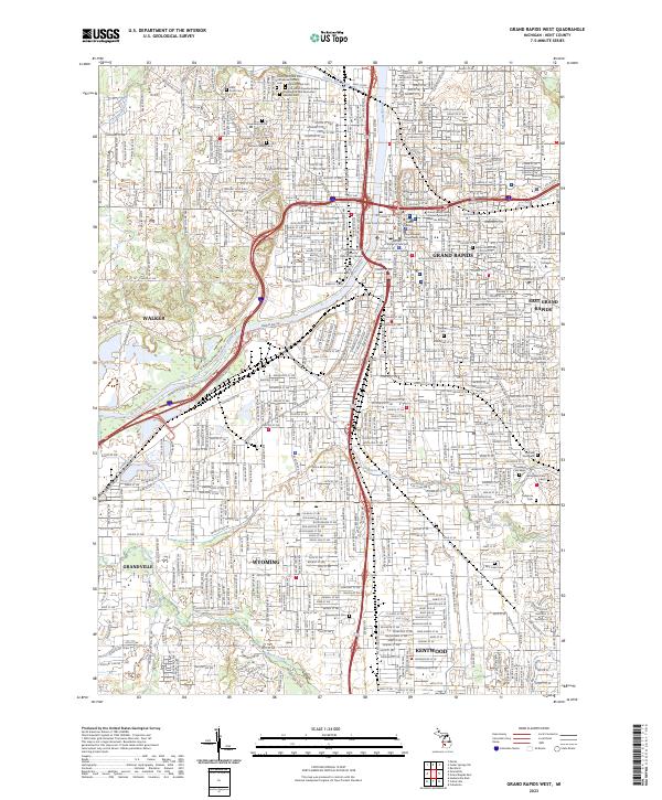
1967 Grand Rapids West
Kent County, MI
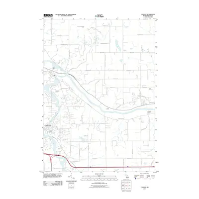
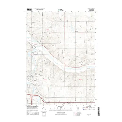
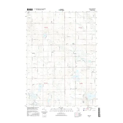
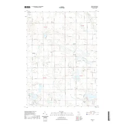
1972 Evans
Kent County, MI
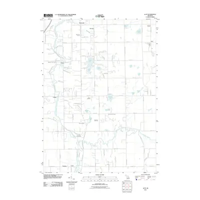
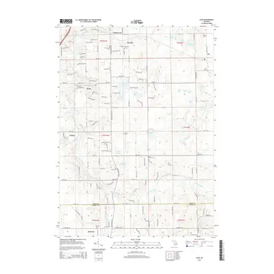
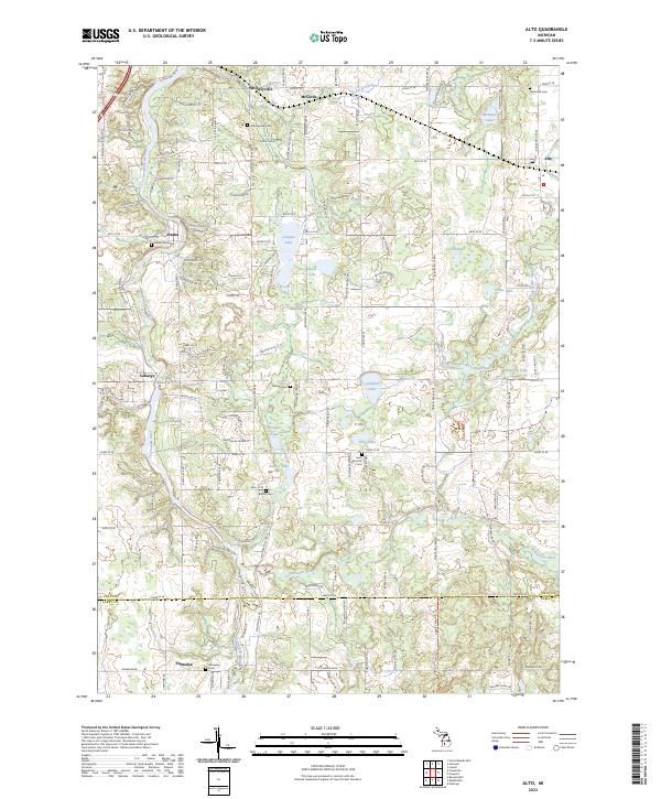
1978 Alto
Kent County, MI
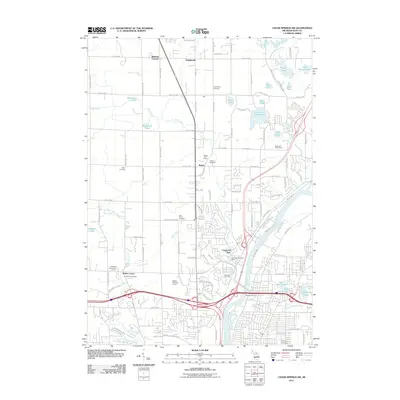
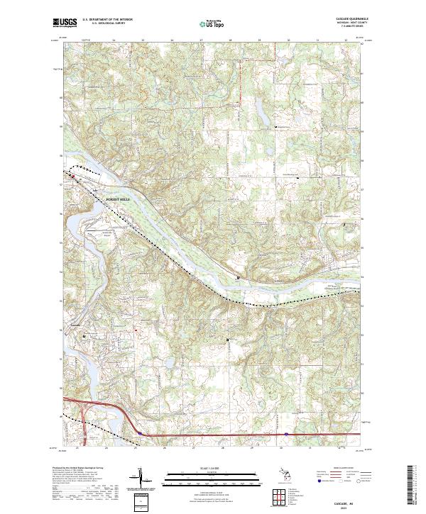
1978 Cascade
Kent County, MI
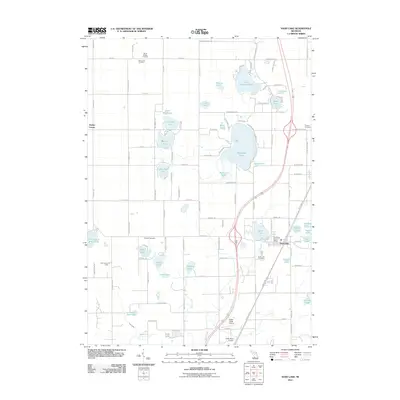
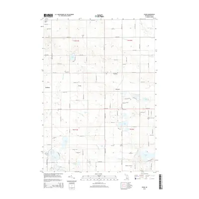
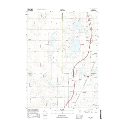
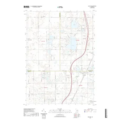
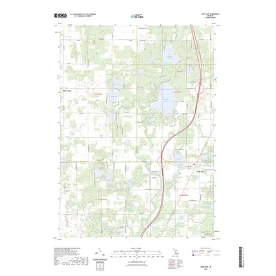
1985 Sand Lake
Kent County, MI
1996 Grand Rapids West
Kent County, MI
2011 Alto
Kent County, MI
2011 Cascade
Kent County, MI
2011 Cedar Springs SW
Kent County, MI
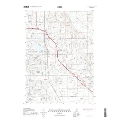
2011 Evans
Kent County, MI
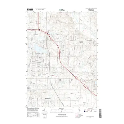
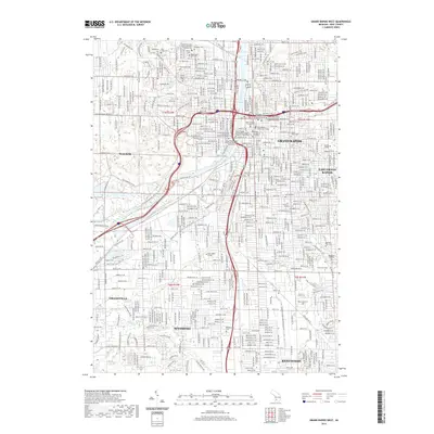
2011 Grand Rapids East
Kent County, MI
2011 Grand Rapids West
Kent County, MI
2011 Sand Lake
Kent County, MI
2014 Alto
Kent County, MI
2014 Cascade
Kent County, MI
2014 Cedar Springs SW
Kent County, MI
2014 Evans
Kent County, MI
2014 Grand Rapids East
Kent County, MI
2014 Grand Rapids West
Kent County, MI
2014 Sand Lake
Kent County, MI
2017 Alto
Kent County, MI
2017 Cascade
Kent County, MI
2017 Cedar Springs SW
Kent County, MI
2017 Evans
Kent County, MI
2017 Grand Rapids East
Kent County, MI
2017 Grand Rapids West
Kent County, MI
2017 Sand Lake
Kent County, MI
2019 Alto
Kent County, MI
2019 Cascade
Kent County, MI
2019 Cedar Springs SW
Kent County, MI
2019 Evans
Kent County, MI
2019 Grand Rapids East
Kent County, MI
2019 Grand Rapids West
Kent County, MI
2019 Sand Lake
Kent County, MI
2023 Alto
Kent County, MI
2023 Cascade
Kent County, MI
2023 Cedar Springs SW
Kent County, MI
2023 Evans
Kent County, MI
2023 Grand Rapids East
Kent County, MI
2023 Grand Rapids West
Kent County, MI
2023 Sand Lake
Kent County, MI
Featured Locations
- Walker, MI
- Grand Rapids, MI
- Alpine Township, MI
- Plainfield Charter Township, MI
- Englishville, Alpine Township