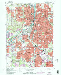
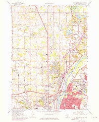
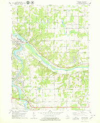
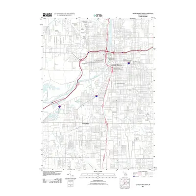
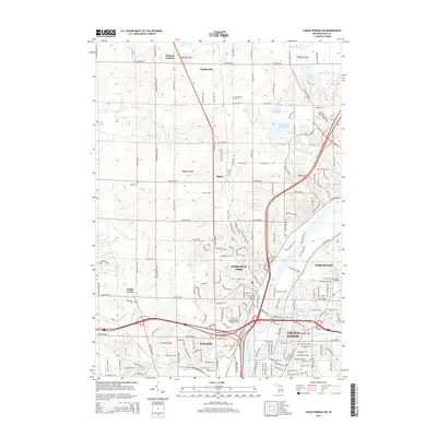
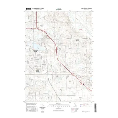
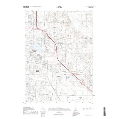
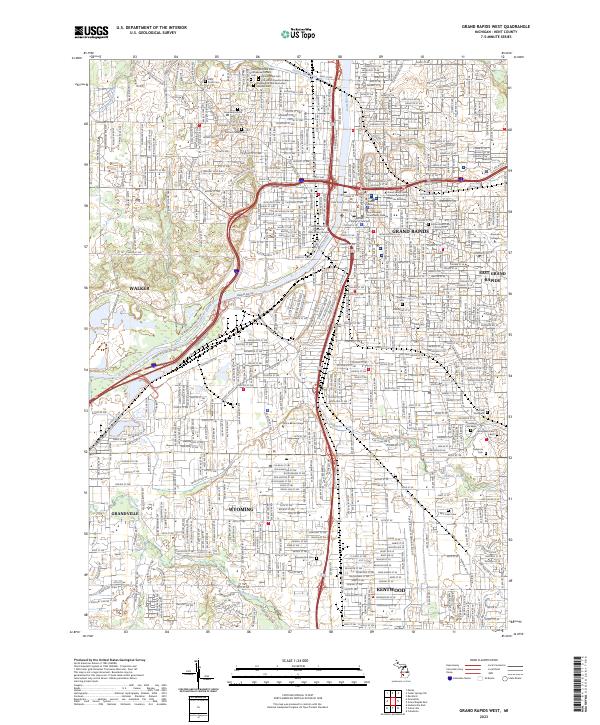
1967 Map of Grand Rapids West
USGS Topo · Published 1982About this map
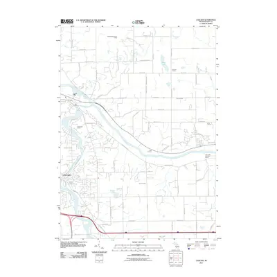
The Grand River carves a deep path through the center of this urban corridor, defining the industrial and civic development of West Michigan in the late 1960s. Dense residential neighborhoods are anchored by a high concentration of parochial institutions, including St Marys Sch, St Adalberts Sch, and the St Joseph Seminary. The landscape shows a city in transition, where the heavy rail lines of Conrail and the Chesapeake and Ohio serve established industrial zones like the Kent Industrial Center.
Find a feature on this map
131 named features on this map. Tap any name to fly to it.
Don’t see what you’re looking for? This feature index may not catch every label — zoom into the map to look around manually.
Map Details
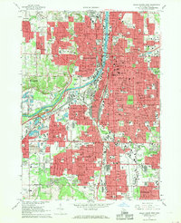
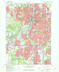
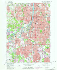
Editions of this 1967 Grand Rapids West Map
4 editions found
Historical Maps of Grand Rapids Through Time
43 maps found
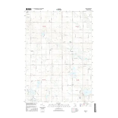
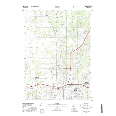
1967 Cedar Springs SW
Kent County, MI
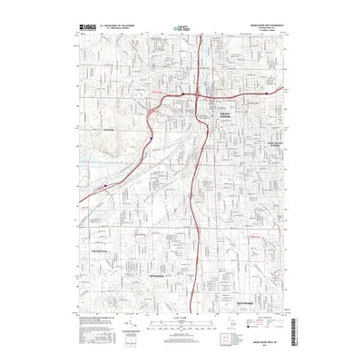
1967 Grand Rapids East
Kent County, MI
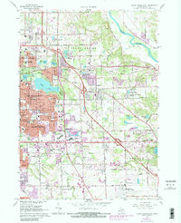
1967 Grand Rapids West
Kent County, MI
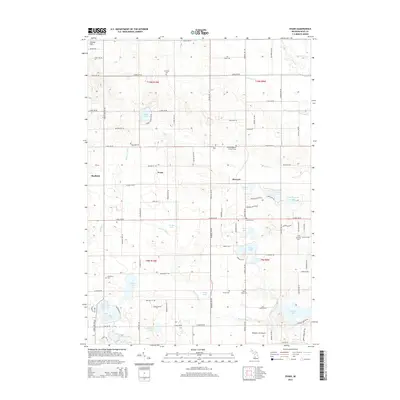
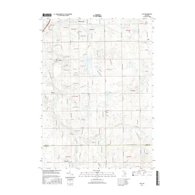
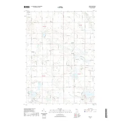
1972 Evans
Kent County, MI
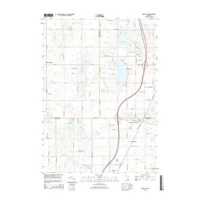
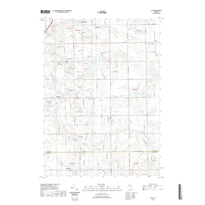
1978 Alto
Kent County, MI
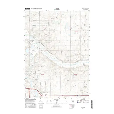
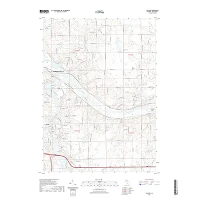
1978 Cascade
Kent County, MI
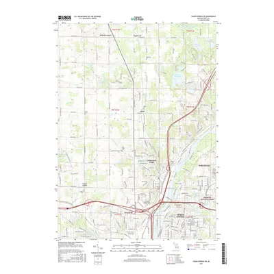
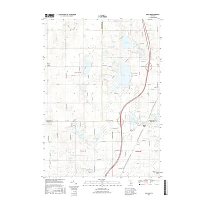
1985 Sand Lake
Kent County, MI
1996 Grand Rapids West
Kent County, MI
2011 Alto
Kent County, MI
2011 Cascade
Kent County, MI
2011 Cedar Springs SW
Kent County, MI
2011 Evans
Kent County, MI
2011 Grand Rapids East
Kent County, MI
2011 Grand Rapids West
Kent County, MI
2011 Sand Lake
Kent County, MI
2014 Alto
Kent County, MI
2014 Cascade
Kent County, MI
2014 Cedar Springs SW
Kent County, MI
2014 Evans
Kent County, MI
2014 Grand Rapids East
Kent County, MI
2014 Grand Rapids West
Kent County, MI
2014 Sand Lake
Kent County, MI
2017 Alto
Kent County, MI
2017 Cascade
Kent County, MI
2017 Cedar Springs SW
Kent County, MI
2017 Evans
Kent County, MI
2017 Grand Rapids East
Kent County, MI
2017 Grand Rapids West
Kent County, MI
2017 Sand Lake
Kent County, MI
2019 Alto
Kent County, MI
2019 Cascade
Kent County, MI
2019 Cedar Springs SW
Kent County, MI
2019 Evans
Kent County, MI
2019 Grand Rapids East
Kent County, MI
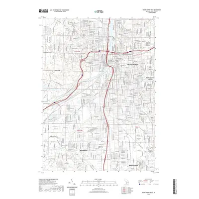
2019 Grand Rapids West
Kent County, MI
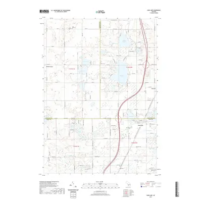
2019 Sand Lake
Kent County, MI
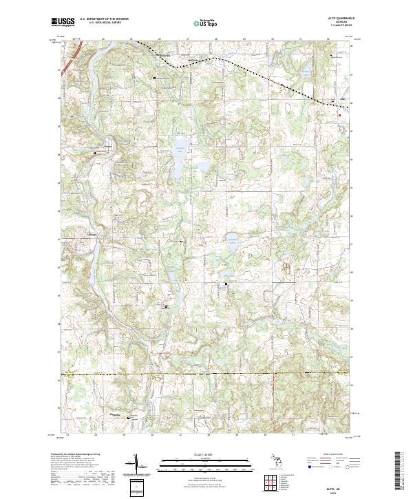
2023 Alto
Kent County, MI
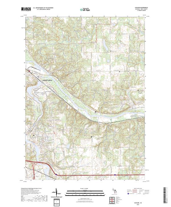
2023 Cascade
Kent County, MI
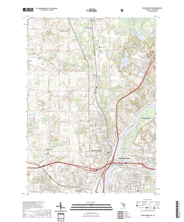
2023 Cedar Springs SW
Kent County, MI
2023 Evans
Kent County, MI
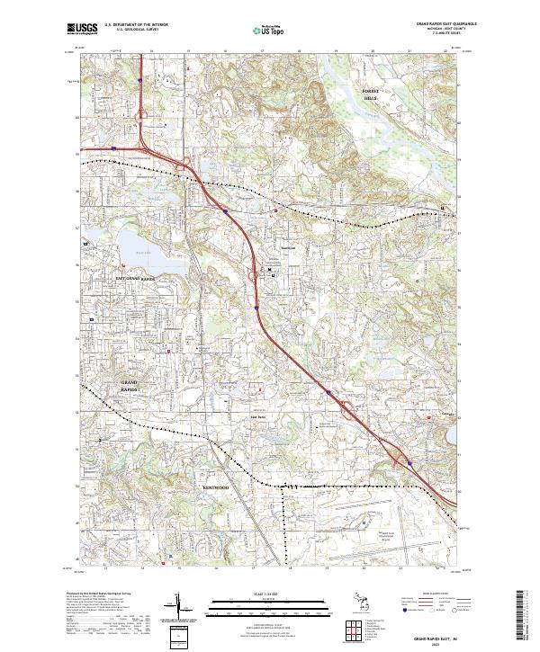
2023 Grand Rapids East
Kent County, MI
2023 Grand Rapids West
Kent County, MI
2023 Sand Lake
Kent County, MI