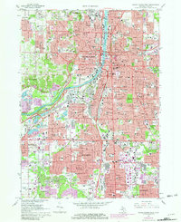
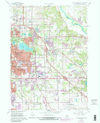
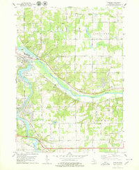
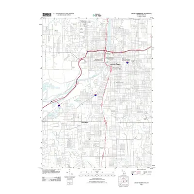
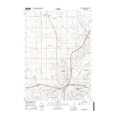
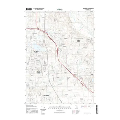
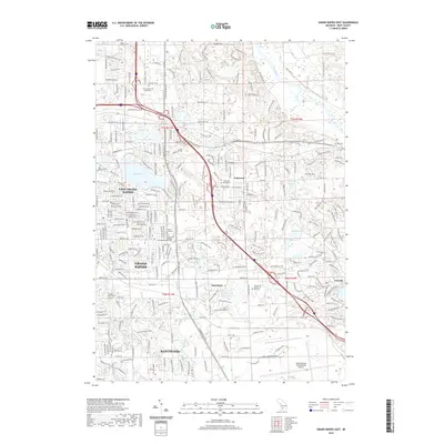
1967 Map of Grand Rapids West
USGS Topo · Published 1981About this map
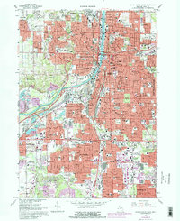
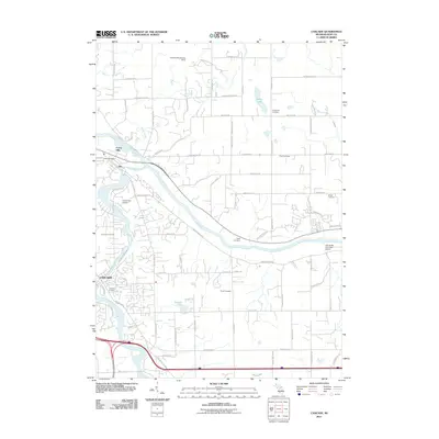
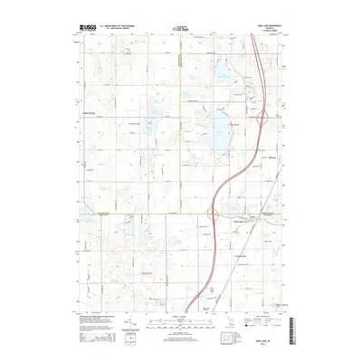
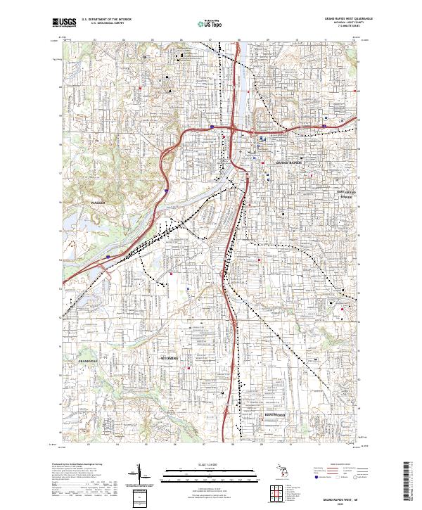
The Grand River carves through the heart of Grand Rapids, serving as the central axis for this mid-century urban landscape. The 1967 survey, with purple-tinted updates from the early 1980s, reveals a dense network of civic and religious institutions, from Aquinas College to numerous parochial schools like St Adalberts Sch and Sacred Heart Sch. Industry and infrastructure are prominent along the river and rail corridors, including the Kent Industrial Center and the extensive Chesapeake and Ohio rail lines. To the west and south, the growth of Walker and Wyoming is marked by expanding residential blocks and the presence of significant open spaces like John Ball Park and Lamar Park. Large historic burial grounds, such as Oak Hill Cemetery and Woodlawn Cemetery, anchor the eastern sections of the city, while the evolving highway system, including Interstate 196, signals the shifting transportation patterns of the post-war era.
Find a feature on this map
119 named features on this map. Tap any name to fly to it.
Don’t see what you’re looking for? This feature index may not catch every label — zoom into the map to look around manually.
Map Details
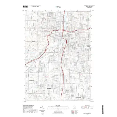
Editions of this 1967 Grand Rapids West Map
4 editions found
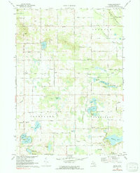
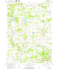
Historical Maps of Grand Rapids Through Time
43 maps found
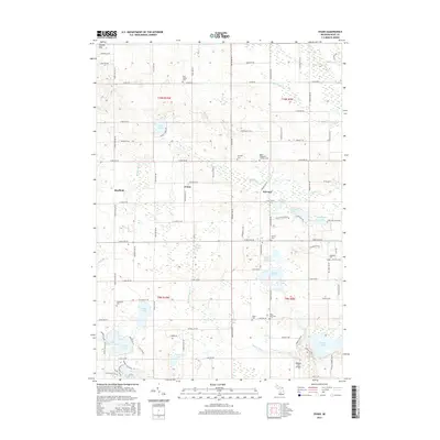
1967 Cedar Springs SW
Kent County, MI
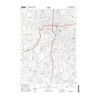
1967 Grand Rapids East
Kent County, MI
1967 Grand Rapids West
Kent County, MI
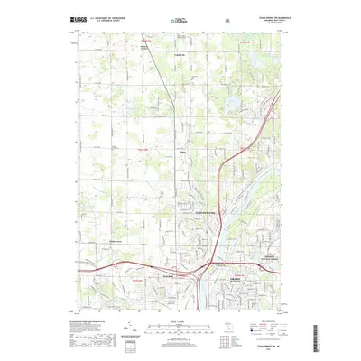
1972 Evans
Kent County, MI
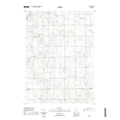
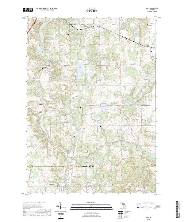
1978 Alto
Kent County, MI
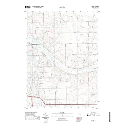
1978 Cascade
Kent County, MI
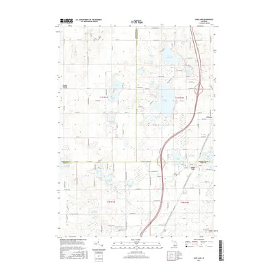
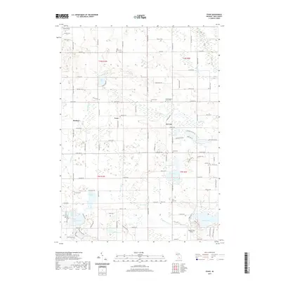
1985 Sand Lake
Kent County, MI
1996 Grand Rapids West
Kent County, MI
2011 Alto
Kent County, MI
2011 Cascade
Kent County, MI
2011 Cedar Springs SW
Kent County, MI
2011 Evans
Kent County, MI
2011 Grand Rapids East
Kent County, MI
2011 Grand Rapids West
Kent County, MI
2011 Sand Lake
Kent County, MI
2014 Alto
Kent County, MI
2014 Cascade
Kent County, MI
2014 Cedar Springs SW
Kent County, MI
2014 Evans
Kent County, MI
2014 Grand Rapids East
Kent County, MI
2014 Grand Rapids West
Kent County, MI
2014 Sand Lake
Kent County, MI
2017 Alto
Kent County, MI
2017 Cascade
Kent County, MI
2017 Cedar Springs SW
Kent County, MI
2017 Evans
Kent County, MI
2017 Grand Rapids East
Kent County, MI
2017 Grand Rapids West
Kent County, MI
2017 Sand Lake
Kent County, MI
2019 Alto
Kent County, MI
2019 Cascade
Kent County, MI
2019 Cedar Springs SW
Kent County, MI
2019 Evans
Kent County, MI
2019 Grand Rapids East
Kent County, MI
2019 Grand Rapids West
Kent County, MI
2019 Sand Lake
Kent County, MI
2023 Alto
Kent County, MI
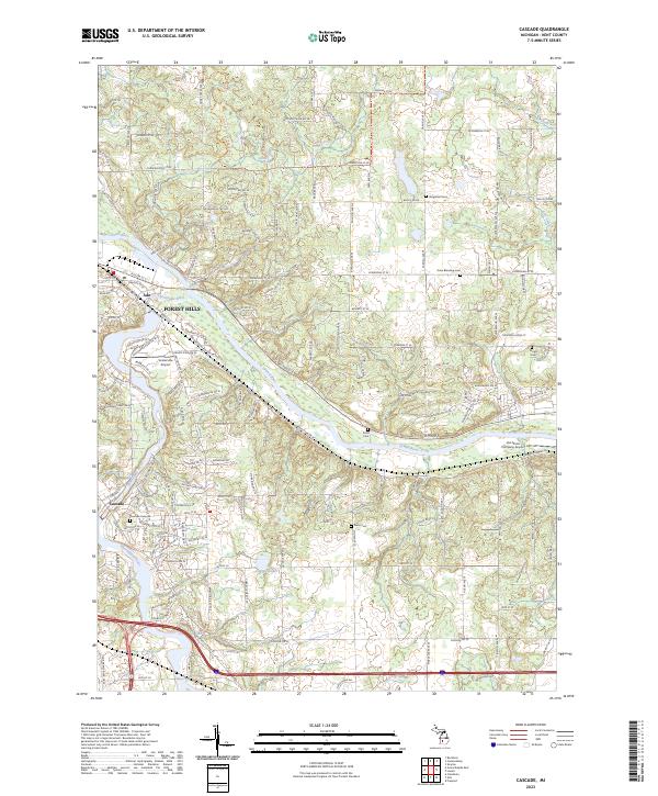
2023 Cascade
Kent County, MI
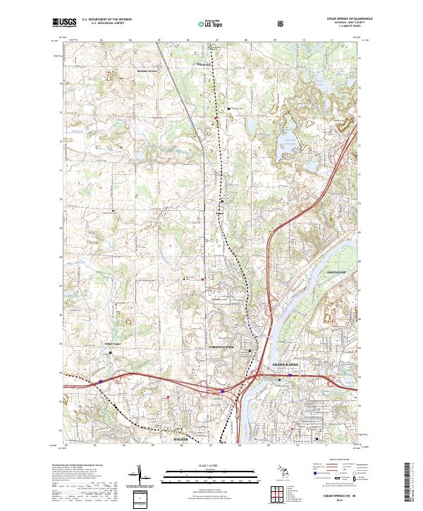
2023 Cedar Springs SW
Kent County, MI
2023 Evans
Kent County, MI
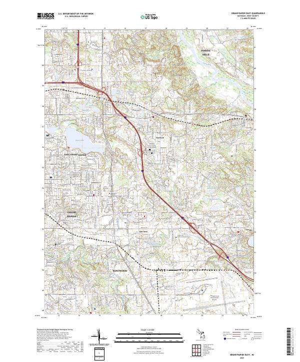
2023 Grand Rapids East
Kent County, MI
2023 Grand Rapids West
Kent County, MI
2023 Sand Lake
Kent County, MI