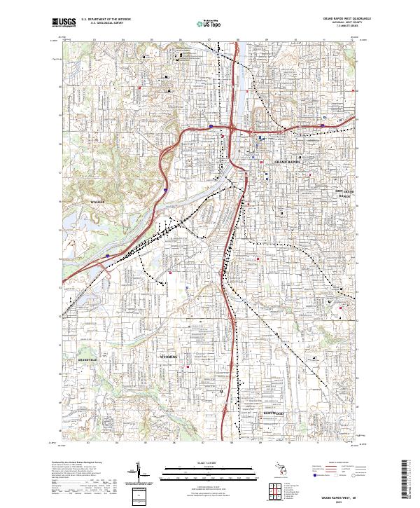
2023 Map of Grand Rapids West
USGS Topo · Published 2023About this map
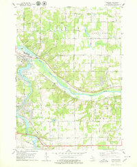
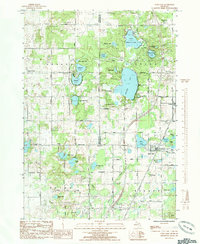
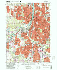
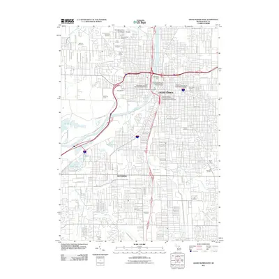
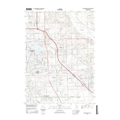
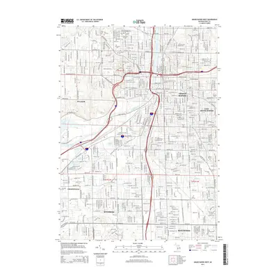
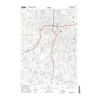
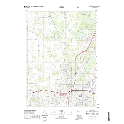
The Grand River carves through the heart of Grand Rapids, serving as the central axis for a densely developed urban and suburban landscape. This modern survey illustrates the contiguous growth of the surrounding cities, including Walker, Wyoming, and Kentwood. The map is particularly rich in institutional and community landmarks, documenting the concentration of higher education such as the Grand Valley State University Downtown Campus, Aquinas College, and Grand Rapids Community College.
Find a feature on this map
47 named features on this map. Tap any name to fly to it.
Don’t see what you’re looking for? This feature index may not catch every label — zoom into the map to look around manually.
Map Details
Editions of this 2023 Grand Rapids West Map
This is the sole edition of this map. No revisions or reprints were ever made.
Historical Maps of Grand Rapids Through Time
43 maps found
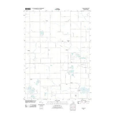
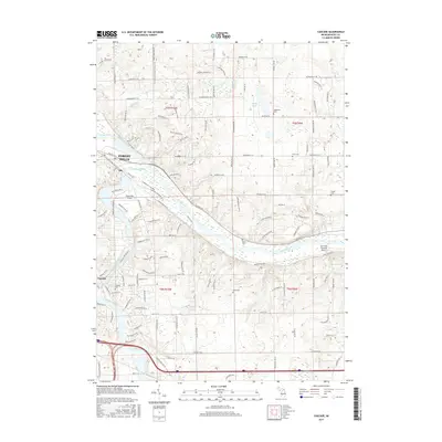
1967 Cedar Springs SW
Kent County, MI
1967 Grand Rapids East
Kent County, MI
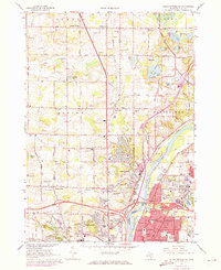
1967 Grand Rapids West
Kent County, MI
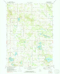
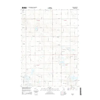
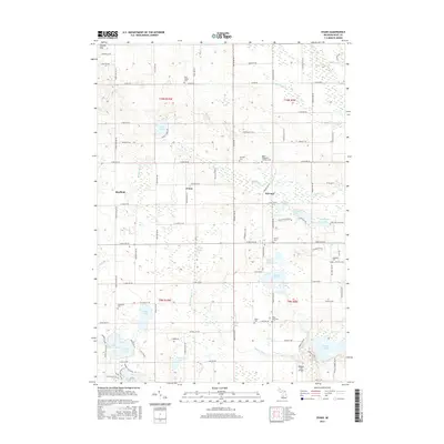
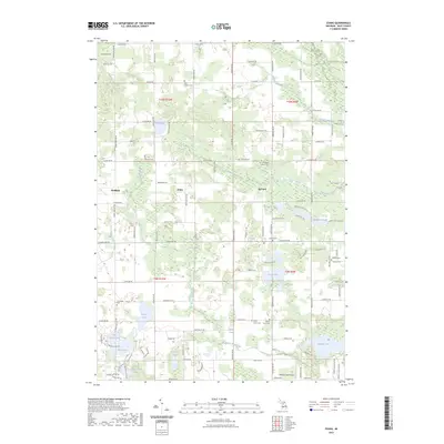
1972 Evans
Kent County, MI
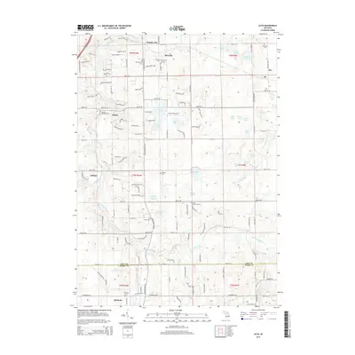
1978 Alto
Kent County, MI
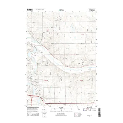
1978 Cascade
Kent County, MI
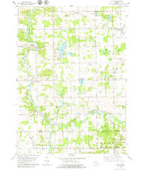
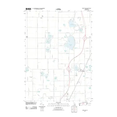
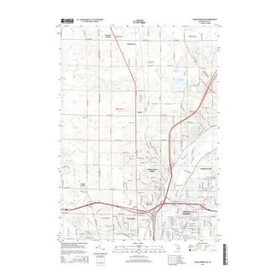
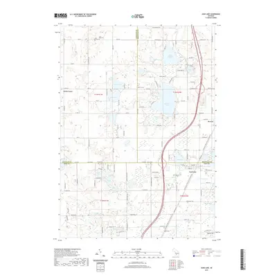
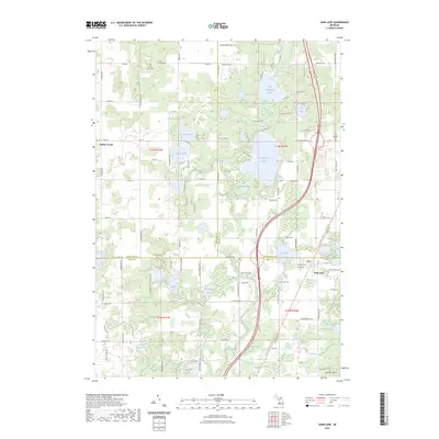
1985 Sand Lake
Kent County, MI
1996 Grand Rapids West
Kent County, MI
2011 Alto
Kent County, MI
2011 Cascade
Kent County, MI
2011 Cedar Springs SW
Kent County, MI
2011 Evans
Kent County, MI
2011 Grand Rapids East
Kent County, MI
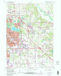
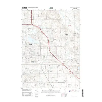
2011 Grand Rapids West
Kent County, MI
2011 Sand Lake
Kent County, MI
2014 Alto
Kent County, MI
2014 Cascade
Kent County, MI
2014 Cedar Springs SW
Kent County, MI
2014 Evans
Kent County, MI
2014 Grand Rapids East
Kent County, MI
2014 Grand Rapids West
Kent County, MI
2014 Sand Lake
Kent County, MI
2017 Alto
Kent County, MI
2017 Cascade
Kent County, MI
2017 Cedar Springs SW
Kent County, MI
2017 Evans
Kent County, MI
2017 Grand Rapids East
Kent County, MI
2017 Grand Rapids West
Kent County, MI
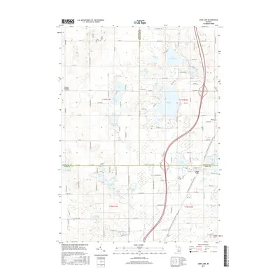
2017 Sand Lake
Kent County, MI
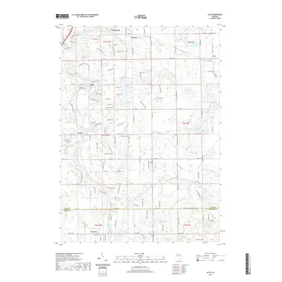
2019 Alto
Kent County, MI
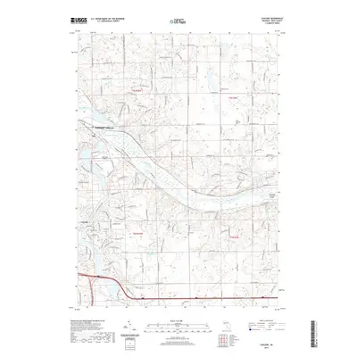
2019 Cascade
Kent County, MI
2019 Cedar Springs SW
Kent County, MI
2019 Evans
Kent County, MI
2019 Grand Rapids East
Kent County, MI
2019 Grand Rapids West
Kent County, MI
2019 Sand Lake
Kent County, MI
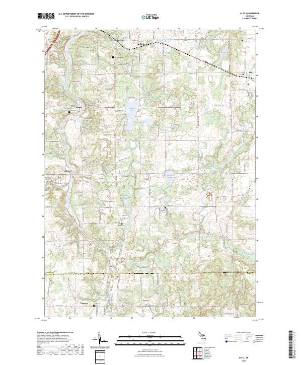
2023 Alto
Kent County, MI
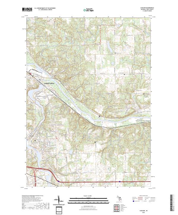
2023 Cascade
Kent County, MI
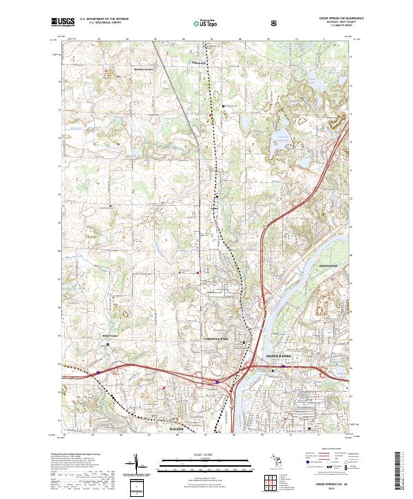
2023 Cedar Springs SW
Kent County, MI
2023 Evans
Kent County, MI
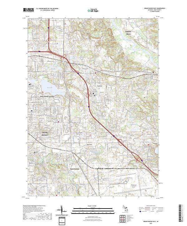
2023 Grand Rapids East
Kent County, MI
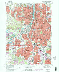
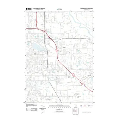
2023 Grand Rapids West
Kent County, MI
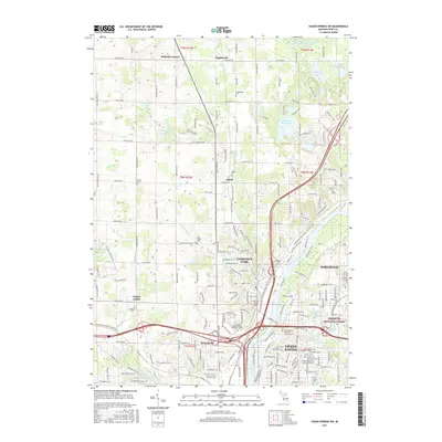
2023 Sand Lake
Kent County, MI