Old Maps of Lake Township, Michigan for Academic Research
Study the evolution of Lake Township with 42 high-resolution historic maps. Whether you're teaching, researching, or modeling changes in land use, these maps provide essential visual documentation of urban, environmental, and geographic change.
- Analyze long-term change: Track patterns in development, transportation, and natural features.
- Ideal for environmental or urban studies: Support academic projects with primary historical map data.
- Use in the classroom or lab: Educators and researchers rely on these maps to bring historical context to life.
These maps are a powerful tool for teaching, research, and visualizing how Lake Township has changed over the decades.
Lake Township, MI maps
(42)- 1931 Map of Baldwin NW
 1931 Baldwin NW1931 Print · USGSLake County's timber and river country is captured here in the early thirties, just as federal forest management was taking hold. Researchers can locate the settlement of Wingleton, the local Town Hall, and the original path of U S Highway No 10.
 - 1931 Map of Custer NE
 1931 Custer NE1931 Print · USGSMason County in the early 1930s is a landscape of winding rivers and country schoolhouses. Genealogists and local historians can trace the foundations of Tallman and Walhalla, or locate landmarks like the Dunbar Fire Tower and the Swedish Settlement Sch.
 - 1931 Map of Custer SE
 1931 Custer SE1931 Print · USGSThe rural borderlands of Mason and Oceana counties are captured here in the early 1930s, showing a landscape of small farmsteads and wetlands. Genealogists can locate family-named landmarks like Carr Sch and Waddell Sch or trace the South Branch Pere Marquette River.
 - 1954 Map of Milwaukee, 1967 Print
 1954 Milwaukee1967 Print · USGSCoastal life and maritime commerce across Lake Michigan are seen here during the mid-fifties, bridging Wisconsin's industrial hubs and Michigan's timberlands. Genealogists and historians can trace the rail lines of the Grand Trunk Western and find long-established ports like Ludington, Port Washington, and Muskegon.3 unique versions available
 - 1954 Map of Midland, 1967 Print
 1954 Midland1967 Print · USGSMid-Michigan at the peak of the post-war era shows a landscape balancing industrial growth in Midland with the deep timberlands of the Manistee National Forest. Researchers can trace the legacy of the timber and rail era along the Pennsylvania RR or find family roots in river towns like Chesaning and Big Rapids.4 unique versions available
 - 1958 Map of Midland
 1958 Midland1958 Print · USGSCentral Michigan in the late fifties is captured here during a period of transition for its university towns and industrial hubs. Genealogists and researchers can trace family lines through old rail-stop towns like Breckenridge and Chesaning or locate property near the Muskegon River and Prairie Farm.
 - 1958 Map of Milwaukee
 1958 Milwaukee1958 Print · USGSThe shorelines of Lake Michigan in the late fifties reveal a landscape of bustling ferry ports and growing industrial suburbs. Genealogists and historians can trace rail networks like the Chesapeake & Ohio and locate landmarks such as Little Sable Point and Holy Cross Church.
 - 1959 Map of Midland
 1959 Midland1959 Print · USGSMid-century Michigan comes alive in this survey of the central Lower Peninsula, from the streets of Grand Rapids to the Houghton Lake timberlands. Genealogists and rail fans can trace the Ann Arbor RR and Chesapeake and Ohio RR through towns like Big Rapids and Mount Pleasant.
 - 1959 Map of Baldwin, 1960 Print
 1959 Baldwin1960 Print · USGSLake County at the end of the fifties was a landscape of dense timber and quiet lakeside settlements. Genealogists and historians can trace old homesteads near Walkers Corners, locate Oaklawn Cem, and follow the Chesapeake and Ohio Railroad through Idlewild.4 unique versions available
 - 1959 Map of Custer, 1960 Print
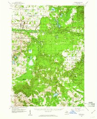 1959 Custer1960 Print · USGSIn the late fifties, the central Michigan woods around Custer were a landscape of deep national forest and active rail lines. Genealogists and local historians can trace family locations near Crystal Valley, old rural schoolhouses like Elmwood Sch, and several remote Gravel Pits.3 unique versions available
 - 1966 Map of Midland
 1966 Midland1966 Print · USGSCentral Michigan in the mid-1960s shows a landscape of growing manufacturing hubs and active resource extraction. Genealogists and historians can trace the rail corridors of the Grand Trunk Western or locate family-named landmarks near Oil wells and the Muskegon River.
 - 1976 Map of Baldwin NW
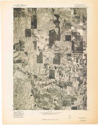 1976 Baldwin NW1976 Print · USGSNorthwestern Lake County appears in high-altitude detail during the mid-1970s, showcasing the region's dense timberlands. Local historians and land researchers can trace the intricate, winding course of the Pere Marquette River and the distinct patterns of forest clearings.
 - 1976 Map of Custer NE
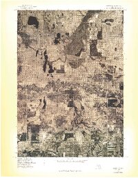 1976 Custer NE1976 Print · USGSMason County forest and farmland appear in striking aerial detail during the mid-1970s. Genealogists and local historians can trace property boundaries and river access points near Tallman, Walhalla, and the winding Pere Marquette River.
 - 1976 Map of Custer SE
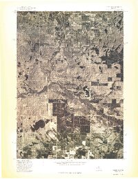 1976 Custer SE1976 Print · USGSCovers Lake Township, including Carr, Logan Township, and other nearby areas
 - 1976 Map of Baldwin SW
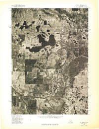 1976 Baldwin SW1976 Print · USGSMid-seventies Lake County comes into focus in this detailed orthophoto showing the transition between dense northern woodlands and developed lakefronts. Researchers can trace the complex shoreline of Big Star Lake and the winding course of the Pere Marquette River.
 - 1983 Map of Ludington, 1984 Print
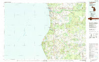 1983 Ludington1984 Print · USGSThe Michigan shoreline during the early eighties comes alive in this survey of the dunes and woodlands. Trace the Chesapeake and Ohio rail route through Ludington and Hart, or find family landmarks like Meisenheimer Corners and Wiley.
 - 1984 Map of Big Rapids
 1984 Big Rapids1984 Print · USGSMid-Michigan in the mid-eighties shows a balance of deep-woods conservation and riverfront industry centered on the Muskegon River. Genealogists and historians can trace rail-town development along the Chesapeake and Ohio or locate family sites near Idlewild, Reed City, and Forest Hill Cem.
 - 1987 Map of Big Star Lake
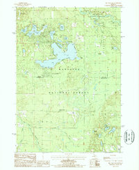 1987 Big Star Lake1987 Print · USGSThe Lake County and Newaygo County borderlands in the 1980s show a landscape shaped by glacial waters and forestry. Local historians can trace the Old RR Grade and explore the developing seasonal communities at Pine Grove Beach and Walkers Corners.
 - 1987 Map of Townsend Lake
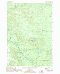 1987 Townsend Lake1987 Print · USGSLake County's timberlands and river valleys are captured here in the 1980s as part of the sprawling Manistee National Forest. Genealogists and outdoor historians can trace the paths around Wingleton, Kinney, and the Pere Marquette River.
 - 1987 Map of Carr, 1988 Print
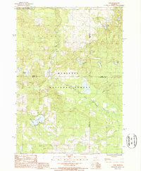 1987 Carr1988 Print · USGSThe northern reaches of the Manistee National Forest appear here in the late eighties, where four Michigan counties meet. Local researchers can trace old river-bottom landmarks and small settlements like Carr, Ruby, and the wetlands of Darkeys Marsh.
 - 1987 Map of Tallman, 1988 Print
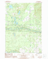 1987 Tallman1988 Print · USGSThe Mason County woodlands during the late 1980s reveal a landscape of secluded glacial lakes and timbered forest. Genealogists and local historians can trace the lakeside settlements of Tallman and Walhalla or follow the path of the Pere Marquette National Scenic River.
 - 1991 Map of Big Rapids
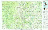 1991 Big Rapids1991 Print · USGSWest Michigan’s river valleys and timberlands are charted here during the early nineties, centered on the Big Rapids corridor. Researchers can trace the path of the C & O RR through settlements like Reed City, Baldwin, and White Cloud.
 - 2012 Map of Tallman, 2012 Print
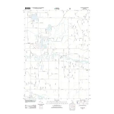 2012 Tallman2012 Print · USGSMason County in the early twenty-first century is defined by its winding waterways and quiet settlements. Researchers can trace local history through the Tallman Cemetery, find the post office at Walhalla, and explore the banks of the Pere Marquette River.
 - 2012 Map of Carr, 2012 Print
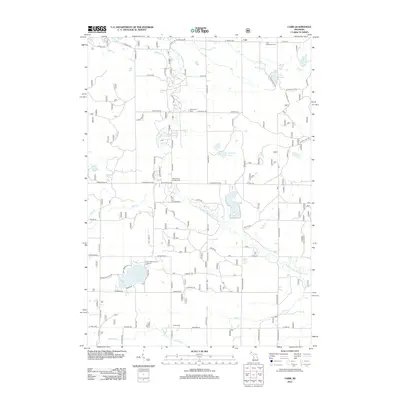 2012 Carr2012 Print · USGSTroy Township in the early twenty-first century remains a landscape of winding river bends and rural cemeteries. Researchers can trace local lineage at Carr Settlement Cem or explore the waterways near Gillen Springs and School Section Lake.
 - 2012 Map of Big Star Lake, 2012 Print
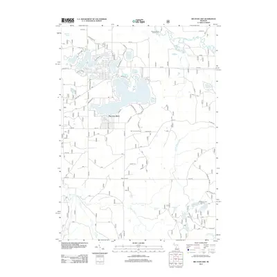 2012 Big Star Lake2012 Print · USGSNewaygo County's lake-rich forest landscape is captured here in the early twenty-first century, centered on the prominent Big Star Lake. Researchers can trace local landmarks like Pine Grove Beach, the Star Lake Lookout Tower, and the winding Pere Marquette River.
Showing maps 1-25 of 42
Top cities near Lake Township
- Baldwin historical maps
- Lilley historical maps
- Colfax historical maps
- Peacock historical maps
- Sauble historical maps
- Troy historical maps
See more
Top neighborhoods of Lake Township
Frequently asked questions
- What are the different types of historical maps available for Lake Township?
- What is the oldest map of Lake Township?
- Where can I purchase historical maps of Lake Township for my home or office?
- Where can I download high-res historical maps of Lake Township?
- Are there historical topographic maps available for Lake Township?
- Is there historical aerial imagery available for Lake Township?
- Where are historical maps of Lake Township sourced from?