2000s (21st Century) Maps of Webber Township, Michigan
Explore 10 historic maps of Webber Township from the 2000s (21st Century). These maps offer a rare glimpse into what life looked like during the 2000s — showing old roads, neighborhoods, homes, and landmarks that have changed or disappeared over time.
Whether you're researching your family's past, planning a metal detecting trip, or studying how Webber Township's landscape evolved across the 2000s, these high-resolution maps are a powerful tool for exploring the history of this region.
- Focus on a specific era: All maps on this page are from the 2000s, giving you a focused view of this time period.
- See what’s changed: Compare century-old streets, trails, and buildings to today's modern landscape using overlays and satellite layers.
- Research with precision: Use these maps for genealogy, historical research, land use analysis, or educational projects.
- View, download, or print: Maps are fully viewable online in high resolution, and can be downloaded or printed for your own records.
Start exploring Webber Township's history through authentic maps from the 2000s. This is your window into the past.
Webber Township, MI maps
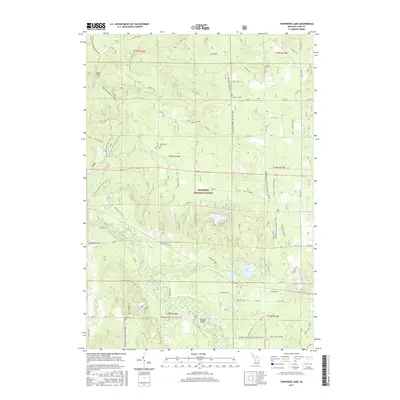
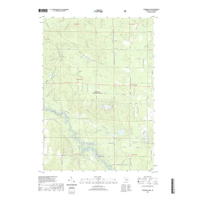
(10)- 2012 Map of Townsend Lake, 2012 Print
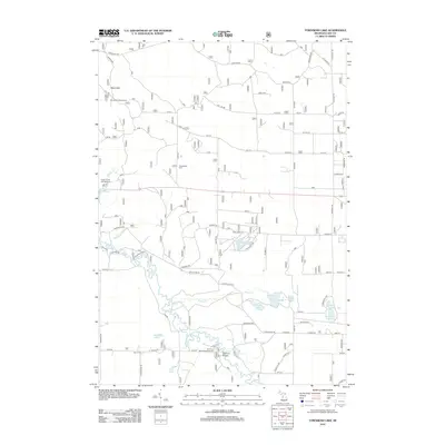 2012 Townsend Lake2012 Print · USGSCovers Webber Township, including Sauble Township, Sweetwater Township, and other nearby areas
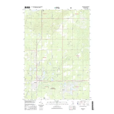
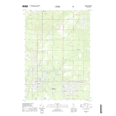
 - 2012 Map of Baldwin, 2012 Print
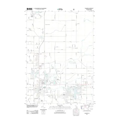 2012 Baldwin2012 Print · USGSCovers Webber Township, including Baldwin, Yates Township, and other nearby areas
 - 2014 Map of Townsend Lake, 2014 Print
 2014 Townsend Lake2014 Print · USGSCovers Webber Township, including Sauble Township, Sweetwater Township, and other nearby areas
 - 2014 Map of Baldwin, 2014 Print
 2014 Baldwin2014 Print · USGSCovers Webber Township, including Baldwin, Yates Township, and other nearby areas
 - 2017 Map of Townsend Lake, 2017 Print
 2017 Townsend Lake2017 Print · USGSCovers Webber Township, including Sauble Township, Sweetwater Township, and other nearby areas
 - 2017 Map of Baldwin, 2017 Print
 2017 Baldwin2017 Print · USGSCovers Webber Township, including Baldwin, Yates Township, and other nearby areas
 - 2019 Map of Townsend Lake, 2019 Print
 2019 Townsend Lake2019 Print · USGSCovers Webber Township, including Sauble Township, Sweetwater Township, and other nearby areas
 - 2019 Map of Baldwin, 2019 Print
 2019 Baldwin2019 Print · USGSCovers Webber Township, including Baldwin, Yates Township, and other nearby areas
 - 2023 Map of Townsend Lake, 2023 Print
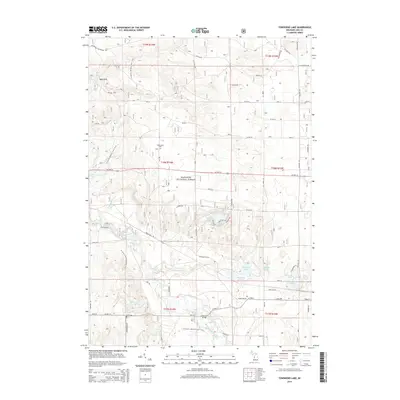
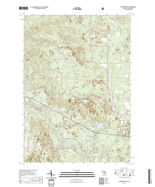 2023 Townsend Lake2023 Print · USGSThe Lake County wilderness is charted here in the early 2020s, showing the intersection of protected forest lands and intricate river systems. Genealogists and outdoor historians can locate Sweetwater Cem and Evergreen Cem alongside the Pere Marquette Wild and Scenic River.
 - 2023 Map of Baldwin, 2023 Print
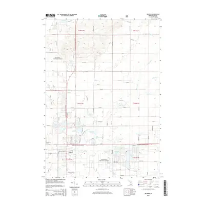
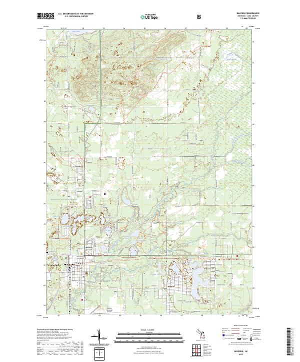 2023 Baldwin2023 Print · USGSLake County, Michigan, is seen here in recent years as a landscape of dense forests and interconnected waterways. Researchers can trace the development of Baldwin and Idlewild, or locate local landmarks like the Lake County Courthouse and Webber Cem.
End of results
Showing maps 1-10 of 10
Top cities near Webber Township
- Baldwin historical maps
- Lilley historical maps
- Colfax historical maps
- Peacock historical maps
- Luther historical maps
- Sauble historical maps
See more
Frequently asked questions
- What are the different types of historical maps available for Webber Township?
- What is the oldest map of Webber Township?
- Where can I purchase historical maps of Webber Township for my home or office?
- Where can I download high-res historical maps of Webber Township?
- Are there historical topographic maps available for Webber Township?
- Is there historical aerial imagery available for Webber Township?
- Where are historical maps of Webber Township sourced from?