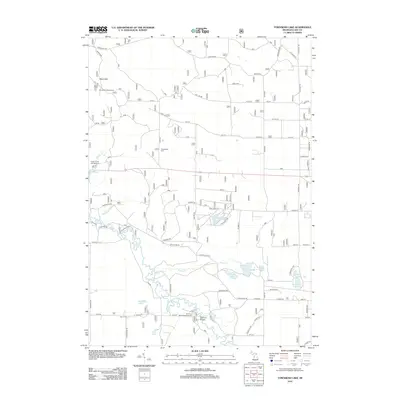
2012 Map of Townsend Lake
USGS Topo · Published 2012About this map
The Pere Marquette River snakes through the southern portion of this Lake County landscape, serving as a focal point for local recreation and historical transport. Near the river's bend, the Bowman Bridge and the Bowman Bridge Campground provide clear evidence of the area's continued reliance on the waterway for both passage and leisure. To the north, the elevated terrain of the Ward Hills is marked by the Ward Hill Lookout Tower, a site once essential for fire observation in these wooded tracts.
Find a feature on this map
61 named features on this map. Tap any name to fly to it.
Don’t see what you’re looking for? This feature index may not catch every label — zoom into the map to look around manually.
Map Details
Editions of this 2012 Townsend Lake Map
This is the sole edition of this map. No revisions or reprints were ever made.
Other maps of this area

1931 · Baldwin NW
USGS Topo · 1:31,680

1931 · Custer NE
USGS Topo · 1:31,680

1931 · Baldwin NE
USGS Topo · 1:31,680

1931 · Custer SE
USGS Topo · 1:31,680

1932 · Freesoil SE
USGS Topo · 1:31,680

1933 · Peacock SE
USGS Topo · 1:31,680

1933 · Peacock SW
USGS Topo · 1:31,680

1954 · Traverse City
USGS Topo · 1:250,000

1954 · Milwaukee
USGS Topo · 1:250,000

1954 · Midland
USGS Topo · 1:250,000