Old Maps of Columbus Township, Michigan for Genealogy
Trace your family roots with 61 historic maps of Columbus Township. These high-res maps reveal old neighborhoods, homesites, landmarks, and streets — helping you uncover where your ancestors lived and how the area evolved over time.
- Explore historic neighborhoods: Identify where your relatives may have lived in the 1800s or 1900s.
- Compare maps over time: Trace the changes in streets, buildings, and landmarks for multi-generational research.
- Perfect for genealogy & ancestry research: Used by family historians and researchers to map out lineage and migration.
These maps are an incredible resource for exploring your personal connection to Columbus Township's past.
Columbus Township, MI maps
(61)- 1931 Map of Seney SE
 1931 Seney SE1931 Print · USGSThe Upper Peninsula lake country at the start of the 1930s reveals a wilderness defined by its massive waterways and isolated settlements. Genealogists and researchers can trace the rail-and-road corridor of State Highway No 28 and the D S S and A near the Smithers Sch.
 - 1954 Map of Sault Sainte Marie, 1979 Print
 1954 Sault Sainte Marie1979 Print · USGSThe Eastern Upper Peninsula and Ontario borderlands are captured here at the height of the mid-century era. Family historians can trace settlements like Grand Marais and Stalwart, while mapping the strategic grounds of Kincheloe AFB.3 unique versions available
 - 1956 Map of Sault Sainte Marie, 1964 Print
 1956 Sault Sainte Marie1964 Print · USGSThe Eastern Upper Peninsula and the Canadian border meet in this mid-sixties survey of the bustling Soo Locks region. Genealogists and historians can trace the paths of the Soo Line and locate lakeside communities from Grand Marais to Shelldrake.2 unique versions available
 - 1957 Map of Sault Sainte Marie
 1957 Sault Sainte Marie1957 Print · USGSThe Upper Peninsula and Ontario border come alive in this mid-century portrait of the eastern Lake Superior shoreline and the vital St. Marys River corridor. Genealogists and historians can trace rail-era settlements from Newberry to Detour, while locating military landmarks like Kinross Air Force Base.
 - 1958 Map of Sault Sainte Marie
 1958 Sault Sainte Marie1958 Print · USGSThe eastern Upper Peninsula and the Canadian borderland appear here during the late fifties, a time of military growth and forest management. Researchers can locate vanished rail stops along the Soo Line, early sites like the Fiborn Quarry, and the sprawling Kinross Air Force Base.
 - 1962 Map of Auger Lake, 1974 Print
 1962 Auger Lake1974 Print · USGSLuce County’s timberlands and remote outposts are captured here in the early 1970s, showcasing a landscape of dense forests and legacy rail grades. Researchers can trace historic industrial footprints at Cleveland Cliffs Lake and old transit hubs like Eightmile Corner and Carson.
 - 1968 Map of Muskallonge Lake SW, 1970 Print
 1968 Muskallonge Lake SW1970 Print · USGSThe Luce County wilderness comes into focus during the late 1960s, showing the intricate headwaters of the legendary Two Hearted River. You can trace the remote network of logging routes and trails like Ohio Camp Road and locate the West Lookout Tower among dozens of named water bodies like Beaver Lake.2 unique versions available
 - 1968 Map of Muskallonge Lake SE, 1970 Print
 1968 Muskallonge Lake SE1970 Print · USGSUpper Peninsula wilderness in the late sixties reveals a landscape shaped by water and woods within the Lake Superior State Forest. Researchers can trace old routes near Pine Stump Junction and the winding course of the Two Hearted River.
 - 1968 Map of Grand Marais SE, 1970 Print
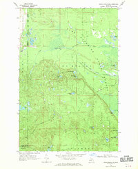 1968 Grand Marais SE1970 Print · USGSThe Upper Peninsula wilderness of the late sixties is mapped here along the shoreline of Lake Superior. Researchers can trace the winding paths of the North Branch Two Hearted River or locate remote landmarks like Dillingham Lake and Wheeler Lake.
 - 1972 Map of Hardwood Island, 1975 Print
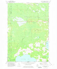 1972 Hardwood Island1975 Print · USGSLuce and Schoolcraft counties are shown in the early 1970s, a landscape defined by the vast northern forests and the clear shores of the Manistique lakes. Genealogists and historians can locate the West Lakefield Cem, the Soo Line rail stops at Danaher, and the landings along North Manistique Lake.2 unique versions available
 - 1972 Map of Tahquamenon Lakes, 1975 Print
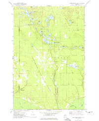 1972 Tahquamenon Lakes1975 Print · USGSLuce County’s lake country is captured here in the early 1970s, showing a vast network of timber roads and forest lands. Researchers can trace the layout of the Laketon settlement and find numerous small water bodies like Camp 7 Lake and Fur Farm Lake.
 - 1973 Map of McMillan, 1977 Print
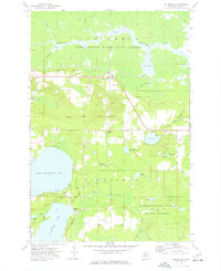 1973 McMillan1977 Print · USGSUpper Peninsula timber and lakeside life intersect in the 1970s as the railroad connects small settlements like McMillan and Laketon. Researchers can trace local heritage through the Lakefield Ch and multiple burial sites like the Old East Lakefield Cem.
 - 1973 Map of Newberry, 1977 Print
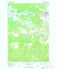 1973 Newberry1977 Print · USGSNewberry and its neighboring timber settlements are captured in the mid-seventies, showing the village alongside the extensive Tahquamenon River State Forest. Researchers can trace the Old Railroad Grade and locate local landmarks like the Newberry State Hosp and Pentland Sch.
 - 1973 Map of Buckeye Lake, 1977 Print
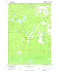 1973 Buckeye Lake1977 Print · USGSLuce County's lake country in the early 1970s is shown here as a landscape of state-managed forest and remote timber tracks. Outdoor enthusiasts and local historians can locate the Beech Hill Lookout Tower and trace old logging routes like Camp One Road or Camp Six Road past dozens of named ponds.
 - 1985 Map of Manistique Lake
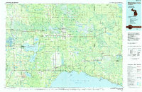 1985 Manistique Lake1985 Print · USGSThe eastern Upper Peninsula’s wilderness and rail-side villages are captured here in the mid-1980s, from the Soo Line corridor to the Lake Michigan shore. Genealogists and historians can trace the foundations of local life in Newberry, Engadine, and Seney, alongside industrial landmarks like the Calspar Quarry Pool.2 unique versions available
 - 1985 Map of Two Hearted River
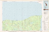 1985 Two Hearted River1985 Print · USGSThe Lake Superior coast of the Upper Peninsula is shown here during the mid-1980s, stretching from the Sucker River to Whitefish Bay. Researchers can trace remote logging grades and find small settlements such as Deer Park, Emerson, and the notable Pine Stump Junction.2 unique versions available
 - 2011 Map of Muskallonge Lake SW, 2011 Print
 2011 Muskallonge Lake SW2011 Print · USGSNorthern Luce County is shown in this contemporary study of the Two Hearted River’s primary tributaries. Trace the network of backcountry roads and camps including Ohio Camp Rd, the Holland Lake Lookout, and Two Hearted Lakes.
 - 2011 Map of Auger Lake, 2011 Print
 2011 Auger Lake2011 Print · USGSLuce County's forested interior and glacial lake systems are captured here in the early 2000s. Genealogists and local historians can locate rural landmarks like Eightmile Corner, Fourmile Corner, and the Northcountry Campground near the Tahquamenon River.
 - 2011 Map of Muskallonge Lake SE, 2011 Print
 2011 Muskallonge Lake SE2011 Print · USGSLuce County's forested interior is captured in this 2011 survey, showing a landscape of scattered glacial lakes and winding river branches. Researchers can trace forest access routes like Pike Lake Rd to remote landmarks such as Pine Stump Junction and McTivers Lake.
 - 2011 Map of Newberry, 2011 Print
 2011 Newberry2011 Print · USGSLuce County’s lake country is captured in the early twenty-first century, centered on the historic lumber hub of Newberry. Local researchers can trace the roads leading to Dollarville, the Big Valley Ski Area, and seasonal sites like Natalie.
 - 2011 Map of McMillan, 2011 Print
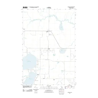 2011 McMillan2011 Print · USGSLuce County’s lake country and timberlands are documented here in the early twenty-first century, centered on the village of McMillan. Researchers can trace local lineages at the Columbus Township Cemetery or explore the shoreline settlements of Helmer and Laketon.
 - 2011 Map of Tahquamenon Lakes, 2011 Print
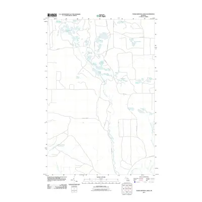 2011 Tahquamenon Lakes2011 Print · USGSIn the Upper Peninsula's forested interior during the early 21st century, this map shows a region shaped by the Tahquamenon River and its surrounding wetlands. Genealogists and outdoorsmen can trace routes along Danaher Plains Rd to reach Camp Seven Alke, Belle Lakes, and Devils Hollow Lake.
 - 2011 Map of Buckeye Lake, 2011 Print
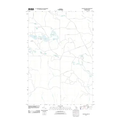 2011 Buckeye Lake2011 Print · USGSLuce County’s lake country is captured here in the early twenty-first century, showcasing a landscape of interconnected glacial waters and state forest lands. Outdoorsmen and researchers can trace the roads to the Bass Lake State Forest Campground or locate the Lookout Tower on Beech Hill.
 - 2011 Map of Grand Marais SE, 2011 Print
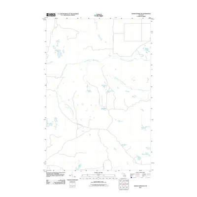 2011 Grand Marais SE2011 Print · USGSUpper Peninsula wilderness near Columbus Township is defined by the winding North Branch Two Hearted River and West Branch Two Hearted River in the early 2000s. Trace the remote network of forest roads and lakes like Potters Lake and Barfield Lakes.
 - 2011 Map of Hardwood Island, 2011 Print
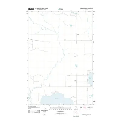 2011 Hardwood Island2011 Print · USGSUpper Michigan's lake country is captured here during the early twenty-first century, showing the complex hydrology of the Fox and Tahquamenon headwaters. Researchers can locate the West Lakefield Cemetery and trace old shoreline access at Carpenter Landing or Cummings.
Showing maps 1-25 of 61
Top cities near Columbus Township
- McMillan Township historical maps
- Newberry historical maps
- Germfask historical maps
- Seney historical maps
Top neighborhoods of Columbus Township
Frequently asked questions
- What are the different types of historical maps available for Columbus Township?
- What is the oldest map of Columbus Township?
- Where can I purchase historical maps of Columbus Township for my home or office?
- Where can I download high-res historical maps of Columbus Township?
- Are there historical topographic maps available for Columbus Township?
- Is there historical aerial imagery available for Columbus Township?
- Where are historical maps of Columbus Township sourced from?