Old Maps of Brevort Township, Michigan for Genealogy
Trace your family roots with 48 historic maps of Brevort Township. These high-res maps reveal old neighborhoods, homesites, landmarks, and streets — helping you uncover where your ancestors lived and how the area evolved over time.
- Explore historic neighborhoods: Identify where your relatives may have lived in the 1800s or 1900s.
- Compare maps over time: Trace the changes in streets, buildings, and landmarks for multi-generational research.
- Perfect for genealogy & ancestry research: Used by family historians and researchers to map out lineage and migration.
These maps are an incredible resource for exploring your personal connection to Brevort Township's past.
Brevort Township, MI maps
(48)- 1931 Map of Moran NE
 1931 Moran NE1931 Print · USGSUpper Peninsula life in the 1930s centered on the rail-and-road corridor between the Lake Michigan shore and the inland forests. Researchers can trace family history through St Marys Cem or locate the Christensen Resort and the tracks of the Duluth South Shore and Atlantic.
 - 1931 Map of Ozark SE
 1931 Ozark SE1931 Print · USGSThe marshlands of Mackinac and Chippewa counties are documented here in the early 1930s just as aerial surveying began to refine our understanding of the Upper Peninsula. Researchers can trace the path of the Duluth South Shore and Atlantic rail line and locate the small settlement at Maple Hill near East Lake.2 unique versions available
 - 1948 Map of Moran NE
 1948 Moran NE1948 Print · USGSMackinac County's forested interior meets the Lake Michigan shoreline in the 1930s, as the timber and rail era began to embrace tourism. Genealogists and historians can trace old homesteads near Moran, St Marys Cem, and the tracks of the Duluth South Shore and Atlantic railroad.
 - 1948 Map of Moran NW
 1948 Moran NW1948 Print · USGSMackinac County's shoreline near the mid-century remains a landscape of prominent points and inland waters. Researchers can trace the path of Old Peter Road and White Trail as they lead toward Brevoort Lake and the coastal Pte Aux Chenes.
 - 1954 Map of Sault Sainte Marie, 1979 Print
 1954 Sault Sainte Marie1979 Print · USGSThe Eastern Upper Peninsula and Ontario borderlands are captured here at the height of the mid-century era. Family historians can trace settlements like Grand Marais and Stalwart, while mapping the strategic grounds of Kincheloe AFB.3 unique versions available
 - 1955 Map of Cheboygan, 1964 Print
 1955 Cheboygan1964 Print · USGSNorthern Michigan in the mid-fifties is a landscape of dense timber and deep water, showing the region just as the road network began to modernize. Trace family roots in lakeside towns like St Ignace and Petoskey, or follow the historic tracks of the Pennsylvania RR and New York Central RR.5 unique versions available
 - 1956 Map of Sault Sainte Marie, 1964 Print
 1956 Sault Sainte Marie1964 Print · USGSThe Eastern Upper Peninsula and the Canadian border meet in this mid-sixties survey of the bustling Soo Locks region. Genealogists and historians can trace the paths of the Soo Line and locate lakeside communities from Grand Marais to Shelldrake.2 unique versions available
 - 1957 Map of Sault Sainte Marie
 1957 Sault Sainte Marie1957 Print · USGSThe Upper Peninsula and Ontario border come alive in this mid-century portrait of the eastern Lake Superior shoreline and the vital St. Marys River corridor. Genealogists and historians can trace rail-era settlements from Newberry to Detour, while locating military landmarks like Kinross Air Force Base.
 - 1958 Map of Cheboygan
 1958 Cheboygan1958 Print · USGSThe tip of Michigan's Lower Peninsula and the surrounding Great Lakes islands are shown here in the late fifties, during the peak of the rail-and-ferry era. Trace the paths of the Pennsylvania RR and explore lakeside settlements like St James, Petoskey, and Indian River.2 unique versions available
 - 1958 Map of Sault Sainte Marie
 1958 Sault Sainte Marie1958 Print · USGSThe eastern Upper Peninsula and the Canadian borderland appear here during the late fifties, a time of military growth and forest management. Researchers can locate vanished rail stops along the Soo Line, early sites like the Fiborn Quarry, and the sprawling Kinross Air Force Base.
 - 1964 Map of Ozark, 1965 Print
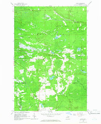 1964 Ozark1965 Print · USGSThe Upper Peninsula wilderness of Chippewa and Mackinac Counties is captured here in the mid-1960s as a landscape of timber and rail. Genealogists and local historians can locate the community of Ozark, the Brethren Cem, and landmarks like the Trout Lake Lookout Tower.3 unique versions available
 - 1964 Map of Ozark NE, 1965 Print
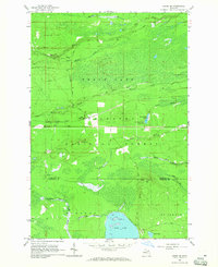 1964 Ozark NE1965 Print · USGSUpper Peninsula timberlands and rail stops are captured here in the mid-1960s as the Soo Line crosses the wilderness. Genealogists and historians can trace small settlements like Cordell or find landmarks like the Lookout Tower on Maple Hill.2 unique versions available
 - 1964 Map of Ozark SE, 1965 Print
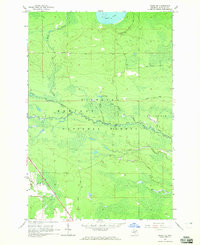 1964 Ozark SE1965 Print · USGSMackinac County's timberlands and river systems are shown here in the mid-1960s as the Hiawatha National Forest surrounds the Carp River. Genealogists and historians can trace the Soo Line corridor and old transport routes like Kenneth Road and Spring Road.2 unique versions available
 - 1964 Map of Moran, 1966 Print
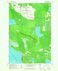 1964 Moran1966 Print · USGSUpper Peninsula timber and rail life come into focus in the mid-1960s near the Straits. Genealogists and local historians can locate early landmarks like Zion Ch, the Brevoort Cem, and the rail stops at Moran and Allenville.2 unique versions available
 - 1964 Map of Pointe Aux Chenes, 1966 Print
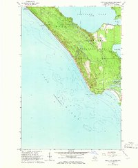 1964 Pointe Aux Chenes1966 Print · USGSMackinac County's shoreline in the mid-sixties reveals a landscape of protected forests and complex coastal wetlands. Researchers can trace the winding Pointe Aux Chenes River through the Pointe Aux Chenes Marshes and locate the historic Lake Michigan Campground.2 unique versions available
 - 1964 Map of Kenneth, 1966 Print
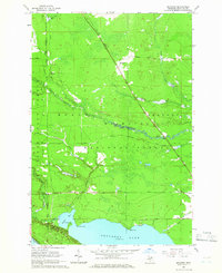 1964 Kenneth1966 Print · USGSThe Hiawatha National Forest meets the northern shores of Brevoort Lake in the mid-1960s. Trace the Soo Line railroad through the woods past Kenneth or find local landmarks like Rock Rapids and the Boedne Bay Campground.2 unique versions available
 - 1984 Map of Cheboygan, 1985 Print
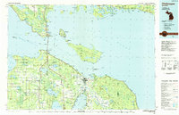 1984 Cheboygan1985 Print · USGSThe Straits of Mackinac and the northern tip of Michigan's Lower Peninsula are shown here in the mid-1980s. Local researchers can trace family landmarks and rural crossroads from St Ignace to Cheboygan, including Riggsville and Levering.
 - 1984 Map of Sault Ste. Marie South, 1985 Print
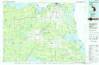 1984 Sault Ste. Marie South1985 Print · USGSEastern Upper Peninsula life in the 1980s is captured here, from the northern forests down to the northern shores of Lake Huron. Researchers can locate small lakeside communities like Dollar Settlement, trace the Soo Line Railroad, and find family sites near Pine Grove Cem.2 unique versions available
 - 2011 Map of Pointe aux Chenes, 2011 Print
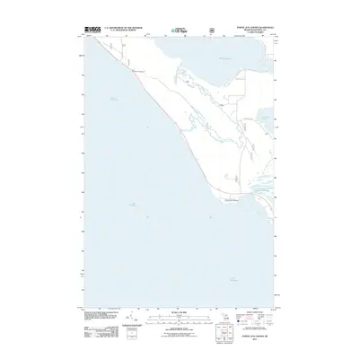 2011 Pointe aux Chenes2011 Print · USGSBrevort Township's rugged shoreline and internal waterways are captured here at the start of the 2010s. Researchers can trace the drainage patterns and local roads near Pointe aux Chenes, from the Lake Michigan Campground to the vast Pointe aux Chenes Marshes.
 - 2011 Map of Ozark NE, 2011 Print
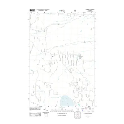 2011 Ozark NE2011 Print · USGSMackinac County’s eastern interior is captured here in the early twenty-first century, showcasing a landscape of dense wetlands and isolated settlements. You can trace local landmarks like The Big Spring and Schlehubers Marsh, or locate the quiet crossroads of Dick and Cordell.
 - 2011 Map of Ozark SE, 2011 Print
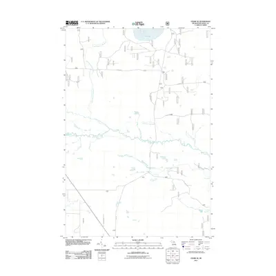 2011 Ozark SE2011 Print · USGSBrevort Township in the Upper Peninsula is shown in the early twenty-first century, featuring the winding Carp River and its many tributaries. Trace local geography through the namesake Spring Lake, the expansive Beaver Pond, and the remote Paquin Lake.
 - 2011 Map of Ozark, 2011 Print
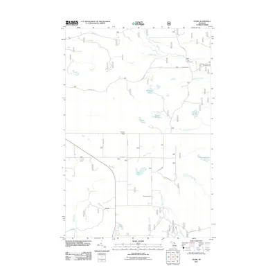 2011 Ozark2011 Print · USGSBrevort Township and the settlement of Ozark are documented here during the early twenty-first century, showcasing a landscape of managed forests and northern wetlands. Researchers can locate the Brethren Cemetery and explore recreational landmarks like the Trout Lake Lookout Tower and Dick Campground.
 - 2011 Map of Moran, 2011 Print
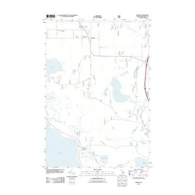 2011 Moran2011 Print · USGSMackinac County's forested interior and Lake Michigan shoreline are documented here as they appeared in the early twenty-first century. Genealogists and local historians can trace family ties at Immaculate Conception Cemetery or locate the historic Moran Post Office and Brevort Township Fairground.
 - 2011 Map of Kenneth, 2011 Print
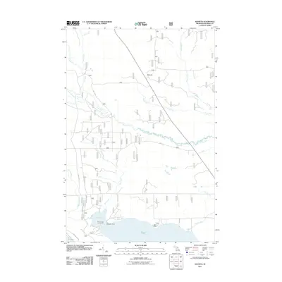 2011 Kenneth2011 Print · USGSBrevort Township and the settlement of Kenneth are shown in the early twenty-first century, surrounded by the dense river systems of the Upper Peninsula. Trace the winding paths of the Carp River and Silver Creek or locate landmarks on Brevort Lake like Black Point.
 - 2014 Map of Ozark, 2014 Print
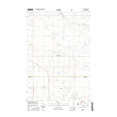 2014 Ozark2014 Print · USGSThe northern woods of Mackinac and Chippewa Counties are documented here during the early twenty-first century. Genealogists and hikers can locate the Brethren Cem or trace the N Country National Scenic Trail through the Hiawatha National Forest.
Showing maps 1-25 of 48
Top cities near Brevort Township
- Saint Ignace historical maps
- Moran historical maps
- Brevort historical maps
- Trout Lake historical maps
- Mackinac Island historical maps
Top neighborhoods of Brevort Township
Frequently asked questions
- What are the different types of historical maps available for Brevort Township?
- What is the oldest map of Brevort Township?
- Where can I purchase historical maps of Brevort Township for my home or office?
- Where can I download high-res historical maps of Brevort Township?
- Are there historical topographic maps available for Brevort Township?
- Is there historical aerial imagery available for Brevort Township?
- Where are historical maps of Brevort Township sourced from?