Old Maps of Mackinac Island, Michigan for Academic Research
Study the evolution of Mackinac Island with 29 high-resolution historic maps. Whether you're teaching, researching, or modeling changes in land use, these maps provide essential visual documentation of urban, environmental, and geographic change.
- Analyze long-term change: Track patterns in development, transportation, and natural features.
- Ideal for environmental or urban studies: Support academic projects with primary historical map data.
- Use in the classroom or lab: Educators and researchers rely on these maps to bring historical context to life.
These maps are a powerful tool for teaching, research, and visualizing how Mackinac Island has changed over the decades.
Mackinac Island, MI maps
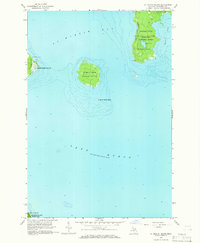
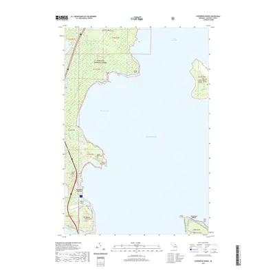
(29)- 1931 Map of St Ignace NW
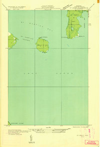
 1931 St Ignace NW1931 Print · USGSMackinac County's shoreline and offshore islands are captured here in the early 1930s, showing the region's rural character before modern expansion. Genealogists and local historians can locate early landmarks like Fort Algonquin, Rabbits Back Sch, and the docks at British Landing.
 - 1932 Map of St Ignace NE
 1932 St Ignace NE1932 Print · USGSThe waters of northern Lake Huron and the isolated St Martins Islands are captured here in the early 1930s. Genealogists and maritime historians can trace the early survey of Marquette Point and the coastal boundaries of Marquette Twp.
 - 1955 Map of Cheboygan, 1964 Print
 1955 Cheboygan1964 Print · USGSNorthern Michigan in the mid-fifties is a landscape of dense timber and deep water, showing the region just as the road network began to modernize. Trace family roots in lakeside towns like St Ignace and Petoskey, or follow the historic tracks of the Pennsylvania RR and New York Central RR.5 unique versions available
 - 1958 Map of Cheboygan
 1958 Cheboygan1958 Print · USGSThe tip of Michigan's Lower Peninsula and the surrounding Great Lakes islands are shown here in the late fifties, during the peak of the rail-and-ferry era. Trace the paths of the Pennsylvania RR and explore lakeside settlements like St James, Petoskey, and Indian River.2 unique versions available
 - 1964 Map of Round Island, 1966 Print
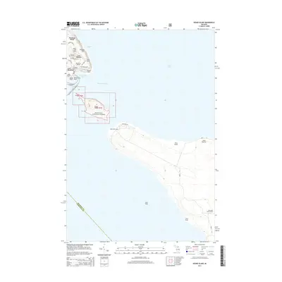
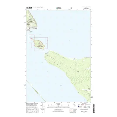
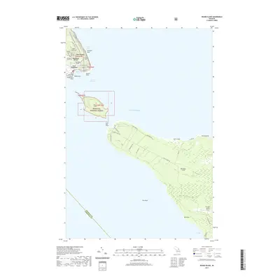
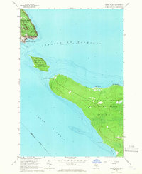 1964 Round Island1966 Print · USGSThe mid-1960s Straits of Mackinac come alive in this survey, showcasing the unique island geography and historical landmarks of northern Michigan. Researchers can trace the layout of Fort Mackinac, explore the bounds of Mackinac Island State Park, and locate coastal features like Zela Point and Round Island.2 unique versions available
 - 1964 Map of Evergreen Shores, 1966 Print
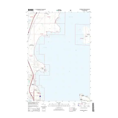
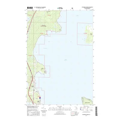
 1964 Evergreen Shores1966 Print · USGSThe Straits of Mackinac area in the mid-1960s shows a landscape of north-woods forests and expanding coastal settlements. Researchers can trace family sites near Evergreen Shores, locate historic British Landing on Mackinac Island, and identify landmarks like Castle Rock.2 unique versions available
 - 1964 Map of St. Ignace, 1966 Print
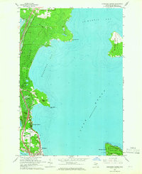
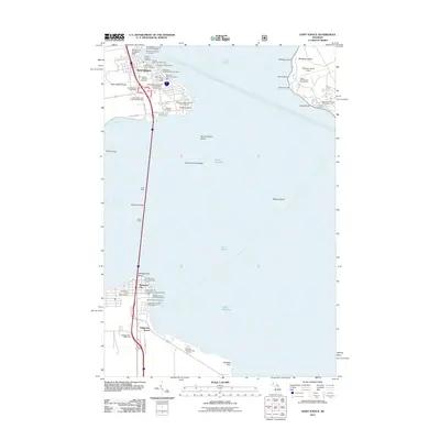
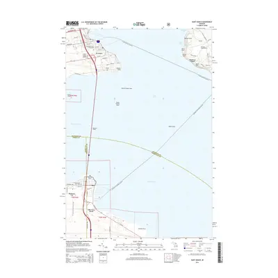
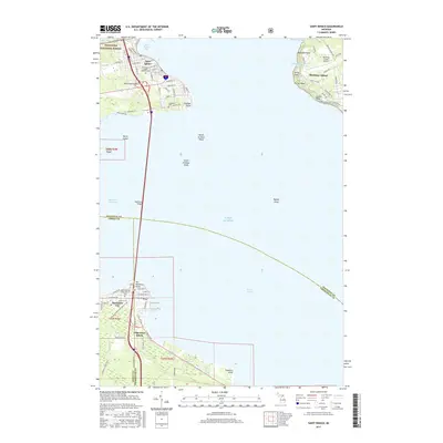
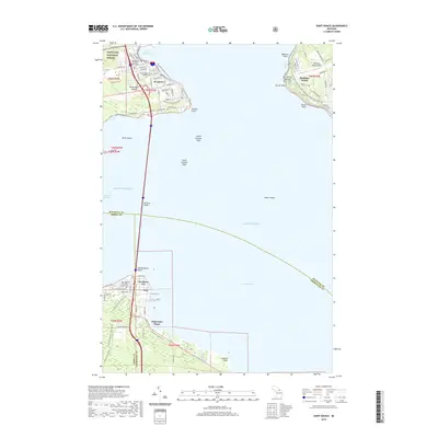
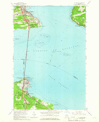 1964 St. Ignace1966 Print · USGSThe Straits of Mackinac were in a period of transition in the mid-sixties, linked by the recently completed Mackinac Bridge. Genealogists and historians can trace the rail terminals of the Pennsylvania and waterfront sites like Old Mackinac Point and Edgewater Beach.2 unique versions available
 - 1964 Map of St. Martin Island, 1966 Print
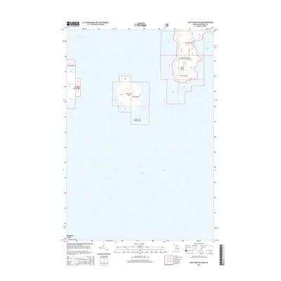
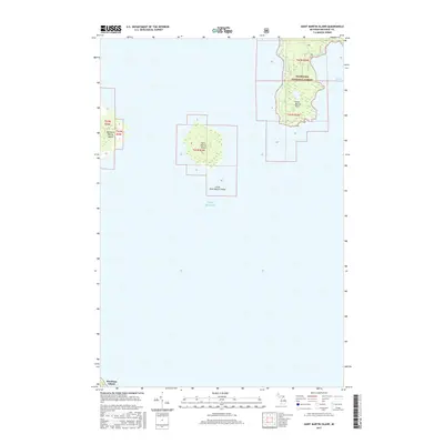
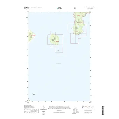
 1964 St. Martin Island1966 Print · USGSLake Huron’s northern waters and the islands of Mackinac County are captured here in the mid-sixties. Researchers can trace landforms like St Martin Island, locate the Indian Burial Ground on the big island, and see early forest boundaries in the Hiawatha National Forest.2 unique versions available
 - 1984 Map of Cheboygan, 1985 Print
 1984 Cheboygan1985 Print · USGSThe Straits of Mackinac and the northern tip of Michigan's Lower Peninsula are shown here in the mid-1980s. Local researchers can trace family landmarks and rural crossroads from St Ignace to Cheboygan, including Riggsville and Levering.
 - 2011 Map of Round Island, 2011 Print
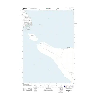 2011 Round Island2011 Print · USGSCovers Mackinac Island, including Bois Blanc Township, Fort Mackinac, and other nearby areas
 - 2011 Map of Evergreen Shores, 2011 Print
 2011 Evergreen Shores2011 Print · USGSCovers Mackinac Island, including Saint Ignace, British Landing, and other nearby areas
 - 2011 Map of Saint Martin Island, 2011 Print
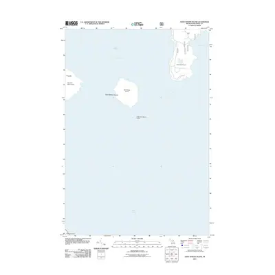 2011 Saint Martin Island2011 Print · USGSCovers Mackinac Island, including Marquette Township, Saint Ignace Township, and other nearby areas
 - 2011 Map of Saint Ignace, 2011 Print
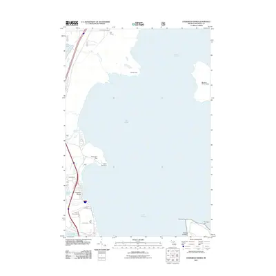
 2011 Saint Ignace2011 Print · USGSCovers Mackinac Island, including Saint Ignace, Mackinaw City, and other nearby areas
 - 2014 Map of Saint Martin Island, 2014 Print
 2014 Saint Martin Island2014 Print · USGSCovers Mackinac Island, including Marquette Township, Saint Ignace Township, and other nearby areas
 - 2014 Map of Evergreen Shores, 2014 Print
 2014 Evergreen Shores2014 Print · USGSCovers Mackinac Island, including Saint Ignace, British Landing, and other nearby areas
 - 2014 Map of Round Island, 2014 Print
 2014 Round Island2014 Print · USGSCovers Mackinac Island, including Bois Blanc Township, Fort Mackinac, and other nearby areas
 - 2014 Map of Saint Ignace, 2014 Print
 2014 Saint Ignace2014 Print · USGSCovers Mackinac Island, including Saint Ignace, Mackinaw City, and other nearby areas
 - 2017 Map of Saint Ignace, 2017 Print
 2017 Saint Ignace2017 Print · USGSCovers Mackinac Island, including Saint Ignace, Mackinaw City, and other nearby areas
 - 2017 Map of Evergreen Shores, 2017 Print
 2017 Evergreen Shores2017 Print · USGSCovers Mackinac Island, including Saint Ignace, British Landing, and other nearby areas
 - 2017 Map of Round Island, 2017 Print
 2017 Round Island2017 Print · USGSCovers Mackinac Island, including Bois Blanc Township, Fort Mackinac, and other nearby areas
 - 2017 Map of Saint Martin Island, 2017 Print
 2017 Saint Martin Island2017 Print · USGSCovers Mackinac Island, including Marquette Township, Saint Ignace Township, and other nearby areas
 - 2019 Map of Saint Martin Island, 2019 Print
 2019 Saint Martin Island2019 Print · USGSCovers Mackinac Island, including Marquette Township, Saint Ignace Township, and other nearby areas
 - 2019 Map of Saint Ignace, 2019 Print
 2019 Saint Ignace2019 Print · USGSCovers Mackinac Island, including Saint Ignace, Mackinaw City, and other nearby areas
 - 2019 Map of Round Island, 2019 Print
 2019 Round Island2019 Print · USGSCovers Mackinac Island, including Bois Blanc Township, Fort Mackinac, and other nearby areas
 - 2019 Map of Evergreen Shores, 2019 Print
 2019 Evergreen Shores2019 Print · USGSCovers Mackinac Island, including Saint Ignace, British Landing, and other nearby areas
Showing maps 1-25 of 29
Top cities near Mackinac Island
- Cheboygan historical maps
- Saint Ignace historical maps
- Moran historical maps
- Carp Lake historical maps
- Mackinaw City historical maps
Top neighborhoods of Mackinac Island
- Harrisonville historical maps
- British Landing historical maps
- Fort Mackinac historical maps
- Four Corners historical maps
Frequently asked questions
- What are the different types of historical maps available for Mackinac Island?
- What is the oldest map of Mackinac Island?
- Where can I purchase historical maps of Mackinac Island for my home or office?
- Where can I download high-res historical maps of Mackinac Island?
- Are there historical topographic maps available for Mackinac Island?
- Is there historical aerial imagery available for Mackinac Island?
- Where are historical maps of Mackinac Island sourced from?