2010s Maps of Mackinac Island, Michigan
Explore 16 historic maps of Mackinac Island from the 2010s. These maps offer a rare glimpse into what life looked like during the 2010s — showing old roads, neighborhoods, homes, and landmarks that have changed or disappeared over time.
Whether you're researching your family's past, planning a metal detecting trip, or studying how Mackinac Island's landscape evolved across the 2010s, these high-resolution maps are a powerful tool for exploring the history of this region.
- Focus on a specific era: All maps on this page are from the 2010s, giving you a focused view of this time period.
- See what’s changed: Compare century-old streets, trails, and buildings to today's modern landscape using overlays and satellite layers.
- Research with precision: Use these maps for genealogy, historical research, land use analysis, or educational projects.
- View, download, or print: Maps are fully viewable online in high resolution, and can be downloaded or printed for your own records.
Start exploring Mackinac Island's history through authentic maps from the 2010s. This is your window into the past.
Mackinac Island, MI maps
(16)- 2011 Map of Round Island, 2011 Print
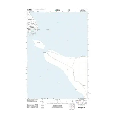 2011 Round Island2011 Print · USGSMackinac Island and its surrounding straits appear in high detail during the early twenty-first century. Researchers can trace military and maritime history through sites like Fort Mackinac, Round Island Passage Light, and the Fort Mackinac Post Cemetery.
 - 2011 Map of Evergreen Shores, 2011 Print
 2011 Evergreen Shores2011 Print · USGSThe Mackinac Straits region comes into focus in the early 2010s, showing the coastal community of Evergreen Shores and the western edge of Mackinac Island. Researchers can locate family sites at Saint Ignace Cemetery or trace the geography of landmarks like Castle Rock and British Landing.
 - 2011 Map of Saint Martin Island, 2011 Print
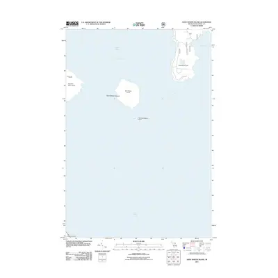 2011 Saint Martin Island2011 Print · USGSThe northern waters of Lake Huron and its isolated archipelagos are detailed here in the early twenty-first century. Researchers can locate the Indian Burial Ground on Big Saint Martin Island and trace the shore of Search Bay.
 - 2011 Map of Saint Ignace, 2011 Print
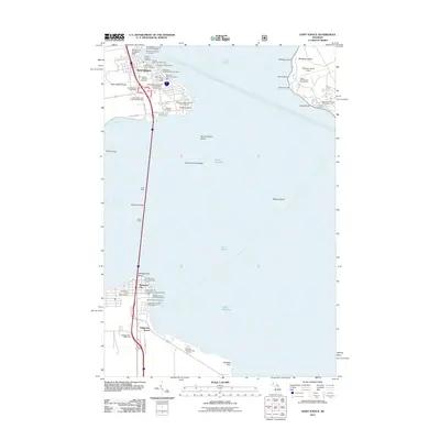 2011 Saint Ignace2011 Print · USGSThe Straits of Mackinac were a bustling corridor of ferry transit and tourism in the early twenty-first century. Genealogists and historians can trace local landmarks like Lakeside Cemetery, the Old Mackinac Point Lighthouse, and the extensive ferry docks of Saint Ignace.
 - 2014 Map of Saint Martin Island, 2014 Print
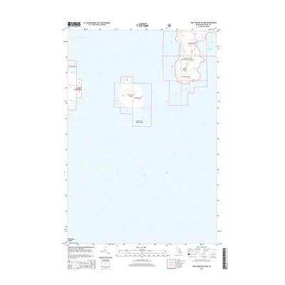 2014 Saint Martin Island2014 Print · USGSSaint Martin Island and its neighboring islets are captured in this mid-2010s survey of the Mackinac archipelago. Genealogists and maritime historians can trace the shoreline of Big Saint Martin Island or the forest boundaries near Paquin Lake and Search Bay.
 - 2014 Map of Evergreen Shores, 2014 Print
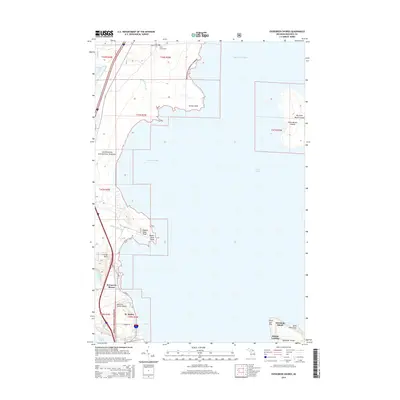 2014 Evergreen Shores2014 Print · USGSCoastal life in the Upper Peninsula meets the northern tip of Mackinac Island in this recent survey. Genealogists and local historians can locate the Saint Ignace Cem and trace the shorelines of Horseshoe Bay and the Saint Martin Islands.
 - 2014 Map of Round Island, 2014 Print
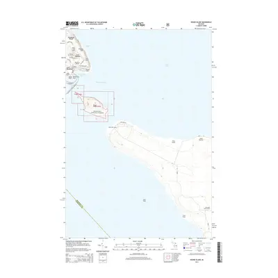 2014 Round Island2014 Print · USGSThe Straits of Mackinac were a focal point of Great Lakes maritime and military life in the early twenty-first century. Researchers can trace historic island landmarks such as Fort Mackinac, Saint Anns Cem, and the natural formation at Arch Rock.
 - 2014 Map of Saint Ignace, 2014 Print
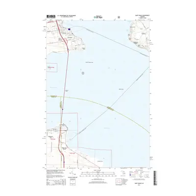 2014 Saint Ignace2014 Print · USGSThe Straits of Mackinac come alive in the mid-2010s, showing the vital ferry and bridge connections between the Upper and Lower Peninsulas. Researchers can trace the routes of the St. Ignace-Mackinac Island Fry or locate the Saint Ignace Loyola Catholic Cem.
 - 2017 Map of Saint Ignace, 2017 Print
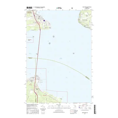 2017 Saint Ignace2017 Print · USGSThe Straits of Mackinac connect Michigan's peninsulas in the late 2010s, centered on the vital link of the Mackinac Bridge. Genealogists and researchers can trace local landmarks like Lakeside Cem, Old Mackinac Point, and the Mackinac Island Airport.
 - 2017 Map of Evergreen Shores, 2017 Print
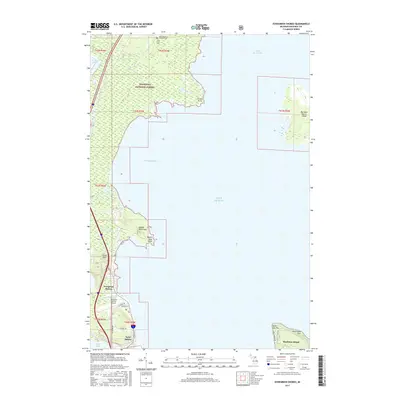 2017 Evergreen Shores2017 Print · USGSThe Straits of Mackinac coastline comes into focus in this recent survey of the gateway to the Upper Peninsula. Genealogists and local historians can pinpoint Saint Ignace Township Cem, the Mackinac County Airport, and landmarks like Castle Rock.
 - 2017 Map of Round Island, 2017 Print
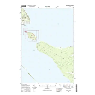 2017 Round Island2017 Print · USGSThe Straits of Mackinac and its famous island clusters are documented in the late twenty-tens, showing the intersection of military history and modern recreation. Trace heritage sites from Fort Mackinac to old family plots at the Mackinac Island Cem and Saint Anne's Catholic Cem.
 - 2017 Map of Saint Martin Island, 2017 Print
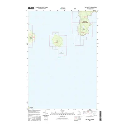 2017 Saint Martin Island2017 Print · USGSThe northern waters of Lake Huron are captured here in the mid-2010s, centering on the remote archipelago of the Hiawatha National Forest. Researchers can trace the untouched shorelines of Saint Martin Island and Big Saint Martin Island alongside the protected waters of Search Bay.
 - 2019 Map of Saint Martin Island, 2019 Print
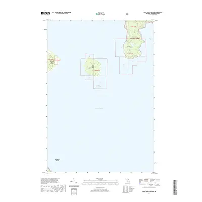 2019 Saint Martin Island2019 Print · USGSMackinac County's northern waters are captured here in the late twenty-teens, showing the isolated Saint Martin Islands and the mainland coast. Researchers can trace the shoreline of Search Bay or locate inland features like Paquin Lake.
 - 2019 Map of Saint Ignace, 2019 Print
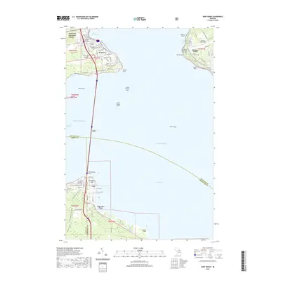 2019 Saint Ignace2019 Print · USGSThe Straits of Mackinac were a bustling crossroads of land and water travel when this recent survey was completed. Local historians can trace the paths of the N Central State Trail and locate family plots at Lakeside Cem or Mackinaw City Bible Church Cem.
 - 2019 Map of Round Island, 2019 Print
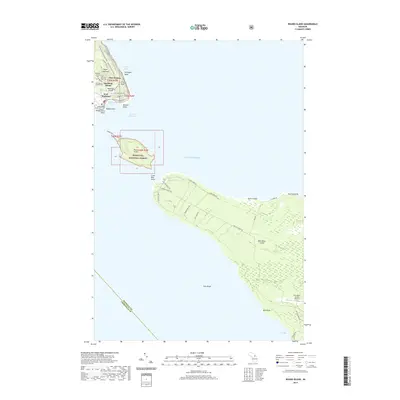 2019 Round Island2019 Print · USGSMackinac and Bois Blanc Islands are captured in this modern survey of the Straits of Mackinac. Genealogists and historians can trace the military and community legacy at Fort Mackinac, Saint Anne's Catholic Cem, and the Mackinac Post Cem.
 - 2019 Map of Evergreen Shores, 2019 Print
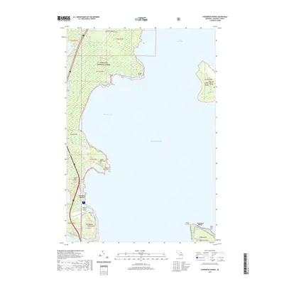 2019 Evergreen Shores2019 Print · USGSThe Straits of Mackinac region is captured here in the late 2010s, where the Upper Peninsula meets the Great Lakes. Local historians can trace the North Country National Scenic Trail or locate the Saint Ignace Township Cemetery and landmark Castle Rock.
End of results
Showing maps 1-16 of 16
Top cities near Mackinac Island
- Cheboygan historical maps
- Saint Ignace historical maps
- Moran historical maps
- Carp Lake historical maps
- Mackinaw City historical maps
Top neighborhoods of Mackinac Island
- Harrisonville historical maps
- British Landing historical maps
- Fort Mackinac historical maps
- Four Corners historical maps
Frequently asked questions
- What are the different types of historical maps available for Mackinac Island?
- What is the oldest map of Mackinac Island?
- Where can I purchase historical maps of Mackinac Island for my home or office?
- Where can I download high-res historical maps of Mackinac Island?
- Are there historical topographic maps available for Mackinac Island?
- Is there historical aerial imagery available for Mackinac Island?
- Where are historical maps of Mackinac Island sourced from?