2020s Maps of Ewing Township, Michigan
Explore 8 historic maps of Ewing Township from the 2020s. These maps offer a rare glimpse into what life looked like during the 2020s — showing old roads, neighborhoods, homes, and landmarks that have changed or disappeared over time.
Whether you're researching your family's past, planning a metal detecting trip, or studying how Ewing Township's landscape evolved across the 2020s, these high-resolution maps are a powerful tool for exploring the history of this region.
- Focus on a specific era: All maps on this page are from the 2020s, giving you a focused view of this time period.
- See what’s changed: Compare century-old streets, trails, and buildings to today's modern landscape using overlays and satellite layers.
- Research with precision: Use these maps for genealogy, historical research, land use analysis, or educational projects.
- View, download, or print: Maps are fully viewable online in high resolution, and can be downloaded or printed for your own records.
Start exploring Ewing Township's history through authentic maps from the 2020s. This is your window into the past.
Ewing Township, MI maps
(8)- 2023 Map of Arnold, 2023 Print
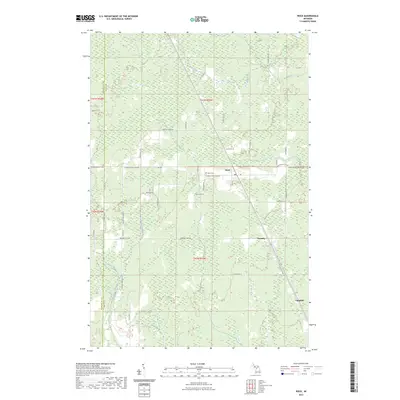
 2023 Arnold2023 Print · USGSMarquette County's southern interior is documented here in recent years, showing the quiet transition of old timber and river settlements. Genealogists and local historians can locate the Forest Home Cem and the small rural hubs of Arnold and Watson.
 - 2023 Map of Swimming Hole Creek, 2023 Print
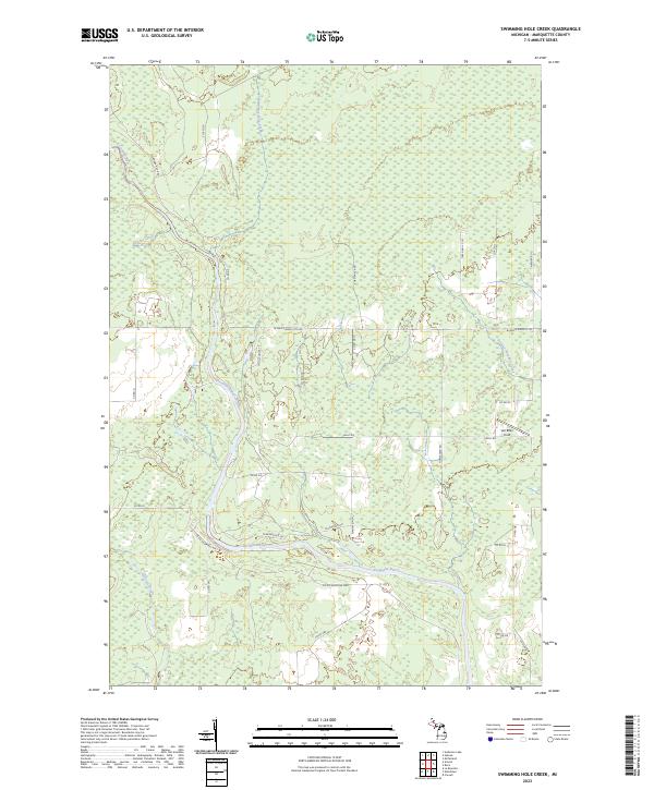 2023 Swimming Hole Creek2023 Print · USGSMarquette County’s Upper Peninsula landscape is captured here in the early twenty-first century, centered on the winding Escanaba River. You can trace rural access routes and named clearings like Van Effen Field or follow the paths of Swimming Hole Creek and Hunter's Brook.
 - 2023 Map of Anderson Lake, 2023 Print
 2023 Anderson Lake2023 Print · USGSMarquette County's dense timberlands and river systems are documented here in the early twenty-first century. Researchers can trace the complex drainage of the Escanaba River and find isolated camps near Anderson Lake and Cyr Swamp.
 - 2023 Map of Helena, 2023 Print
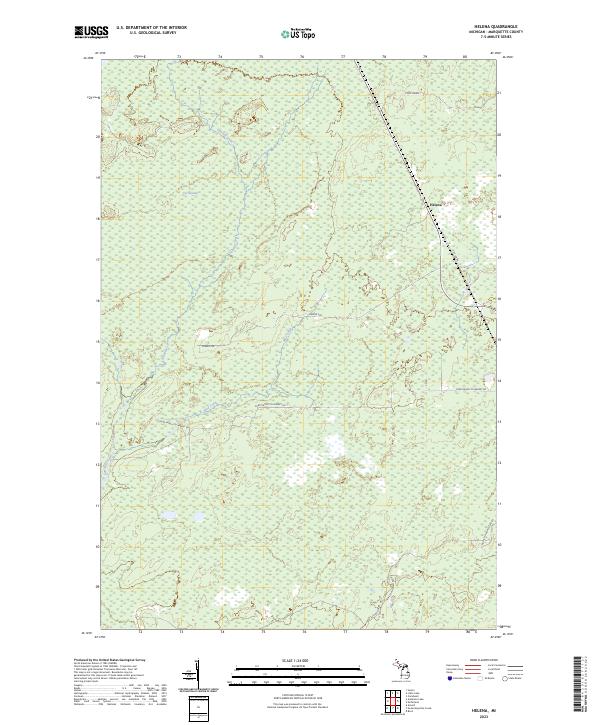 2023 Helena2023 Print · USGSMarquette County's wooded interior is captured here in the early twenty-first century, showing the intersection of transit and terrain. Genealogists and researchers can trace local routes like Hamilton Homestead Rd and find landmarks such as Helena and Cyr Swamp.
 - 2023 Map of McFarland, 2023 Print
 2023 McFarland2023 Print · USGSThis Upper Peninsula landscape near the Marquette and Delta County line showcases the small settlements of McFarland and Lathrop in the early 2020s. Researchers can locate Hillview Cem and Lathrop Cem or trace the old Stack Grade through the wetlands.
 - 2023 Map of Cornell, 2023 Print
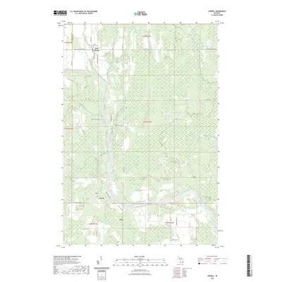 2023 Cornell2023 Print · USGSDelta County's river-driven landscape is captured here in the 2020s, showing the enduring rural character of the central Upper Peninsula. Genealogists can locate Saint Nicholas Cem while researchers trace the paths of Bobs Creek and the Escanaba River.
 - 2023 Map of Woodlawn, 2023 Print
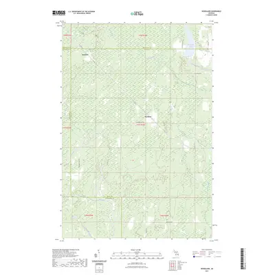 2023 Woodlawn2023 Print · USGSThe borderlands of Delta, Marquette, and Menominee counties are captured here in the early 2020s, showcasing a remote Upper Peninsula landscape. Researchers can trace the winding Ford River and find local landmarks like Hendricks and the Boney Falls Basin.
 - 2023 Map of Rock, 2023 Print
 2023 Rock2023 Print · USGSUpper Peninsula timber and rail life come into focus in this modern survey of the Rock area. Trace the legacy of early Finnish settlers along Finn Hall 38th Rd and locate local landmarks like Rock Cem and the settlement at Trombly.
End of results
Showing maps 1-8 of 8
Top cities near Ewing Township
Frequently asked questions
- What are the different types of historical maps available for Ewing Township?
- What is the oldest map of Ewing Township?
- Where can I purchase historical maps of Ewing Township for my home or office?
- Where can I download high-res historical maps of Ewing Township?
- Are there historical topographic maps available for Ewing Township?
- Is there historical aerial imagery available for Ewing Township?
- Where are historical maps of Ewing Township sourced from?