2020s Maps of Sands Township, Michigan
Explore 6 historic maps of Sands Township from the 2020s. These maps offer a rare glimpse into what life looked like during the 2020s — showing old roads, neighborhoods, homes, and landmarks that have changed or disappeared over time.
Whether you're researching your family's past, planning a metal detecting trip, or studying how Sands Township's landscape evolved across the 2020s, these high-resolution maps are a powerful tool for exploring the history of this region.
- Focus on a specific era: All maps on this page are from the 2020s, giving you a focused view of this time period.
- See what’s changed: Compare century-old streets, trails, and buildings to today's modern landscape using overlays and satellite layers.
- Research with precision: Use these maps for genealogy, historical research, land use analysis, or educational projects.
- View, download, or print: Maps are fully viewable online in high resolution, and can be downloaded or printed for your own records.
Start exploring Sands Township's history through authentic maps from the 2020s. This is your window into the past.
Sands Township, MI maps
(6)- 2023 Map of Gwinn, 2023 Print
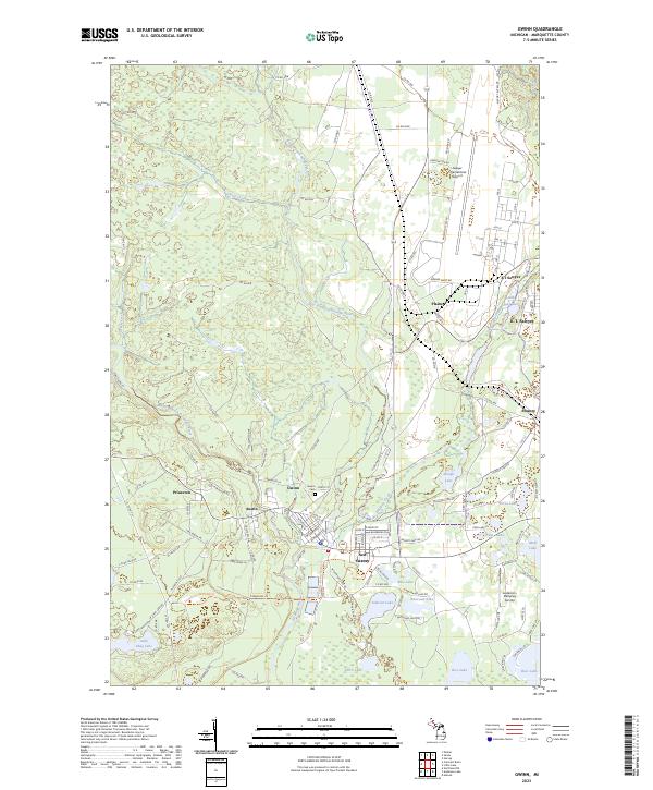 2023 Gwinn2023 Print · USGSMarquette County’s Upper Peninsula landscape comes alive in this survey of the Escanaba River country. Genealogists and historians can trace the streets of Gwinn, locate the Gwinn Cem, or explore the sprawling grounds of K. I. Sawyer.
 - 2023 Map of Sands, 2023 Print
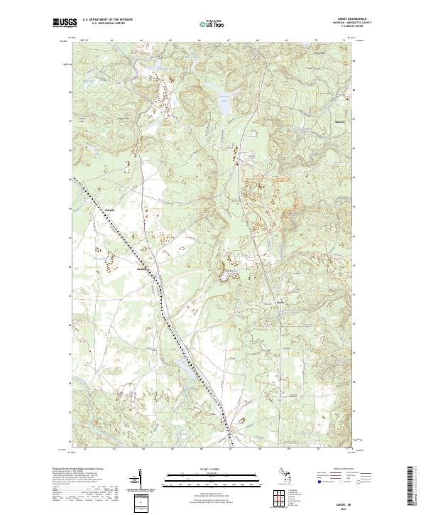 2023 Sands2023 Print · USGSMarquette County in the early 2020s shows a landscape of modern settlement interwoven with outdoor recreation. Researchers can trace the development of Sands and Harvey, or follow trails like the Blueberry Ridge Pathway Trl past landmarks like Strawberry Lake and Migisy Bluff.
 - 2023 Map of Little Lake, 2023 Print
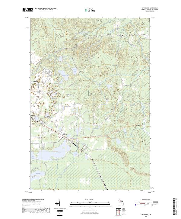 2023 Little Lake2023 Print · USGSMarquette County's forested interior is documented here in recent years, showing the area surrounding the Little Lake and Swanzy settlements. Researchers can trace local landmarks like the West Branch Cem, K. I. Sawyer, and the falls along the West Branch Chocolay River.
 - 2023 Map of Harvey, 2023 Print
 2023 Harvey2023 Print · USGSThe Lake Superior coastline and the lower reaches of the Chocolay River are captured here in the early twenty-first century. Genealogists and local historians can trace the rural communities of Green Garden and Beaver Grove, or locate the Green Garden / Saint Paul's Lutheran Cem and Southfork Airport.
 - 2023 Map of Marquette OE E, 2023 Print
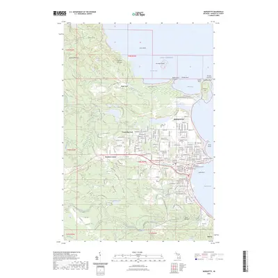
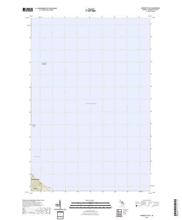 2023 Marquette OE E2023 Print · USGSCoastal Michigan and the waters of the Upper Peninsula are captured here in the early 2020s as they wrap around the historic port of Marquette. Maritime researchers can trace the shoreline from Presque Isle Point Rocks down to the settlement at Harvey.
 - 2023 Map of Marquette, 2023 Print
 2023 Marquette2023 Print · USGSMarquette and the Superior shore are captured in this recent survey, showing the modern layout of the Upper Peninsula's largest city. Researchers can locate Northern Michigan University, the County Courthouse, and burial sites like Holy Cross Cem or Park Cem.
End of results
Showing maps 1-6 of 6
Top cities near Sands Township
- Marquette historical maps
- Ishpeming historical maps
- Negaunee historical maps
- Sands historical maps
- Gwinn historical maps
- Trowbridge Park historical maps
See more
Top neighborhoods of Sands Township
Frequently asked questions
- What are the different types of historical maps available for Sands Township?
- What is the oldest map of Sands Township?
- Where can I purchase historical maps of Sands Township for my home or office?
- Where can I download high-res historical maps of Sands Township?
- Are there historical topographic maps available for Sands Township?
- Is there historical aerial imagery available for Sands Township?
- Where are historical maps of Sands Township sourced from?