1900s (20th Century) Maps of Sheridan Township, Michigan
Explore 18 historic maps of Sheridan Township from the 1900s (20th Century). These maps offer a rare glimpse into what life looked like during the 1900s — showing old roads, neighborhoods, homes, and landmarks that have changed or disappeared over time.
Whether you're researching your family's past, planning a metal detecting trip, or studying how Sheridan Township's landscape evolved across the 1900s, these high-resolution maps are a powerful tool for exploring the history of this region.
- Focus on a specific era: All maps on this page are from the 1900s, giving you a focused view of this time period.
- See what’s changed: Compare century-old streets, trails, and buildings to today's modern landscape using overlays and satellite layers.
- Research with precision: Use these maps for genealogy, historical research, land use analysis, or educational projects.
- View, download, or print: Maps are fully viewable online in high resolution, and can be downloaded or printed for your own records.
Start exploring Sheridan Township's history through authentic maps from the 1900s. This is your window into the past.
Sheridan Township, MI maps
(18)- 1931 Map of Custer NW
 1931 Custer NW1931 Print · USGSMason County’s rural landscape during the early thirties is anchored by the rail-and-road junction at Custer. Genealogists and historians can trace the distribution of early twentieth-century country schools like Weldon Cr Sch and Ressigue Sch along the Pere Marquette River.
 - 1931 Map of Custer NE
 1931 Custer NE1931 Print · USGSMason County in the early 1930s is a landscape of winding rivers and country schoolhouses. Genealogists and local historians can trace the foundations of Tallman and Walhalla, or locate landmarks like the Dunbar Fire Tower and the Swedish Settlement Sch.
 - 1931 Map of Freesoil SW
 1931 Freesoil SW1931 Print · USGSMason County’s rural northern townships appear here in the early 1930s as a landscape of small villages and isolated school districts. Genealogists can trace family connections to centers like Freesoil or locate the historic sites of Howell Sch and Bachelor Sch.
 - 1932 Map of Freesoil SE
 1932 Freesoil SE1932 Print · USGSIn the early 1930s, Mason County’s inland river systems and timbered townships remained largely defined by their water-driven geography. Genealogists and local historians can trace family locations near Millerton, the Round Lake Sch, and the banks of the Big Sable River.2 unique versions available
 - 1954 Map of Milwaukee, 1967 Print
 1954 Milwaukee1967 Print · USGSCoastal life and maritime commerce across Lake Michigan are seen here during the mid-fifties, bridging Wisconsin's industrial hubs and Michigan's timberlands. Genealogists and historians can trace the rail lines of the Grand Trunk Western and find long-established ports like Ludington, Port Washington, and Muskegon.3 unique versions available
 - 1954 Map of Manitowoc, 1968 Print
 1954 Manitowoc1968 Print · USGSLake Michigan served as a vital transit corridor in the mid-fifties, with car and auto ferries linking the industrial ports of Wisconsin to the Michigan timberlands. Genealogists and maritime historians can trace active ferry routes like the Ann Arbor Railway Car and Auto Ferry and locate early settlements from Brussels to Algoma.2 unique versions available
 - 1957 Map of Freesoil, 1958 Print
 1957 Freesoil1958 Print · USGSNorth of the Mason County line in the late fifties, the landscape is a patchwork of national forest and fading rural school districts. Genealogists can locate family landmarks like Tomaszewski Sch or trace the Chesapeake and Ohio rail line through Freesoil.3 unique versions available
 - 1958 Map of Manitowoc
 1958 Manitowoc1958 Print · USGSLake Michigan and its shorelines are shown in the late fifties when maritime transport defined the region. Researchers can trace the routes of the Ann Arbor Railroad Ferry or locate old settlements like St. Nazianz, Rostock, and Two Creeks.
 - 1958 Map of Milwaukee
 1958 Milwaukee1958 Print · USGSThe shorelines of Lake Michigan in the late fifties reveal a landscape of bustling ferry ports and growing industrial suburbs. Genealogists and historians can trace rail networks like the Chesapeake & Ohio and locate landmarks such as Little Sable Point and Holy Cross Church.
 - 1959 Map of Custer, 1960 Print
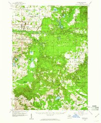 1959 Custer1960 Print · USGSIn the late fifties, the central Michigan woods around Custer were a landscape of deep national forest and active rail lines. Genealogists and local historians can trace family locations near Crystal Valley, old rural schoolhouses like Elmwood Sch, and several remote Gravel Pits.3 unique versions available
 - 1976 Map of Custer NE
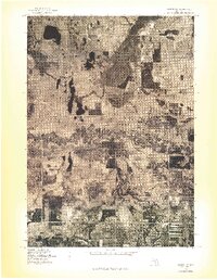 1976 Custer NE1976 Print · USGSMason County forest and farmland appear in striking aerial detail during the mid-1970s. Genealogists and local historians can trace property boundaries and river access points near Tallman, Walhalla, and the winding Pere Marquette River.
 - 1976 Map of Custer NW
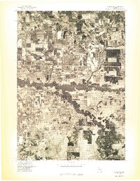 1976 Custer NW1976 Print · USGSThe Mason County countryside is captured in the mid-1970s through this aerial orthophoto, showing the rural landscape around the Custer settlement. You can trace the complex, winding path of the Pere Marquette River as it cuts through local farmsteads.
 - 1983 Map of Manistee
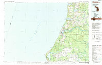 1983 Manistee1983 Print · USGSThe Lake Michigan shoreline and the wooded interior of Manistee and Mason Counties are shown here during the early 1980s. Genealogists and historians can trace rail-side towns along the Chesapeake and Ohio or explore old routes like the Old Indian Trail and settlements such as Freesoil and Kaleva.
 - 1983 Map of Ludington, 1984 Print
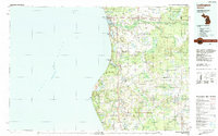 1983 Ludington1984 Print · USGSThe Michigan shoreline during the early eighties comes alive in this survey of the dunes and woodlands. Trace the Chesapeake and Ohio rail route through Ludington and Hart, or find family landmarks like Meisenheimer Corners and Wiley.
 - 1987 Map of Millerton, 1988 Print
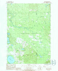 1987 Millerton1988 Print · USGSMason and Lake Counties come alive in the late eighties as a landscape of dense national forest and hidden waterways. Genealogists and historians can trace the paths of several Old RR Grades near Millerton or locate family landmarks around Ford Lake and Round Lake.
 - 1987 Map of Custer, 1988 Print
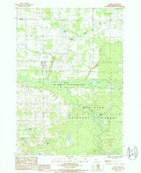 1987 Custer1988 Print · USGSMason County’s river-carved landscape is shown here in the 1980s, centered on the village of Custer. Researchers can trace old property boundaries and drainage patterns near Whelan Lake, Saunders Lake, and the winding Pere Marquette National Scenic River.
 - 1987 Map of Tallman, 1988 Print
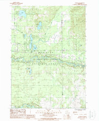 1987 Tallman1988 Print · USGSThe Mason County woodlands during the late 1980s reveal a landscape of secluded glacial lakes and timbered forest. Genealogists and local historians can trace the lakeside settlements of Tallman and Walhalla or follow the path of the Pere Marquette National Scenic River.
 - 1987 Map of Freesoil, 1988 Print
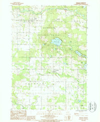 1987 Freesoil1988 Print · USGSMason County's wooded interior and small village centers are captured in the late eighties, just as the local rail and forest landscapes were evolving. Researchers can trace the C & O RR through Freesoil and Fountain or locate the Camp Sauble State Prison and Gun Lake.
End of results
Showing maps 1-18 of 18
Top cities near Sheridan Township
- Manistee historical maps
- Amber historical maps
- Scottville historical maps
- Oak Hill historical maps
- Eastlake historical maps
- Peacock historical maps
See more
Top neighborhoods of Sheridan Township
Frequently asked questions
- What are the different types of historical maps available for Sheridan Township?
- What is the oldest map of Sheridan Township?
- Where can I purchase historical maps of Sheridan Township for my home or office?
- Where can I download high-res historical maps of Sheridan Township?
- Are there historical topographic maps available for Sheridan Township?
- Is there historical aerial imagery available for Sheridan Township?
- Where are historical maps of Sheridan Township sourced from?