2000s (21st Century) Maps of Big Rapids, Michigan
Explore 10 historic maps of Big Rapids from the 2000s (21st Century). These maps offer a rare glimpse into what life looked like during the 2000s — showing old roads, neighborhoods, homes, and landmarks that have changed or disappeared over time.
Whether you're researching your family's past, planning a metal detecting trip, or studying how Big Rapids's landscape evolved across the 2000s, these high-resolution maps are a powerful tool for exploring the history of this region.
- Focus on a specific era: All maps on this page are from the 2000s, giving you a focused view of this time period.
- See what’s changed: Compare century-old streets, trails, and buildings to today's modern landscape using overlays and satellite layers.
- Research with precision: Use these maps for genealogy, historical research, land use analysis, or educational projects.
- View, download, or print: Maps are fully viewable online in high resolution, and can be downloaded or printed for your own records.
Start exploring Big Rapids's history through authentic maps from the 2000s. This is your window into the past.
Big Rapids, MI maps
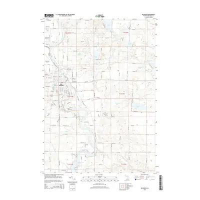
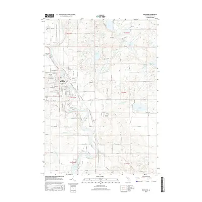
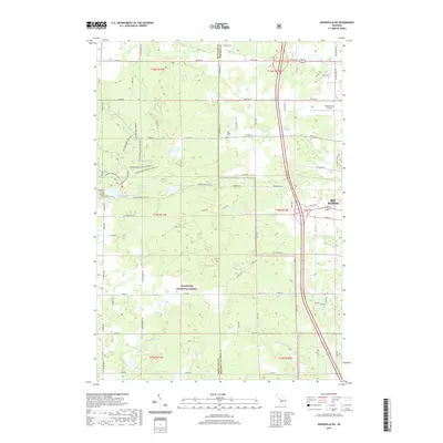
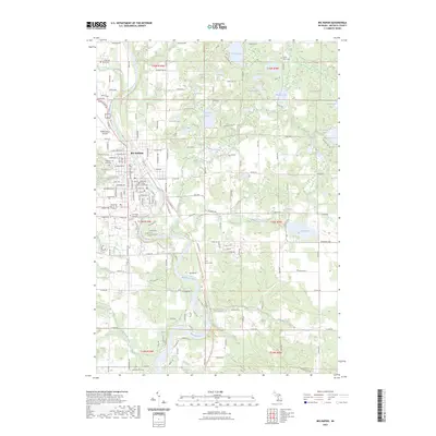
(10)- 2011 Map of Big Rapids, 2011 Print
 2011 Big Rapids2011 Print · USGSCovers Big Rapids, including Colfax Township, Mecosta Township, and other nearby areas
 - 2012 Map of Woodville NE, 2012 Print
 2012 Woodville NE2012 Print · USGSCovers Big Rapids, including Goodwell Township, Norwich Township, and other nearby areas
 - 2014 Map of Woodville NE, 2014 Print
 2014 Woodville NE2014 Print · USGSCovers Big Rapids, including Goodwell Township, Norwich Township, and other nearby areas
 - 2014 Map of Big Rapids, 2014 Print
 2014 Big Rapids2014 Print · USGSCovers Big Rapids, including Colfax Township, Mecosta Township, and other nearby areas
 - 2017 Map of Woodville NE, 2017 Print
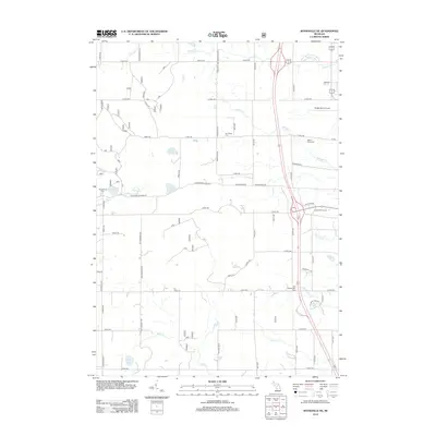
 2017 Woodville NE2017 Print · USGSCovers Big Rapids, including Goodwell Township, Norwich Township, and other nearby areas
 - 2017 Map of Big Rapids, 2017 Print
 2017 Big Rapids2017 Print · USGSCovers Big Rapids, including Colfax Township, Mecosta Township, and other nearby areas
 - 2019 Map of Big Rapids, 2019 Print
 2019 Big Rapids2019 Print · USGSCovers Big Rapids, including Colfax Township, Mecosta Township, and other nearby areas
 - 2019 Map of Woodville NE, 2019 Print
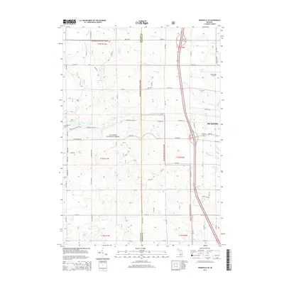
 2019 Woodville NE2019 Print · USGSCovers Big Rapids, including Goodwell Township, Norwich Township, and other nearby areas
 - 2023 Map of Big Rapids, 2023 Print
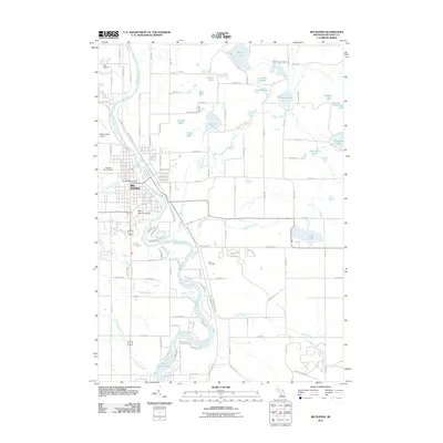
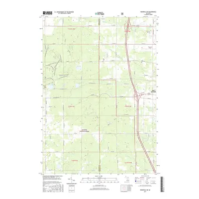
 2023 Big Rapids2023 Print · USGSBig Rapids and the Muskegon River valley are captured here in the early twenty-first century as the city continues its role as a regional educational and civic hub. Genealogists and local historians can locate the Mecosta County Courthouse, the Ferris State University campus, and local burial sites like Highland View Cem.
 - 2023 Map of Woodville NE, 2023 Print
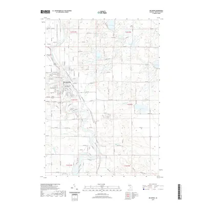
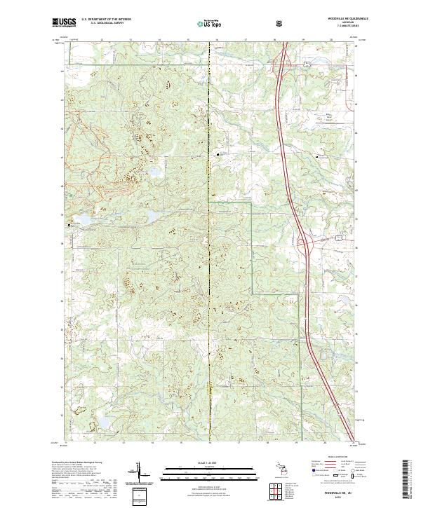 2023 Woodville NE2023 Print · USGSThe wooded border of Newaygo and Mecosta counties is captured here in the early twenty-first century as part of the Manistee National Forest. Genealogists and hikers can trace historical sites like Hungerford Cem and Van Gilder Cem or explore the extensive Hungerford Bike Trl.
End of results
Showing maps 1-10 of 10
Top cities near Big Rapids
- Big Prairie historical maps
- Reed City historical maps
- Evart historical maps
- Chase historical maps
- Morley historical maps
- Hersey historical maps
See more
Frequently asked questions
- What are the different types of historical maps available for Big Rapids?
- What is the oldest map of Big Rapids?
- Where can I purchase historical maps of Big Rapids for my home or office?
- Where can I download high-res historical maps of Big Rapids?
- Are there historical topographic maps available for Big Rapids?
- Is there historical aerial imagery available for Big Rapids?
- Where are historical maps of Big Rapids sourced from?