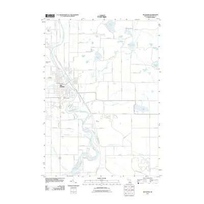
2011 Map of Big Rapids
USGS Topo · Published 2011About this map
The Muskegon River winds southward through the center of this landscape, anchoring the city of Big Rapids and the sprawling campus of Ferris State University. This 2011 map documents the suburban and academic expansion of the area, where the river's flow is punctuated by the Rogers Dam Pond to the south. Transportation corridors like the White Pine Trl follow the river valley, reflecting the conversion of former rail lines into modern recreational paths.
Find a feature on this map
109 named features on this map. Tap any name to fly to it.
Don’t see what you’re looking for? This feature index may not catch every label — zoom into the map to look around manually.
Map Details
Editions of this 2011 Big Rapids Map
This is the sole edition of this map. No revisions or reprints were ever made.
Other maps of this area

1954 · Midland
USGS Topo · 1:250,000

1958 · Midland
USGS Topo · 1:250,000

1958 · Woodville
USGS Topo · 1:62,500

1958 · Big Rapids
USGS Topo · 1:62,500

1959 · Midland
USGS Topo · 1:250,000

1959 · Evart
USGS Topo · 1:62,500

1959 · Reed City
USGS Topo · 1:62,500

1966 · Midland
USGS Topo · 1:250,000

1976 · Big Rapids SE
USGS Topo · 1:24,000

1976 · Evart SW
USGS Topo · 1:24,000