Old Maps of Mecosta Township, Michigan for Academic Research
Study the evolution of Mecosta Township with 34 high-resolution historic maps. Whether you're teaching, researching, or modeling changes in land use, these maps provide essential visual documentation of urban, environmental, and geographic change.
- Analyze long-term change: Track patterns in development, transportation, and natural features.
- Ideal for environmental or urban studies: Support academic projects with primary historical map data.
- Use in the classroom or lab: Educators and researchers rely on these maps to bring historical context to life.
These maps are a powerful tool for teaching, research, and visualizing how Mecosta Township has changed over the decades.
Mecosta Township, MI maps
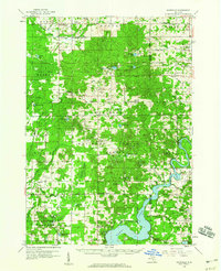
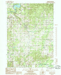
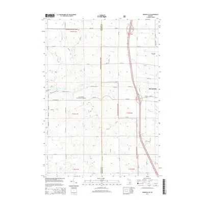
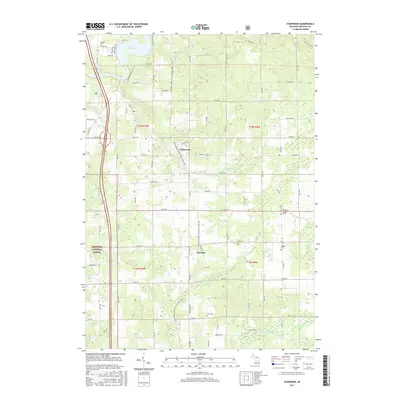
(34)- 1954 Map of Midland, 1967 Print
 1954 Midland1967 Print · USGSMid-Michigan at the peak of the post-war era shows a landscape balancing industrial growth in Midland with the deep timberlands of the Manistee National Forest. Researchers can trace the legacy of the timber and rail era along the Pennsylvania RR or find family roots in river towns like Chesaning and Big Rapids.4 unique versions available
 - 1958 Map of Midland
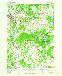
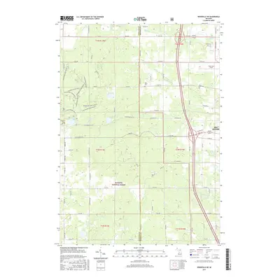
 1958 Midland1958 Print · USGSCentral Michigan in the late fifties is captured here during a period of transition for its university towns and industrial hubs. Genealogists and researchers can trace family lines through old rail-stop towns like Breckenridge and Chesaning or locate property near the Muskegon River and Prairie Farm.
 - 1958 Map of Woodville, 1960 Print
 1958 Woodville1960 Print · USGSNewaygo County and the Manistee National Forest are shown in the late fifties as a landscape of timber-town history and modern energy production. Researchers can locate family landmarks like the Old Prairie Everett Cemetery, Big Jackson School, and the remote Trumbull Corners settlement.3 unique versions available
 - 1958 Map of Big Rapids, 1960 Print
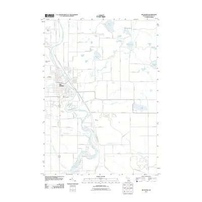
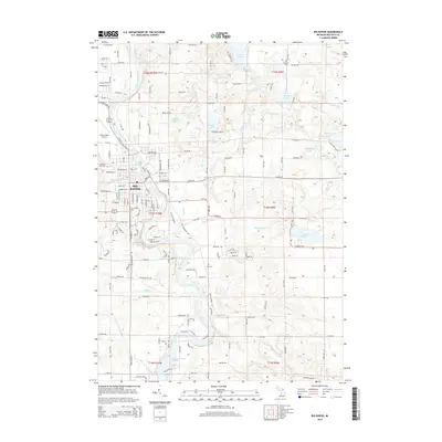
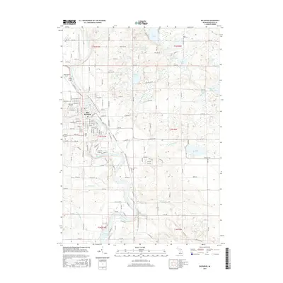
 1958 Big Rapids1960 Print · USGSBig Rapids and the Muskegon River valley are captured here in the late fifties, showing a landscape of dense forests and glacial lakes. Genealogists and local historians can locate early landmarks like Ferris Institute, Austin Ch, and family plots such as Holt Cem.3 unique versions available
 - 1959 Map of Midland
 1959 Midland1959 Print · USGSMid-century Michigan comes alive in this survey of the central Lower Peninsula, from the streets of Grand Rapids to the Houghton Lake timberlands. Genealogists and rail fans can trace the Ann Arbor RR and Chesapeake and Ohio RR through towns like Big Rapids and Mount Pleasant.
 - 1966 Map of Midland
 1966 Midland1966 Print · USGSCentral Michigan in the mid-1960s shows a landscape of growing manufacturing hubs and active resource extraction. Genealogists and historians can trace the rail corridors of the Grand Trunk Western or locate family-named landmarks near Oil wells and the Muskegon River.
 - 1976 Map of Big Rapids SW, 1979 Print
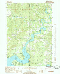
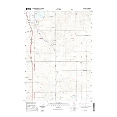
 1976 Big Rapids SW1979 Print · USGSMecosta County at the height of the 1970s shows a landscape of river-fed farm country and small village hubs. Trace rural roads to find the village of Stanwood or the riverbanks near Rogers Dam Pond and Higbee Corner.
 - 1976 Map of Big Rapids NW, 1979 Print
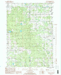
 1976 Big Rapids NW1979 Print · USGSBig Rapids and the surrounding Mecosta County countryside are captured in this mid-1970s aerial survey during a period of steady growth. Researchers can trace the exact 1976 shoreline of the Muskegon River and see the early residential footprints near Clear Lake.
 - 1984 Map of Big Rapids
 1984 Big Rapids1984 Print · USGSMid-Michigan in the mid-eighties shows a balance of deep-woods conservation and riverfront industry centered on the Muskegon River. Genealogists and historians can trace rail-town development along the Chesapeake and Ohio or locate family sites near Idlewild, Reed City, and Forest Hill Cem.
 - 1985 Map of Stanwood
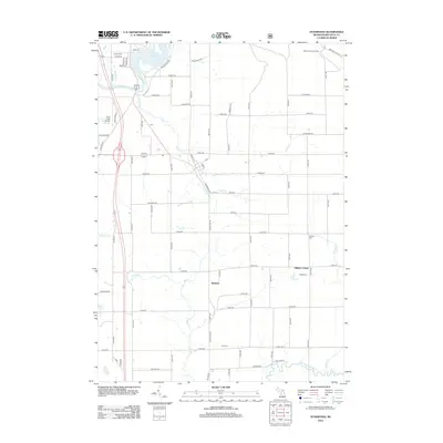
 1985 Stanwood1985 Print · USGSMecosta County at the mid-eighties shows a landscape of river-fed townships and public forests. Researchers can trace rural developments like Higbee Corner and Stanwood, find old Cem sites, or locate the Rogers Dam Pond and Doyle Lake.
 - 1985 Map of Big Bend
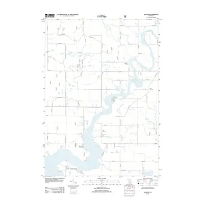
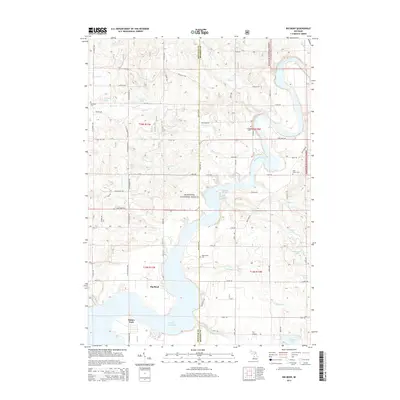
 1985 Big Bend1985 Print · USGSThe Muskegon River oxbow and the upper reaches of Hardy Dam Pond define this 1980s landscape along the Newaygo and Mecosta county line. Local historians and genealogists can trace lakeside landmarks like Brower Park and the small settlement of Bennett.
 - 1985 Map of Woodville NE
 1985 Woodville NE1985 Print · USGSThe border of Newaygo and Mecosta Counties is captured here in the mid-1980s as the Manistee National Forest meets the expansion of Big Rapids. Genealogists and local historians can locate the Cem, trace family-named creeks like Betts Creek, and find mid-century landmarks like the Drive-In Theater.2 unique versions available
 - 1985 Map of Big Rapids
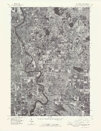
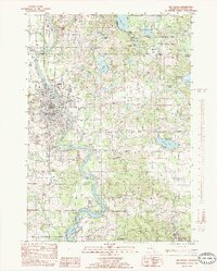 1985 Big Rapids1985 Print · USGSBig Rapids and the Muskegon River valley are captured in the mid-1980s as the community expanded around its educational and industrial hubs. Researchers can trace the layout of Ferris State College, find the Old RR Grade, and locate rural landmarks like Rogers Dam and Byers.2 unique versions available
 - 1991 Map of Big Rapids
 1991 Big Rapids1991 Print · USGSWest Michigan’s river valleys and timberlands are charted here during the early nineties, centered on the Big Rapids corridor. Researchers can trace the path of the C & O RR through settlements like Reed City, Baldwin, and White Cloud.
 - 2011 Map of Big Rapids, 2011 Print
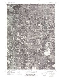
 2011 Big Rapids2011 Print · USGSCovers Mecosta Township, including Big Rapids, Colfax Township, and other nearby areas
 - 2012 Map of Stanwood, 2012 Print
 2012 Stanwood2012 Print · USGSCovers Mecosta Township, including Stanwood, Borland, and other nearby areas
 - 2012 Map of Woodville NE, 2012 Print
 2012 Woodville NE2012 Print · USGSCovers Mecosta Township, including Big Rapids, Goodwell Township, and other nearby areas
 - 2012 Map of Big Bend, 2012 Print
 2012 Big Bend2012 Print · USGSCovers Mecosta Township, including Goodwell Township, Big Prairie Township, and other nearby areas
 - 2014 Map of Woodville NE, 2014 Print
 2014 Woodville NE2014 Print · USGSCovers Mecosta Township, including Big Rapids, Goodwell Township, and other nearby areas
 - 2014 Map of Big Rapids, 2014 Print
 2014 Big Rapids2014 Print · USGSCovers Mecosta Township, including Big Rapids, Colfax Township, and other nearby areas
 - 2014 Map of Stanwood, 2014 Print
 2014 Stanwood2014 Print · USGSCovers Mecosta Township, including Stanwood, Borland, and other nearby areas
 - 2014 Map of Big Bend, 2014 Print
 2014 Big Bend2014 Print · USGSCovers Mecosta Township, including Goodwell Township, Big Prairie Township, and other nearby areas
 - 2017 Map of Stanwood, 2017 Print
 2017 Stanwood2017 Print · USGSCovers Mecosta Township, including Stanwood, Borland, and other nearby areas
 - 2017 Map of Woodville NE, 2017 Print
 2017 Woodville NE2017 Print · USGSCovers Mecosta Township, including Big Rapids, Goodwell Township, and other nearby areas
 - 2017 Map of Big Rapids, 2017 Print
 2017 Big Rapids2017 Print · USGSCovers Mecosta Township, including Big Rapids, Colfax Township, and other nearby areas
Showing maps 1-25 of 34
Top cities near Mecosta Township
- Big Rapids historical maps
- Croton historical maps
- Big Prairie historical maps
- Howard City historical maps
- Lakeview historical maps
- Morley historical maps
See more
Top neighborhoods of Mecosta Township
Frequently asked questions
- What are the different types of historical maps available for Mecosta Township?
- What is the oldest map of Mecosta Township?
- Where can I purchase historical maps of Mecosta Township for my home or office?
- Where can I download high-res historical maps of Mecosta Township?
- Are there historical topographic maps available for Mecosta Township?
- Is there historical aerial imagery available for Mecosta Township?
- Where are historical maps of Mecosta Township sourced from?