2000s (21st Century) Maps of Menominee Township, Michigan
Explore 25 historic maps of Menominee Township from the 2000s (21st Century). These maps offer a rare glimpse into what life looked like during the 2000s — showing old roads, neighborhoods, homes, and landmarks that have changed or disappeared over time.
Whether you're researching your family's past, planning a metal detecting trip, or studying how Menominee Township's landscape evolved across the 2000s, these high-resolution maps are a powerful tool for exploring the history of this region.
- Focus on a specific era: All maps on this page are from the 2000s, giving you a focused view of this time period.
- See what’s changed: Compare century-old streets, trails, and buildings to today's modern landscape using overlays and satellite layers.
- Research with precision: Use these maps for genealogy, historical research, land use analysis, or educational projects.
- View, download, or print: Maps are fully viewable online in high resolution, and can be downloaded or printed for your own records.
Start exploring Menominee Township's history through authentic maps from the 2000s. This is your window into the past.
Menominee Township, MI maps
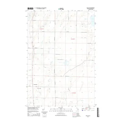
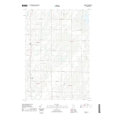
(25)- 2011 Map of Wallace, 2011 Print
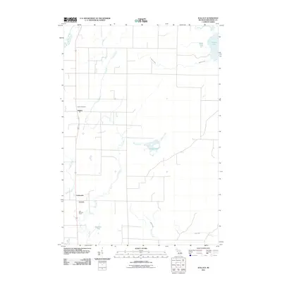 2011 Wallace2011 Print · USGSCovers Menominee Township, including Carbondale, Wallace, and other nearby areas
 - 2011 Map of Chappee Rapids, 2011 Print
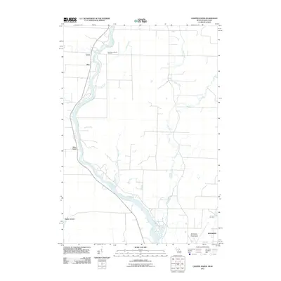 2011 Chappee Rapids2011 Print · USGSCovers Menominee Township, including Menominee, Porterfield, and other nearby areas
 - 2011 Map of Birch Creek, 2011 Print
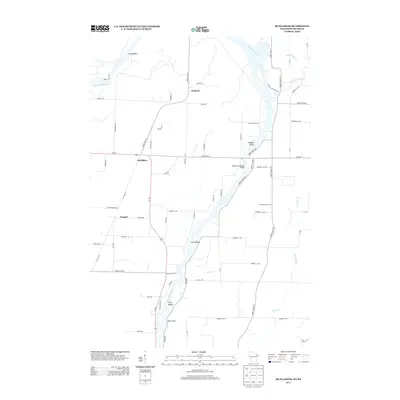
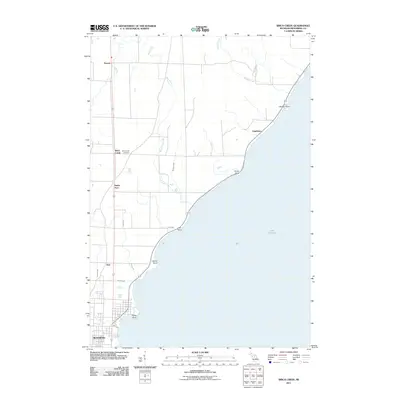 2011 Birch Creek2011 Print · USGSCovers Menominee Township, including Menominee, Ingallston, and other nearby areas
 - 2011 Map of McAllister, 2011 Print
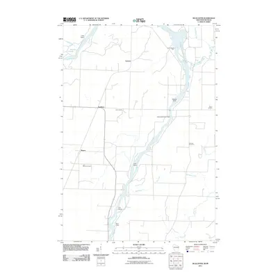 2011 McAllister2011 Print · USGSCovers Menominee Township, including Wagner, Mellen Township, and other nearby areas
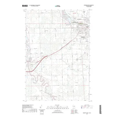
 - 2011 Map of Marinette West, 2011 Print
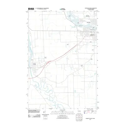 2011 Marinette West2011 Print · USGSCovers Menominee Township, including Marinette, Menominee, and other nearby areas
 - 2013 Map of McAllister, 2013 Print
 2013 McAllister2013 Print · USGSCovers Menominee Township, including Wagner, Mellen Township, and other nearby areas
 - 2013 Map of Marinette West, 2013 Print
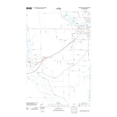 2013 Marinette West2013 Print · USGSCovers Menominee Township, including Marinette, Menominee, and other nearby areas
 - 2014 Map of Wallace, 2014 Print
 2014 Wallace2014 Print · USGSCovers Menominee Township, including Carbondale, Wallace, and other nearby areas
 - 2014 Map of Chappee Rapids, 2014 Print
 2014 Chappee Rapids2014 Print · USGSCovers Menominee Township, including Menominee, Porterfield, and other nearby areas
 - 2014 Map of Birch Creek, 2014 Print
 2014 Birch Creek2014 Print · USGSCovers Menominee Township, including Menominee, Ingallston, and other nearby areas
 - 2016 Map of McAllister, 2016 Print
 2016 McAllister2016 Print · USGSCovers Menominee Township, including Wagner, Mellen Township, and other nearby areas
 - 2016 Map of Marinette West, 2016 Print
 2016 Marinette West2016 Print · USGSCovers Menominee Township, including Marinette, Menominee, and other nearby areas
 - 2017 Map of Chappee Rapids, 2017 Print
 2017 Chappee Rapids2017 Print · USGSCovers Menominee Township, including Menominee, Porterfield, and other nearby areas
 - 2017 Map of Wallace, 2017 Print
 2017 Wallace2017 Print · USGSCovers Menominee Township, including Carbondale, Wallace, and other nearby areas
 - 2017 Map of Birch Creek, 2017 Print
 2017 Birch Creek2017 Print · USGSCovers Menominee Township, including Menominee, Ingallston, and other nearby areas
 - 2018 Map of McAllister, 2018 Print
 2018 McAllister2018 Print · USGSCovers Menominee Township, including Wagner, Mellen Township, and other nearby areas
 - 2018 Map of Marinette West, 2018 Print
 2018 Marinette West2018 Print · USGSCovers Menominee Township, including Marinette, Menominee, and other nearby areas
 - 2019 Map of Birch Creek, 2019 Print
 2019 Birch Creek2019 Print · USGSCovers Menominee Township, including Menominee, Ingallston, and other nearby areas
 - 2019 Map of Wallace, 2019 Print
 2019 Wallace2019 Print · USGSCovers Menominee Township, including Carbondale, Wallace, and other nearby areas
 - 2019 Map of Chappee Rapids, 2019 Print
 2019 Chappee Rapids2019 Print · USGSCovers Menominee Township, including Menominee, Porterfield, and other nearby areas
 - 2022 Map of McAllister, 2022 Print
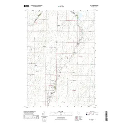
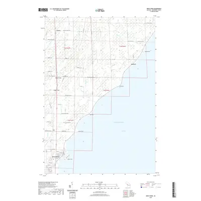
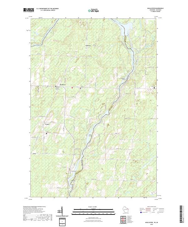 2022 McAllister2022 Print · USGSThe Menominee River border between Wisconsin and Michigan comes alive in this 2020s survey of the northern timberlands and rural settlements. Genealogists can locate family landmarks at Saint Edwards Cem or the Tabor Lutheran Cem and trace the old routes of McAllister and Goll.
 - 2022 Map of Marinette West, 2022 Print
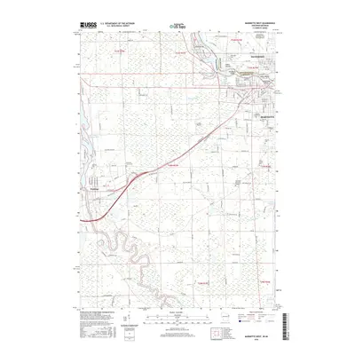
 2022 Marinette West2022 Print · USGSThe riverfront border between Wisconsin and Michigan comes into focus in this recent survey of the Twin Cities region. Genealogists and historians can trace numerous burial sites like Forest Home Cem and explore the area surrounding the Indian Mound.
 - 2023 Map of Wallace, 2023 Print
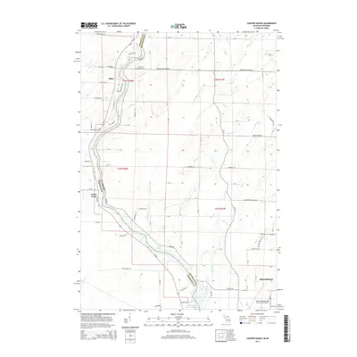
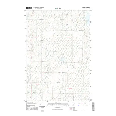
 2023 Wallace2023 Print · USGSMenominee County is depicted in this recent survey, showing the rural communities of Wallace and Carbondale amid a complex network of Upper Peninsula waterways. Researchers can trace family road names and local landmarks like Mission Church No 14 Ln or the shores of Hayward Lake.
 - 2023 Map of Birch Creek, 2023 Print
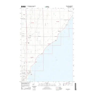
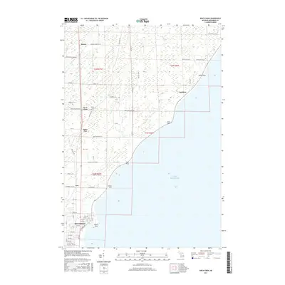
 2023 Birch Creek2023 Print · USGSThe Menominee County shoreline comes into focus during the early twenty-first century, showing the transition from rural woodlands to the city's edge. Researchers can locate the Birch Creek Cem and trace coastal landmarks like Stony Point and Beattie Point.
 - 2023 Map of Chappee Rapids, 2023 Print
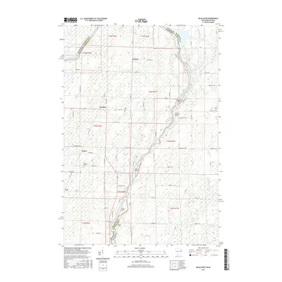
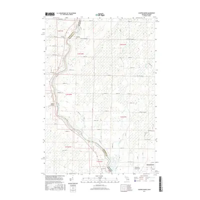
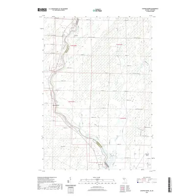
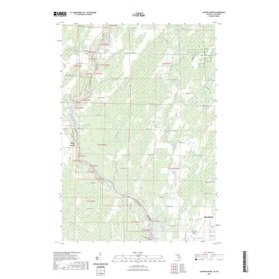 2023 Chappee Rapids2023 Print · USGSThe river border between Michigan and Wisconsin is captured here in the 2020s, showcasing the rural landscapes along the Menominee River. Genealogists can locate Saint Mary's Mission Cem and Winesville Cem, while tracing local landmarks like Chappee Rapids and Rubys Corner.
End of results
Showing maps 1-25 of 25
Top cities near Menominee Township
- Marinette historical maps
- Menominee historical maps
- Peshtigo historical maps
- Peshtigo historical maps
- Porterfield historical maps
- Ingallston historical maps
See more
Top neighborhoods of Menominee Township
- Birch Creek historical maps
- Hansen historical maps
- Kew historical maps
- Carbondale historical maps
- Eagles Nest historical maps
Frequently asked questions
- What are the different types of historical maps available for Menominee Township?
- What is the oldest map of Menominee Township?
- Where can I purchase historical maps of Menominee Township for my home or office?
- Where can I download high-res historical maps of Menominee Township?
- Are there historical topographic maps available for Menominee Township?
- Is there historical aerial imagery available for Menominee Township?
- Where are historical maps of Menominee Township sourced from?