Old Maps of Menominee Township, Michigan for Hiking & Exploration
Hike through history with 38 historic maps of Menominee Township. Explore old trails, ghost towns, and forgotten backroads — perfect for outdoor adventurers and local explorers.
- Rediscover forgotten places: Map out old mining camps, roads, and footpaths that no longer exist on modern maps.
- Layer with modern tools: Combine with LiDAR or satellite views to plan hikes through historical terrain.
- Made for exploration: Popular among hikers, overlanders, and local history lovers.
Use these maps to find adventure and explore the hidden past of Menominee Township.
Menominee Township, MI maps
(38)- 1939 Map of Marinette
 1939 Marinette1939 Print · USGSThe Green Bay shoreline and the Menominee River border come to life in the late 1930s as industrial and rural landscapes intersect. Genealogists can trace family footprints through numerous rural schools like Garfield Sch and Columbus Sch or the settlement at Winesville.
 - 1949 Map of Stephenson
 1949 Stephenson1949 Print · USGSThe Menominee River borderlands are shown in detail during the late 1940s, highlighting the transition from timber extraction to settled rural life. Researchers can trace the Old Logging Railroad Grade and locate community landmarks like the McAllister Sch and Goll Cem.
 - 1954 Map of Escanaba, 1967 Print
 1954 Escanaba1967 Print · USGSThe Upper Peninsula and Door County shorelines meet here in the mid-fifties, showing the vital maritime and timber networks of the Great Lakes. Researchers can trace historic rail lines, old fire lookouts like the Stonington Fire Tower, and island settlements such as Washington Island.2 unique versions available
 - 1957 Map of Escanaba
 1957 Escanaba1957 Print · USGSThe Upper Peninsula and Door County shorelines meet in the mid-fifties, capturing a landscape of timber, iron, and maritime trade. Genealogists and local historians can trace the Chicago & North Western RR through settlements like Hermansville or locate St Vitals Church and the Potawatome Indian Reservation.
 - 1958 Map of Escanaba
 1958 Escanaba1958 Print · USGSNorthern Lake Michigan maritime commerce and timberlands are captured here in the mid-fifties. Genealogists and historians can trace rail networks like the Escanaba and Lake Superior or locate island settlements such as Detroit Harbor and Fish Creek.
 - 1963 Map of Marinette West, 1964 Print
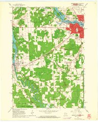 1963 Marinette West1964 Print · USGSMarinette and Peshtigo were bustling hubs of industry and education in the early sixties as they expanded along their respective rivers. Genealogists and historians can trace numerous family sites at Forest Home Cemetery and Riverside Cemetery, or locate vanished rural landmarks like Stewart Sch.2 unique versions available
 - 1963 Map of Birch Creek, 1964 Print
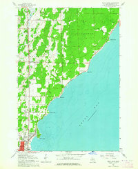 1963 Birch Creek1964 Print · USGSThe Menominee County shoreline comes alive in the early sixties as a mix of growing neighborhoods and rural outposts. Genealogists can trace family roots through several local landmarks like Evergreen Sch, Grant Sch, and the community at Birch Creek.2 unique versions available
 - 1963 Map of Chappee Rapids, 1964 Print
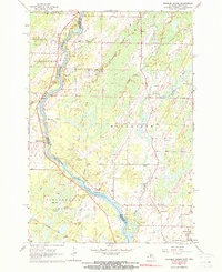 1963 Chappee Rapids1964 Print · USGSThe Menominee River borderlands are captured here in the mid-1960s, showing the rural transition between Wisconsin and Michigan. Genealogists and historians can trace family locations near St Marys Mission, the Winesville Cem, and the tracks of the Chicago Milwaukee St Paul and Pacific railroad.2 unique versions available
 - 1963 Map of Stephenson, 1965 Print
 1963 Stephenson1965 Print · USGSThe Menominee River borderlands in the early sixties reveal a network of rail-side timber and farming towns. Genealogists can trace family roots at the Danish Cem, St Marks Ch, or the rural McAllister Sch near the Grand Rapids Dam.
 - 1963 Map of Marinette, 1965 Print
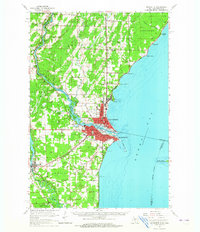 1963 Marinette1965 Print · USGSThe industrial twin cities of the Michigan-Wisconsin border are captured here in the early sixties, centered on the Menominee River and Green Bay coast. Genealogists and historians can trace rail lines, rural schoolhouses like Hamilton Sch, and family sites at Riverside Cem.
 - 1981 Map of Marinette, 1982 Print
 1981 Marinette1982 Print · USGSThe Menominee River valley and Door County peninsula are captured here in the early 1980s, showcasing the region's timber and maritime foundations. Researchers can trace historic shorelines from Fish Creek to Deathdoor Bluff or locate inland landmarks like Lake Noquebay and Kangaroo Lake.
 - 1982 Map of Wallace, 1983 Print
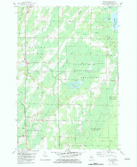 1982 Wallace1983 Print · USGSUpper Peninsula timberlands and small settlements are captured here in the early 1980s, centered on the Chicago and North Western rail corridor. Genealogists and local historians can trace rural roots at Bethel Mission Ch, Mellen Sch, and the community of Carbondale.
 - 1982 Map of Mc Allister, 1983 Print
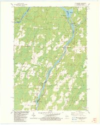 1982 Mc Allister1983 Print · USGSThe Menominee River valley at the Wisconsin-Michigan border is shown here in the early 1980s, documenting a landscape of rural hamlets and river power. Genealogists can trace family names at St Edwards Cem or locate the old McAllister Sch and Wallace-McAllister Bridge.
 - 2011 Map of Wallace, 2011 Print
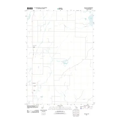 2011 Wallace2011 Print · USGSMenominee County's rural character is on full display in the early twenty-first century, centered on the settlements of Wallace and Carbondale. Researchers can trace local water systems and landmarks like the Wallace Post Office, Hanson Lake, and Bertholdt Lake.
 - 2011 Map of Chappee Rapids, 2011 Print
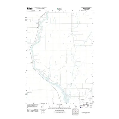 2011 Chappee Rapids2011 Print · USGSThe Menominee River borderlands are captured here in the early twenty-first century as they wind through Michigan and Wisconsin. Trace local family history and rural settlements at Saint Mary's Mission Cemetery, Bagley Junction, and Rubys Corner.
 - 2011 Map of Birch Creek, 2011 Print
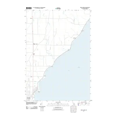 2011 Birch Creek2011 Print · USGSThe northern edge of the Upper Peninsula shoreline at Menominee is captured in this 2011 survey. Local researchers can trace coastal landmarks like Juttner Point and Stony Point or find the rural Birch Creek Cemetery near Ingallston.
 - 2011 Map of McAllister, 2011 Print
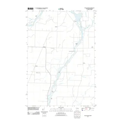 2011 McAllister2011 Print · USGSThe Wisconsin-Michigan borderlands come into focus in the early twenty-first century, centered on the winding Menominee River. Genealogists and local historians can trace family sites at Saint Edwards Cemetery, the Grand Rapids Dam, and the small settlement of McAllister.
 - 2011 Map of Marinette West, 2011 Print
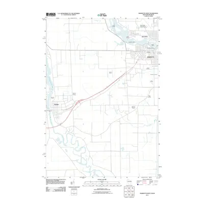 2011 Marinette West2011 Print · USGSThe Wisconsin-Michigan border comes to life in this early 21st-century survey of the Marinette and Peshtigo area. Researchers can trace land use near the Menominee River, locating several family-history sites such as the Hebrew Cemetery and Indian Mound.
 - 2013 Map of McAllister, 2013 Print
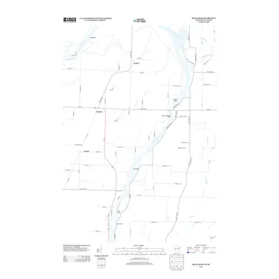 2013 McAllister2013 Print · USGSThe Menominee River valley at the Wisconsin-Michigan border is shown here in the early 2010s, centering on the rural community of McAllister. Researchers can trace old transportation corridors like Old Rail Rd or locate river landmarks such as Long Island and the Wallace McAllister Bridge.
 - 2013 Map of Marinette West, 2013 Print
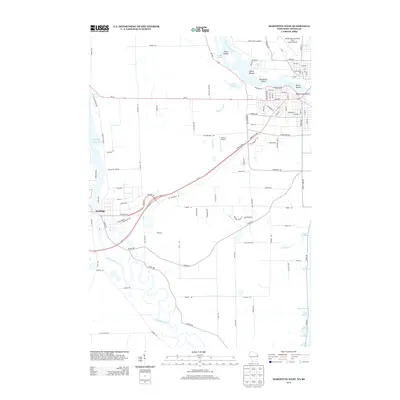 2013 Marinette West2013 Print · USGSThe Wisconsin-Michigan border comes into focus in this early twenty-first century survey of the twin-city region. Researchers can trace the winding Peshtigo River and locate significant local landmarks like the Indian Mound and Stephenson Island.
 - 2014 Map of Wallace, 2014 Print
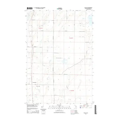 2014 Wallace2014 Print · USGSUpper Peninsula life in the early twenty-first century is captured here through the rural settlements and waterways of Menominee County. Genealogists and local historians can trace family locations along Co Road 342 or near landmarks like Hanson Lake and Carbondale.
 - 2014 Map of Chappee Rapids, 2014 Print
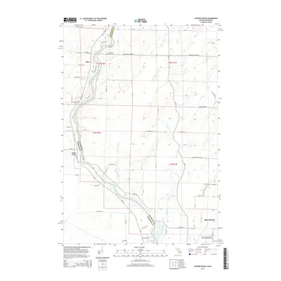 2014 Chappee Rapids2014 Print · USGSThe river border between Michigan and Wisconsin is captured here as it appeared in the early 21st century. Researchers can locate local landmarks like Winesville Cem, trace the waters of Chappee Rapids, and explore the settlement at Rubys Corner.
 - 2014 Map of Birch Creek, 2014 Print
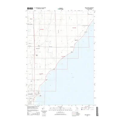 2014 Birch Creek2014 Print · USGSCoastal Menominee County is documented here in the mid-2010s as the urban grid gives way to a network of creeks and shoreline points. Researchers can trace local landmarks like Birch Creek Cem or follow the route of Million Dollar Road Number 9 past Ingallston.
 - 2016 Map of McAllister, 2016 Print
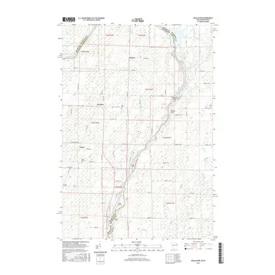 2016 McAllister2016 Print · USGSThe riverine border between Wisconsin and Michigan is documented here in the mid-2010s, centered on the Menominee River corridor. Genealogists and local researchers can trace family landmarks like Saint Edwards Cem or locate the historic crossing at Wallace McAllister Bridge.
 - 2016 Map of Marinette West, 2016 Print
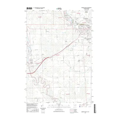 2016 Marinette West2016 Print · USGSThe borderlands of Marinette, Wisconsin, and Menominee, Michigan, are captured here during a period of modern development and preserved local history. Researchers can locate numerous historic burial grounds like Forest Home Cem and Saint Joseph Cem or trace the winding course of the Menominee River.
Showing maps 1-25 of 38
Top cities near Menominee Township
- Marinette historical maps
- Menominee historical maps
- Peshtigo historical maps
- Peshtigo historical maps
- Porterfield historical maps
- Ingallston historical maps
See more
Top neighborhoods of Menominee Township
- Birch Creek historical maps
- Hansen historical maps
- Kew historical maps
- Carbondale historical maps
- Eagles Nest historical maps
Frequently asked questions
- What are the different types of historical maps available for Menominee Township?
- What is the oldest map of Menominee Township?
- Where can I purchase historical maps of Menominee Township for my home or office?
- Where can I download high-res historical maps of Menominee Township?
- Are there historical topographic maps available for Menominee Township?
- Is there historical aerial imagery available for Menominee Township?
- Where are historical maps of Menominee Township sourced from?