2000s (21st Century) Maps of Missaukee County, Michigan
Explore 100 historic maps of Missaukee County from the 2000s (21st Century). These maps offer a rare glimpse into what life looked like during the 2000s — showing old roads, neighborhoods, homes, and landmarks that have changed or disappeared over time.
Whether you're researching your family's past, planning a metal detecting trip, or studying how Missaukee County's landscape evolved across the 2000s, these high-resolution maps are a powerful tool for exploring the history of this region.
- Focus on a specific era: All maps on this page are from the 2000s, giving you a focused view of this time period.
- See what’s changed: Compare century-old streets, trails, and buildings to today's modern landscape using overlays and satellite layers.
- Research with precision: Use these maps for genealogy, historical research, land use analysis, or educational projects.
- View, download, or print: Maps are fully viewable online in high resolution, and can be downloaded or printed for your own records.
Start exploring Missaukee County's history through authentic maps from the 2000s. This is your window into the past.
Missaukee County, MI maps
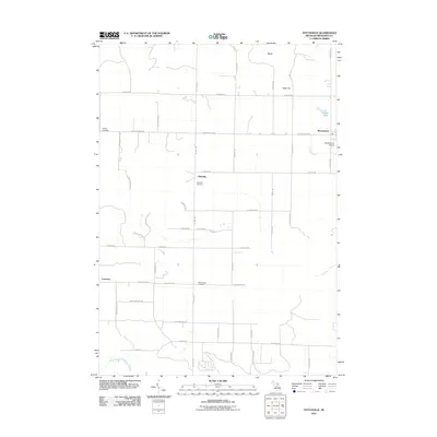
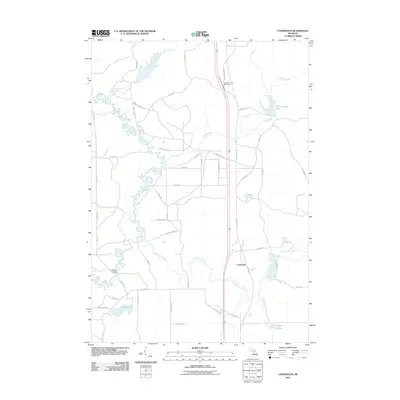
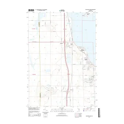
(100)- 2011 Map of Lucas, 2011 Print
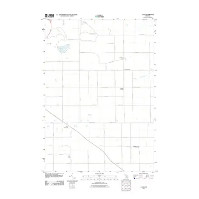 2011 Lucas2011 Print · USGSCovers Missaukee County, including Cadillac, Highland, and other nearby areas
 - 2011 Map of Sharon, 2011 Print
 2011 Sharon2011 Print · USGSCovers Missaukee County, including Garfield Township, Oliver Township, and other nearby areas
 - 2011 Map of Jennings, 2011 Print
 2011 Jennings2011 Print · USGSCovers Missaukee County, including Cadillac, Haring Township, and other nearby areas
 - 2011 Map of Lake City, 2011 Print
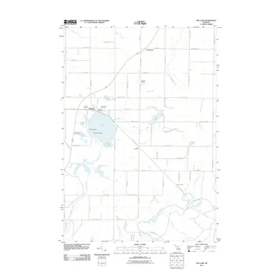
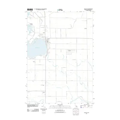 2011 Lake City2011 Print · USGSCovers Missaukee County, including Lake City, Caldwell Township, and other nearby areas
 - 2011 Map of Stittsville, 2011 Print
 2011 Stittsville2011 Print · USGSCovers Missaukee County, including Moorestown, Stittsville, and other nearby areas
 - 2011 Map of Fife Lake, 2011 Print
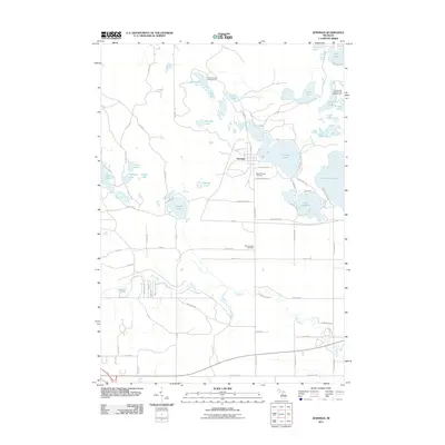
 2011 Fife Lake2011 Print · USGSCovers Missaukee County, including Fife Lake Township, Union Township, and other nearby areas
 - 2011 Map of Falmouth, 2011 Print
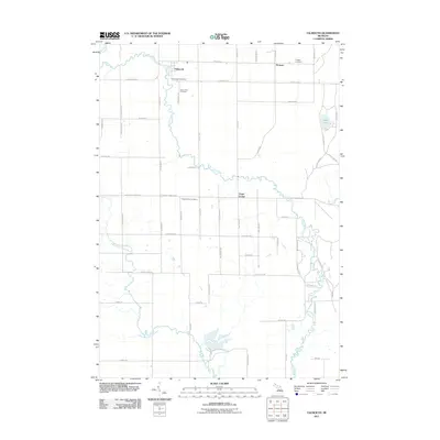 2011 Falmouth2011 Print · USGSCovers Missaukee County, including Falmouth, Prosper, and other nearby areas
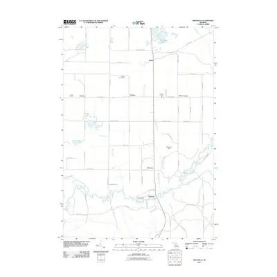
 - 2011 Map of McBain, 2011 Print
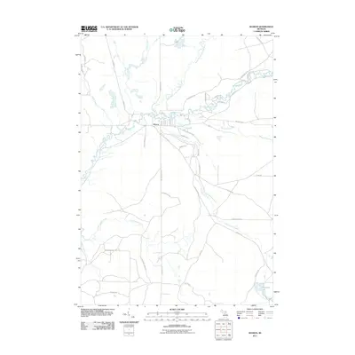
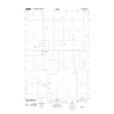 2011 McBain2011 Print · USGSCovers Missaukee County, including McBain, Park Lake, and other nearby areas
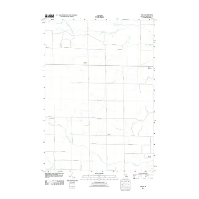
 - 2011 Map of Arlene, 2011 Print
 2011 Arlene2011 Print · USGSCovers Missaukee County, including Caldwell Township, Bloomfield Township, and other nearby areas
 - 2011 Map of Morey, 2011 Print
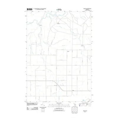
 2011 Morey2011 Print · USGSCovers Missaukee County, including Pioneer, Caldwell Township, and other nearby areas
 - 2011 Map of Houghton Lake, 2011 Print
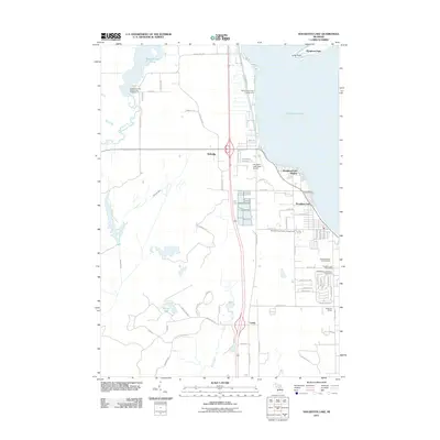 2011 Houghton Lake2011 Print · USGSCovers Missaukee County, including Houghton Lake, Enterprise Township, and other nearby areas
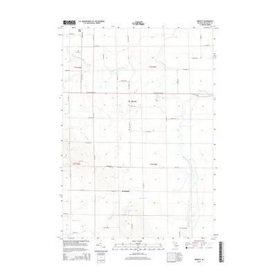
 - 2011 Map of Merritt, 2011 Print
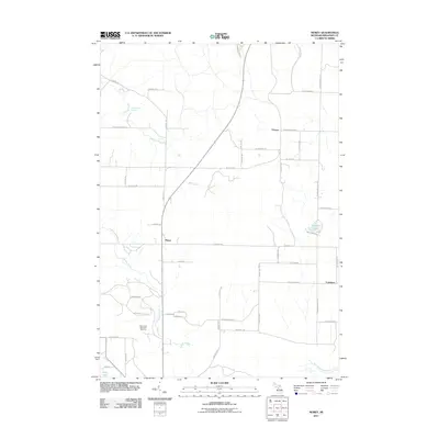
 2011 Merritt2011 Print · USGSCovers Missaukee County, including Butterfield, Enterprise Township, and other nearby areas
 - 2011 Map of Cooperton, 2011 Print
 2011 Cooperton2011 Print · USGSCovers Missaukee County, including Frost Township, Cooperton, and other nearby areas
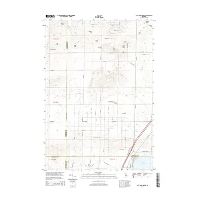
 - 2011 Map of Cote Dame Marie, 2011 Print
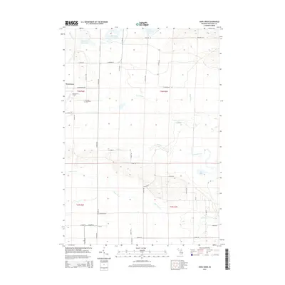
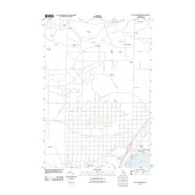 2011 Cote Dame Marie2011 Print · USGSCovers Missaukee County, including Beaver Creek Township, Bear Lake Township, and other nearby areas
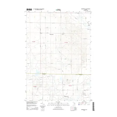
 - 2011 Map of Moddersville, 2011 Print
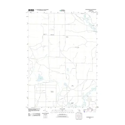 2011 Moddersville2011 Print · USGSCovers Missaukee County, including Dolph, Moddersville, and other nearby areas
 - 2011 Map of Fletcher, 2011 Print
 2011 Fletcher2011 Print · USGSCovers Missaukee County, including Bear Lake Township, Garfield Township, and other nearby areas
 - 2011 Map of Meads Landing, 2011 Print
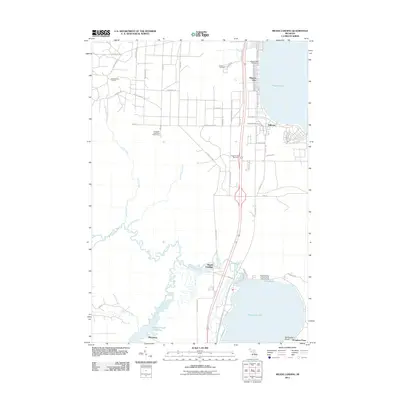 2011 Meads Landing2011 Print · USGSCovers Missaukee County, including Enterprise Township, Higgins Lake, and other nearby areas
 - 2011 Map of Addis Creek, 2011 Print
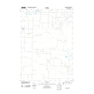 2011 Addis Creek2011 Print · USGSCovers Missaukee County, including Enterprise Township, Norwich Township, and other nearby areas
 - 2011 Map of Smithville, 2011 Print
 2011 Smithville2011 Print · USGSCovers Missaukee County, including Boardman Township, Garfield Township, and other nearby areas
 - 2011 Map of Dinca, 2011 Print
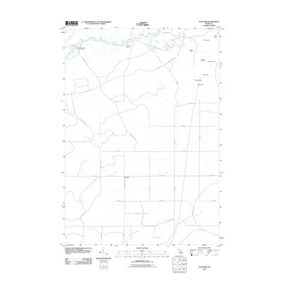
 2011 Dinca2011 Print · USGSCovers Missaukee County, including Aetna Township, Keelans Corner, and other nearby areas
 - 2014 Map of Addis Creek, 2014 Print
 2014 Addis Creek2014 Print · USGSCovers Missaukee County, including Enterprise Township, Norwich Township, and other nearby areas
 - 2014 Map of Cote Dame Marie, 2014 Print
 2014 Cote Dame Marie2014 Print · USGSCovers Missaukee County, including Beaver Creek Township, Bear Lake Township, and other nearby areas
 - 2014 Map of Merritt, 2014 Print
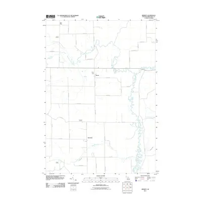
 2014 Merritt2014 Print · USGSCovers Missaukee County, including Butterfield, Enterprise Township, and other nearby areas
 - 2014 Map of Moddersville, 2014 Print
 2014 Moddersville2014 Print · USGSCovers Missaukee County, including Dolph, Moddersville, and other nearby areas
 - 2014 Map of Houghton Lake, 2014 Print
 2014 Houghton Lake2014 Print · USGSCovers Missaukee County, including Houghton Lake, Enterprise Township, and other nearby areas
Showing maps 1-25 of 100
Top cities of Missaukee County
Frequently asked questions
- What are the different types of historical maps available for Missaukee County?
- What is the oldest map of Missaukee County?
- Where can I purchase historical maps of Missaukee County for my home or office?
- Where can I download high-res historical maps of Missaukee County?
- Are there historical topographic maps available for Missaukee County?
- Is there historical aerial imagery available for Missaukee County?
- Where are historical maps of Missaukee County sourced from?